Back aboard and on the move

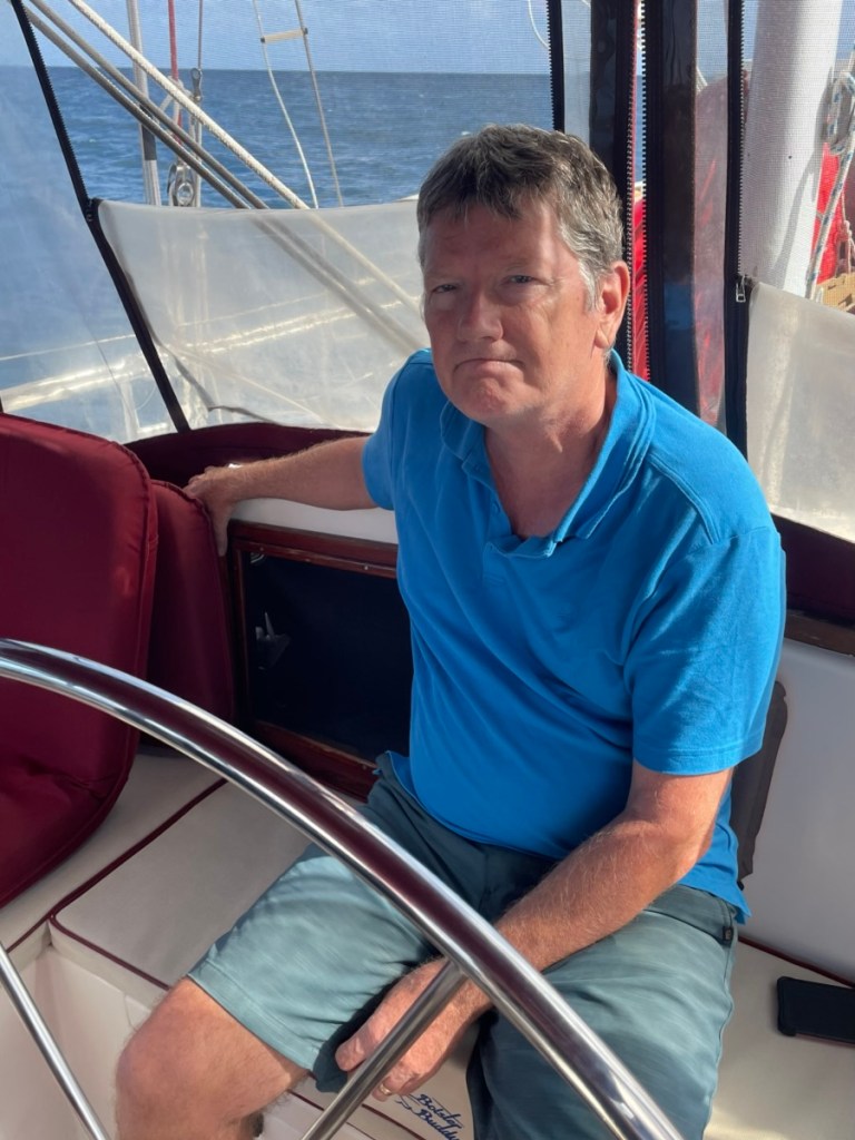
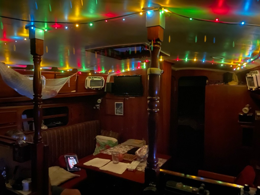
We had a wonderful Christmas holiday in Toronto. We spent time with both our families and had some quality time with Evelyn (Liam) and Caroline!! We arrived back at the boat late in the afternoon on Dec. 28th and all was well!

While at home we were watching the wind down here and saw a really good weather window to cross from the Virgin Islands to St. Martin but it started on Dec. 28th. We kept an eye on this window and sure enough it started to move a little later (Dec. 30 – Jan 2). We decided to make sure we were ready to leave the dock asap. On Dec. 29th we rented a car and did a major provisioning at Costco. We also stopped at a few other grocery stores so the boat is now stuffed full of food and drink!!

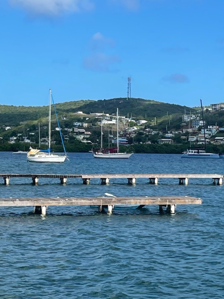
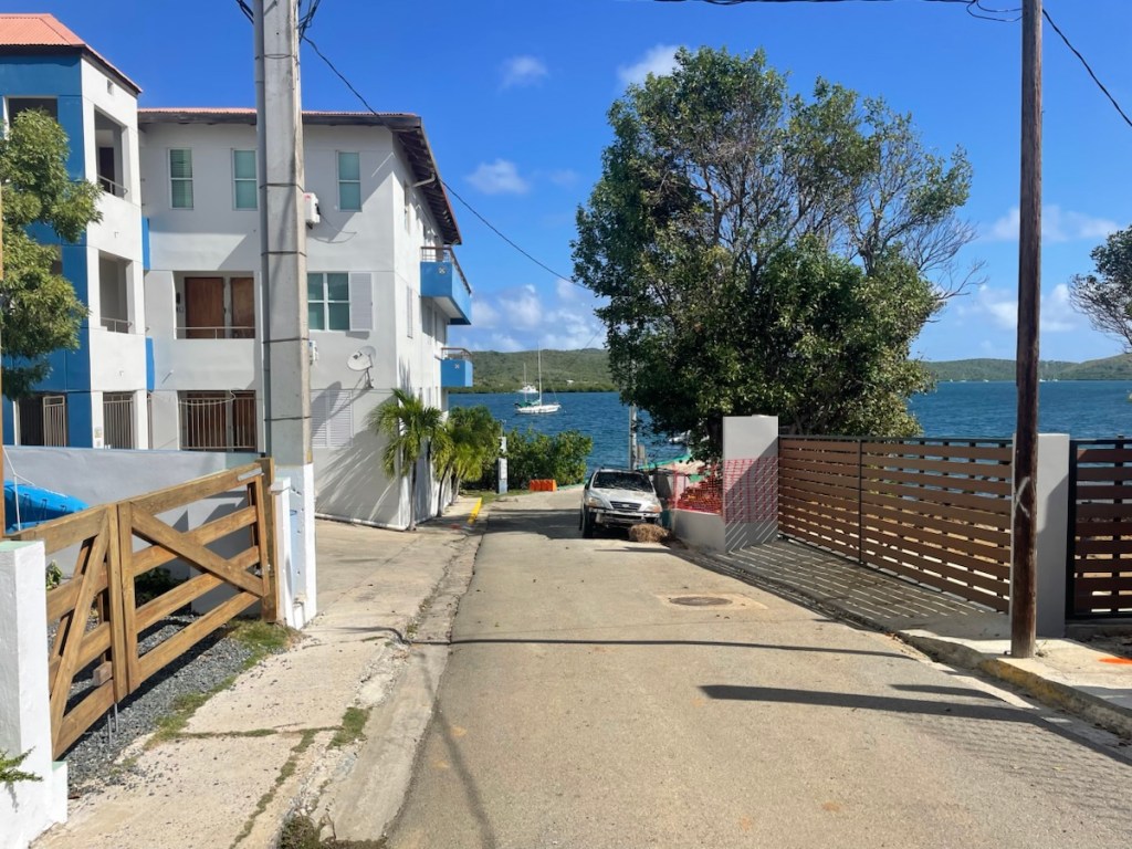
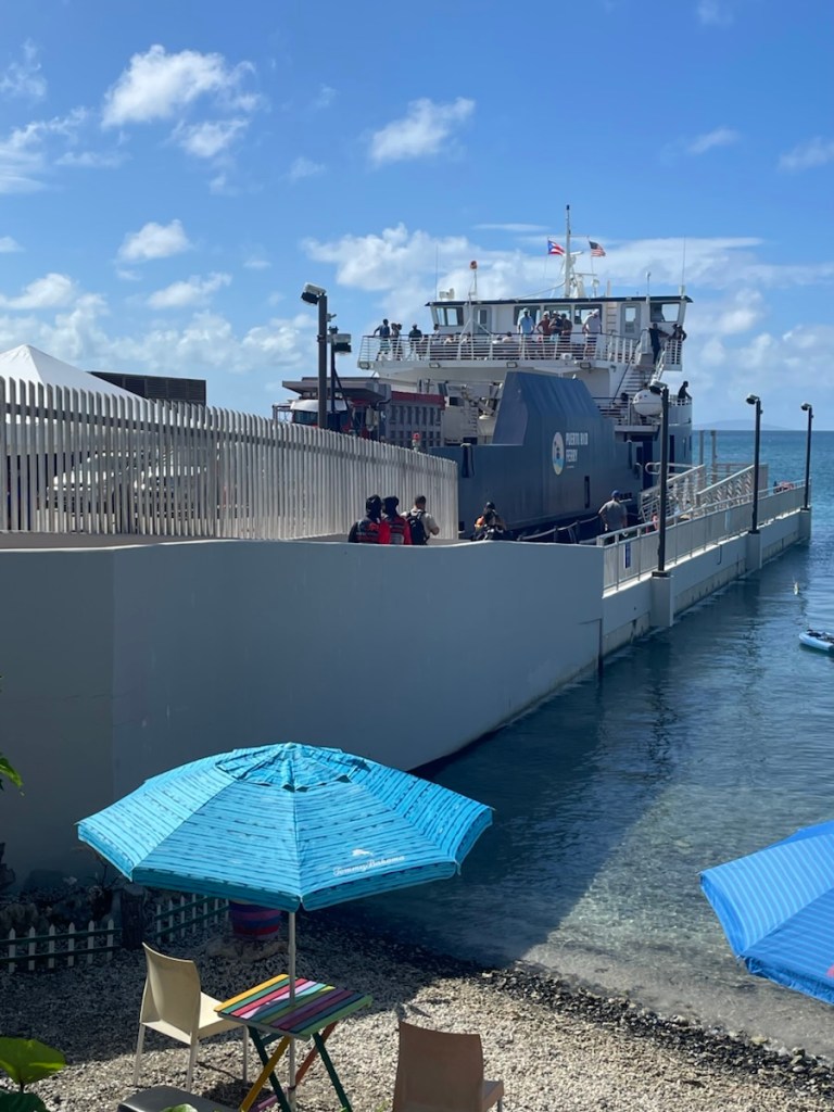
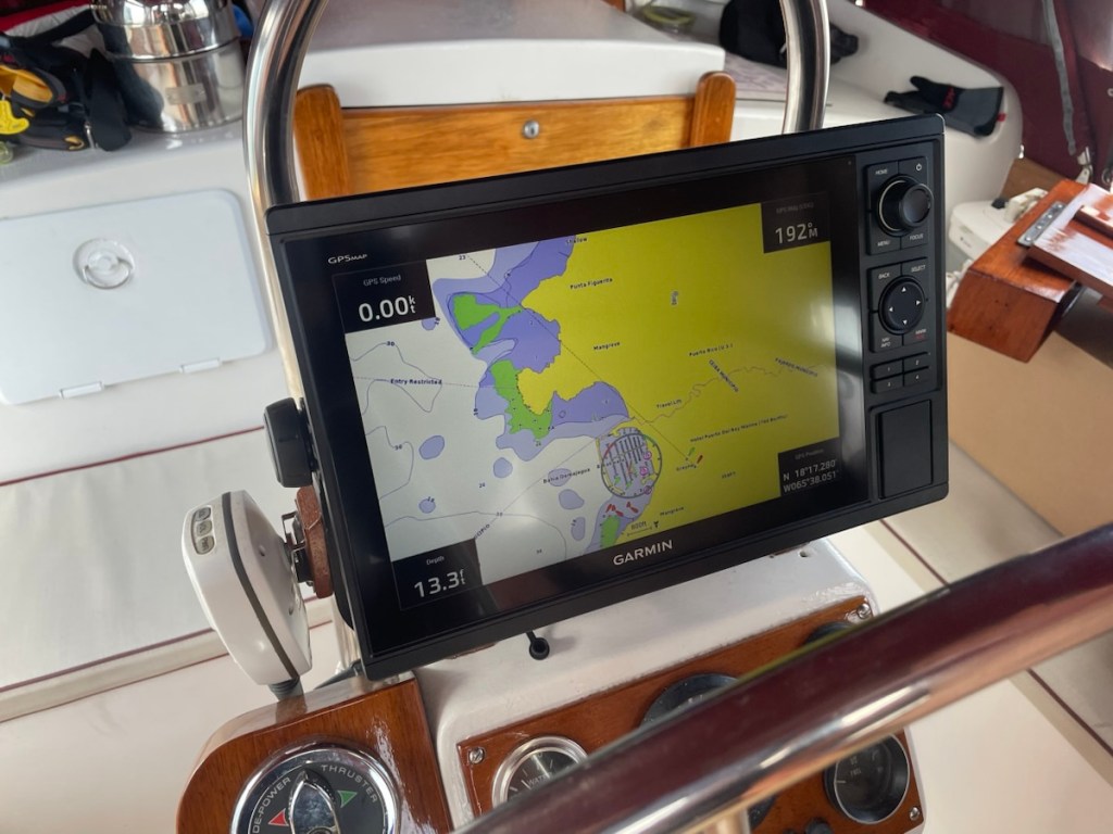
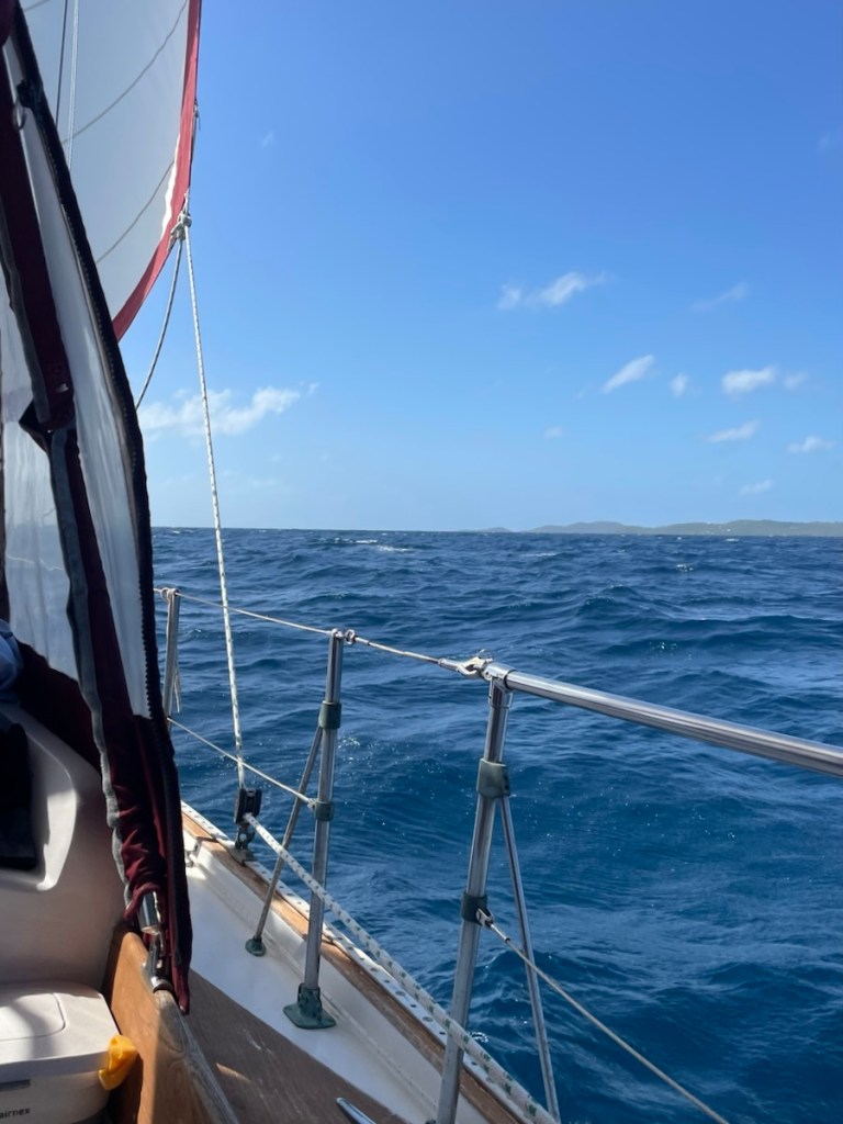
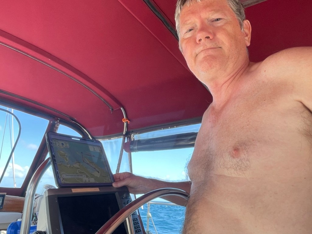
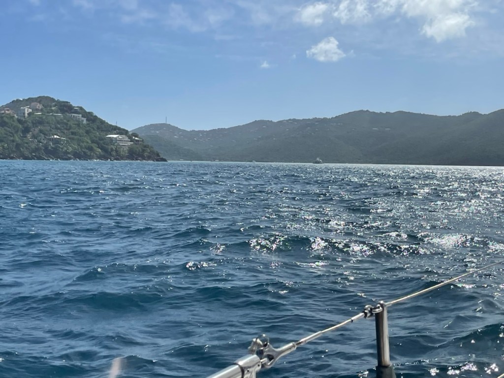
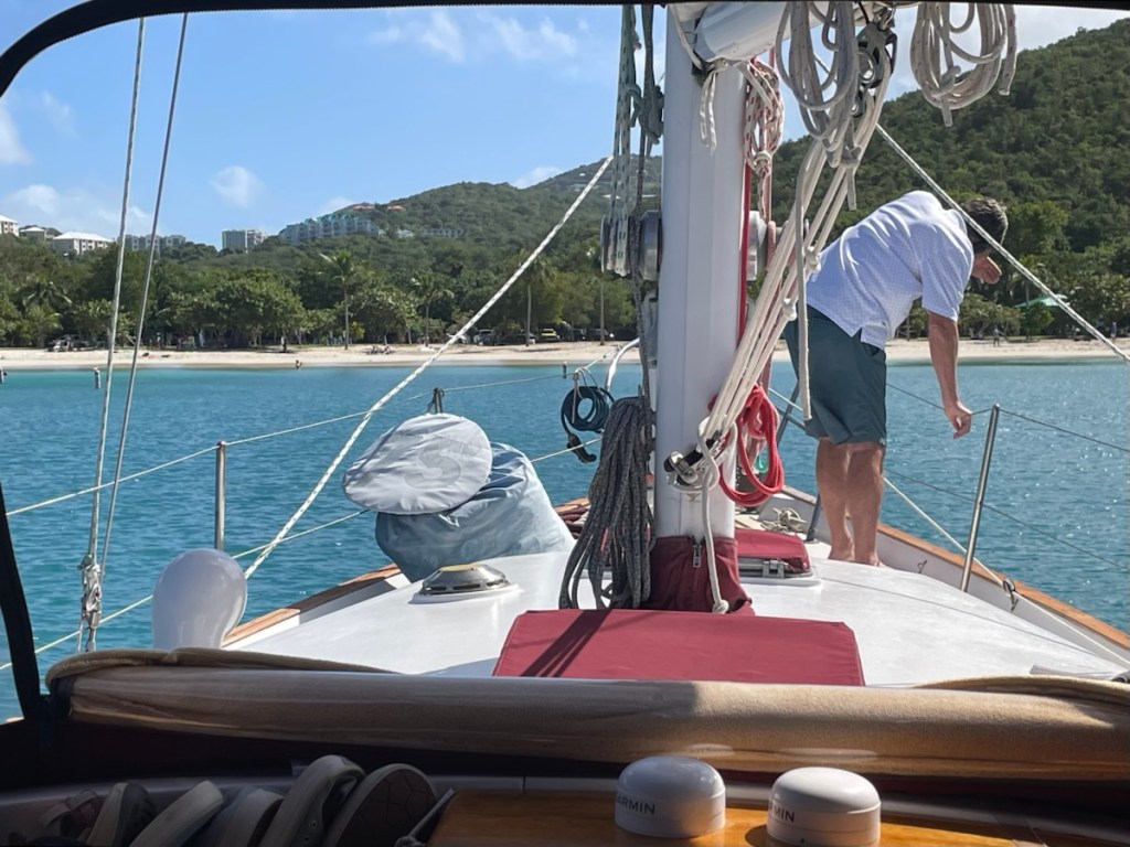
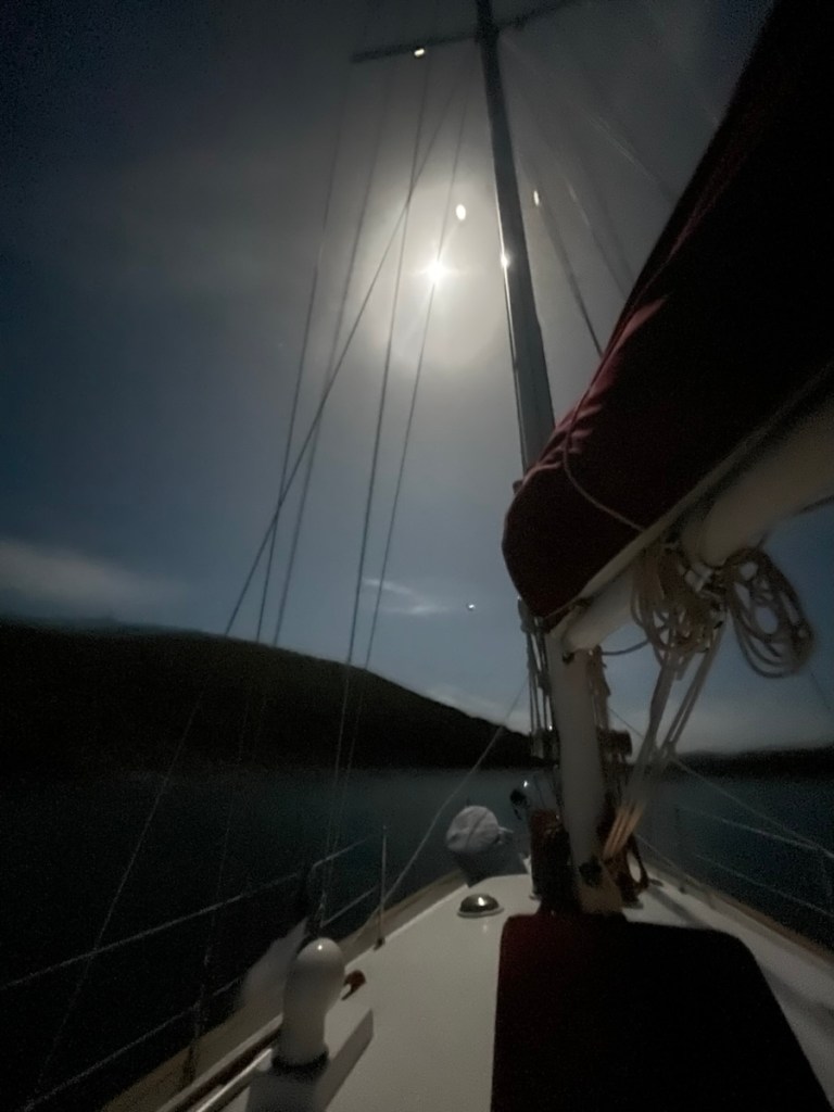
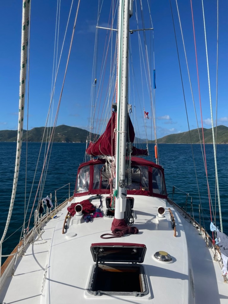
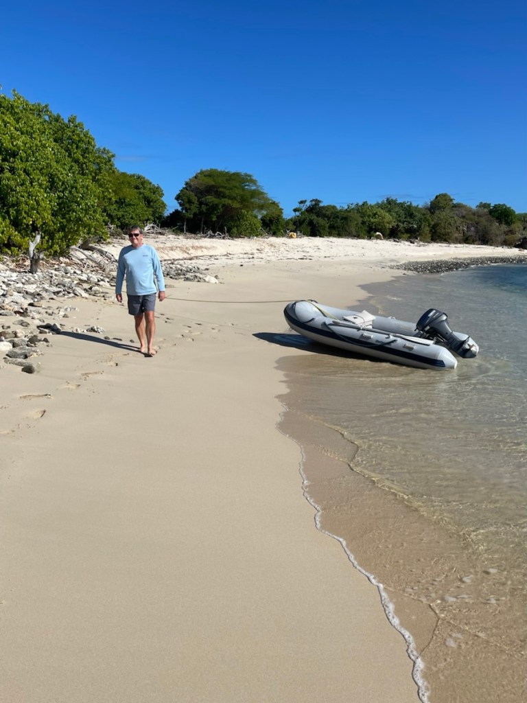
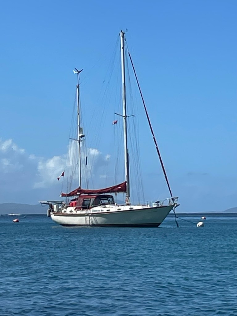
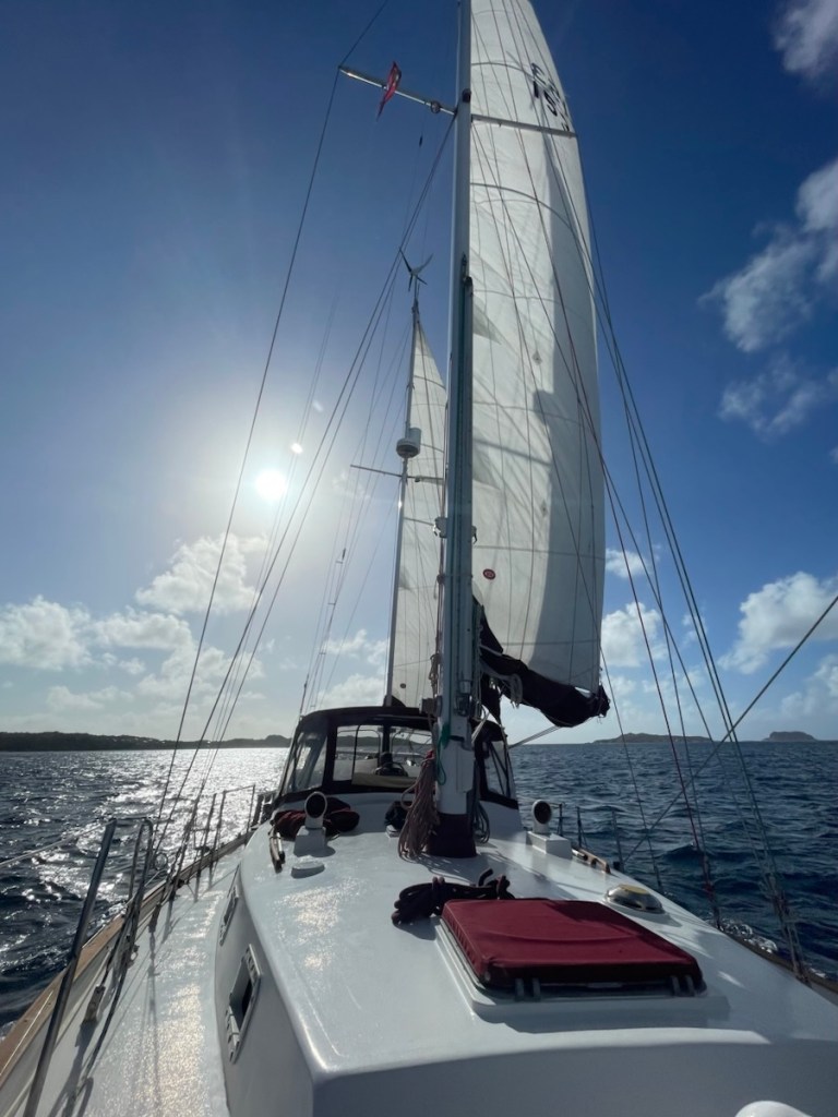
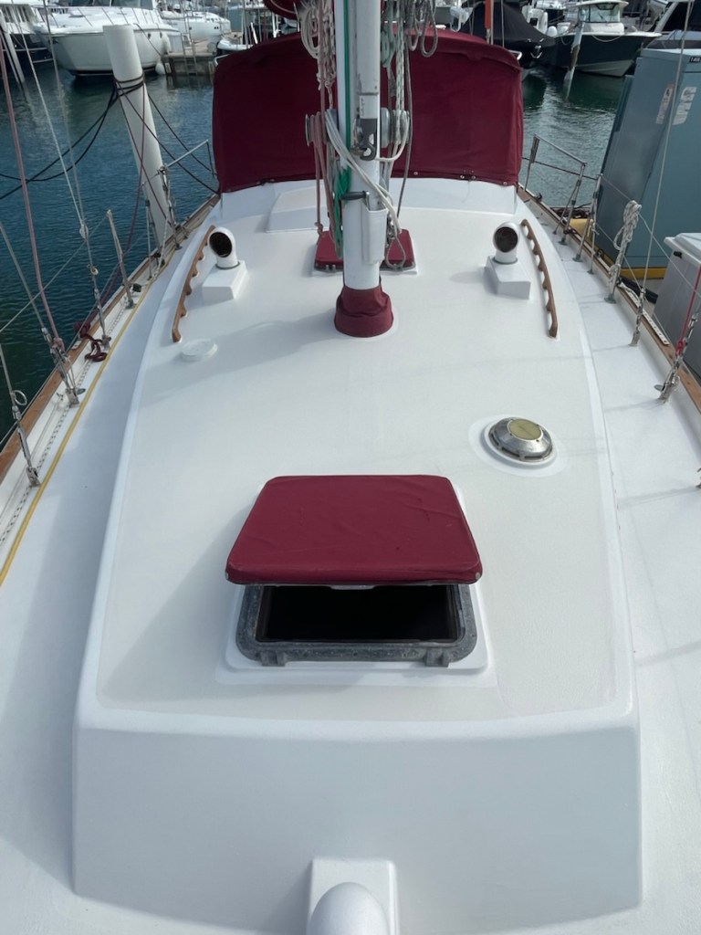
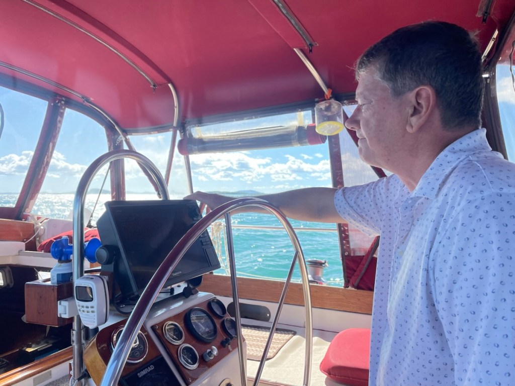
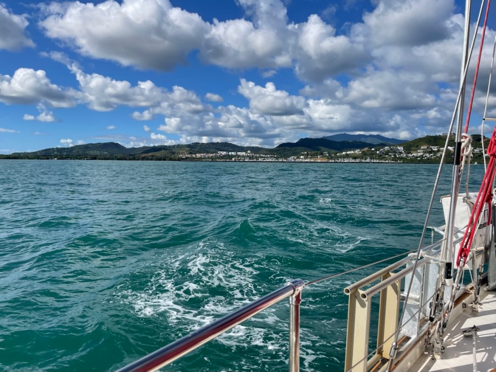
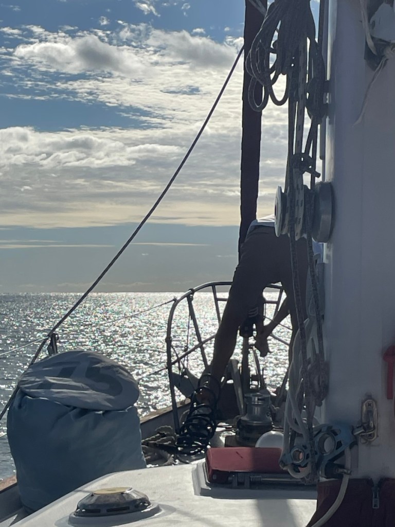
Early Tuesday (Dec. 30th) morning we started getting ready to leave the dock. Our weather window was now Jan. 1 – 2 with low wind and small waves predicted (a big 95nm motor). We were off the dock and on our way to Culebra a little after 10 am. The 22 nm trip was a bit rolly with a stronger south east wind blowing on the bow. This was our first trip was our new chart plotter and oh boy is it nice!! It’s super fast – zooming in and out is a quick turn of a knob. Setting a route is very easy and the display is bright and easy to read. All in all it’s a wonderful replacement! We had our anchor down by 3pm in the same spot we anchored in on our first journey to the BVIs.

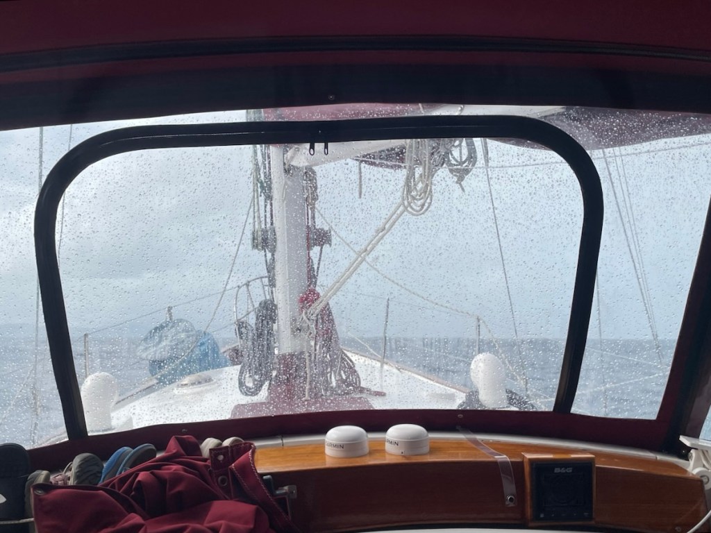
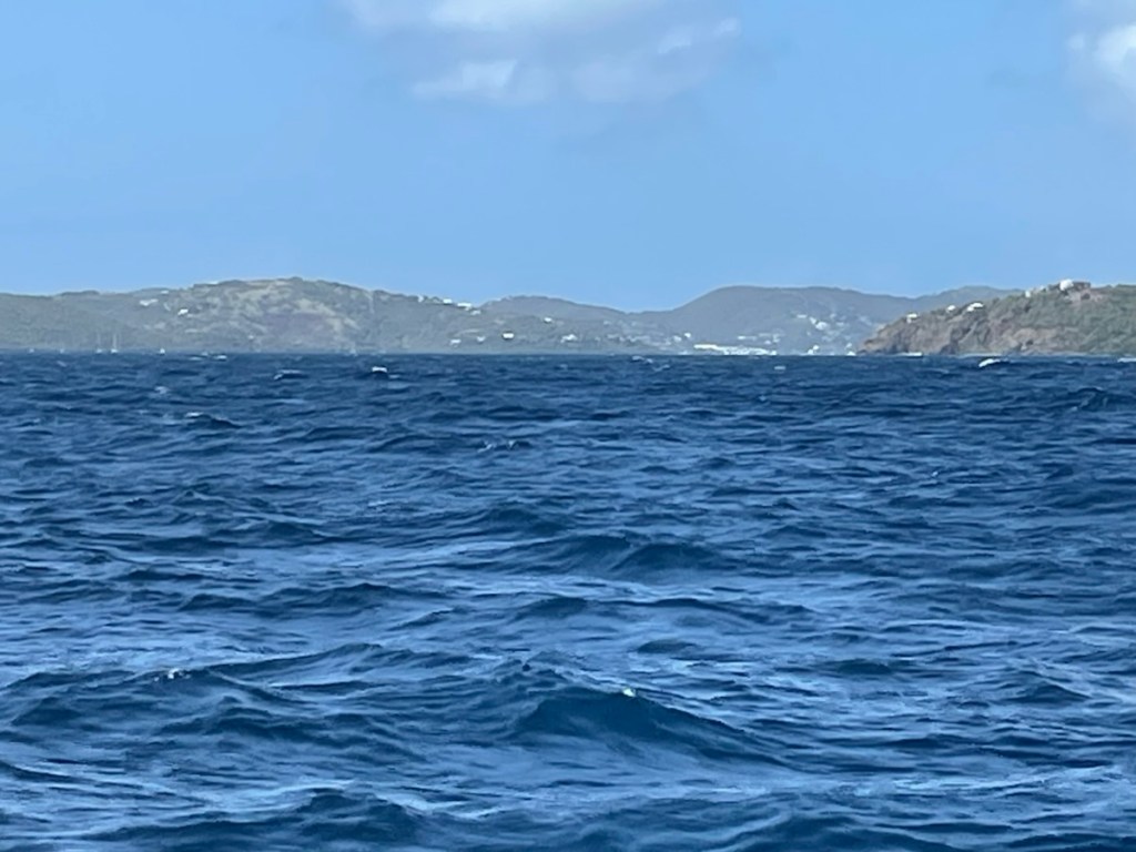
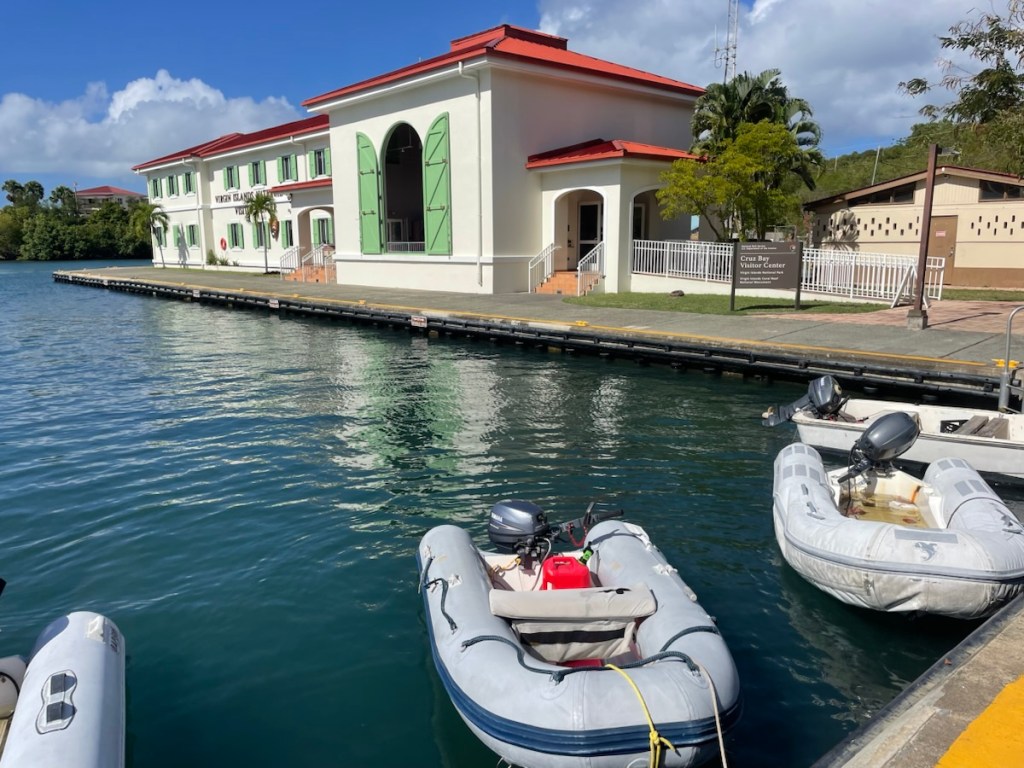
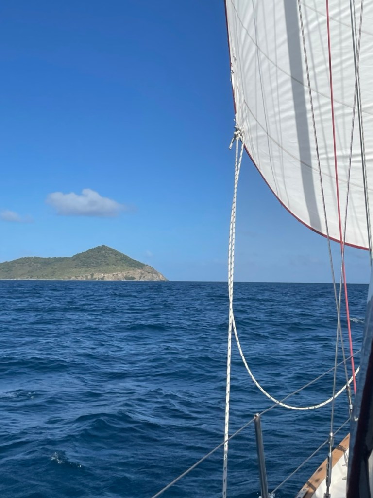
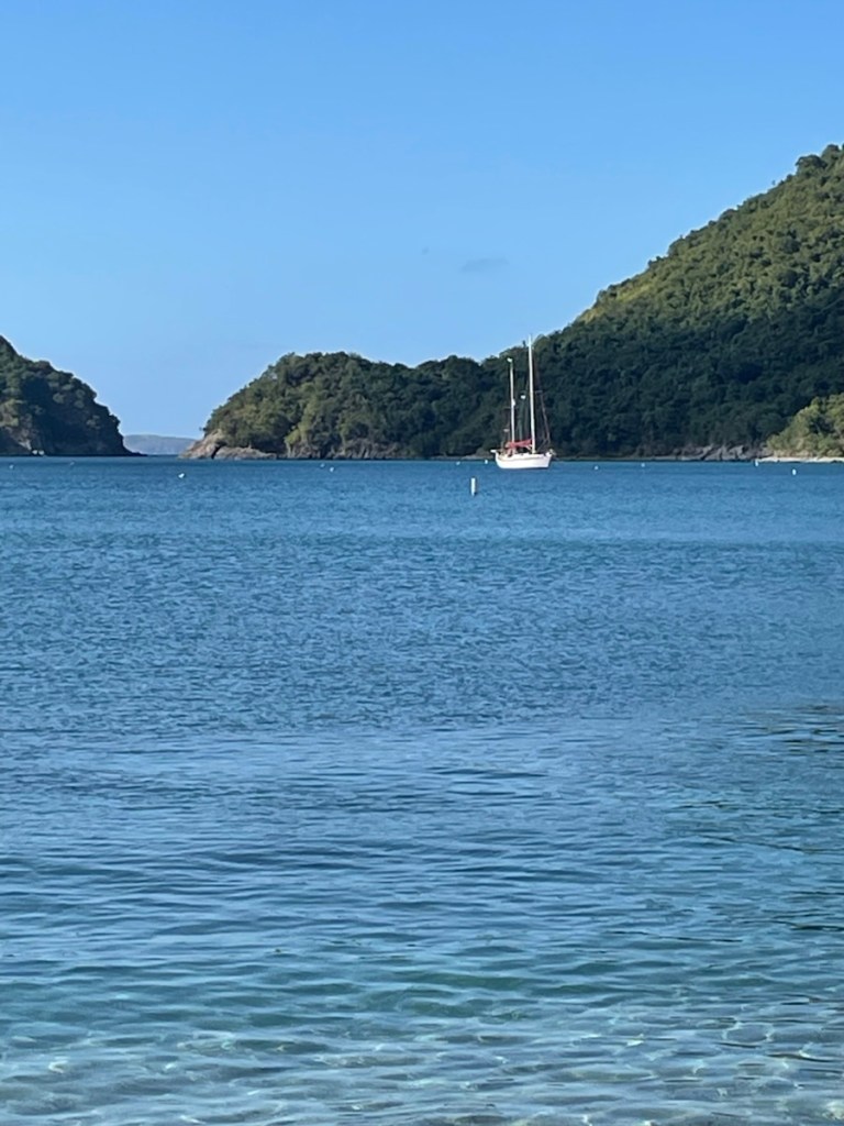
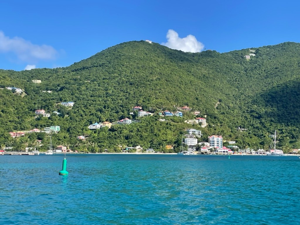
Today (Dec. 31) we left around 9am and motored the 32 nm to Lameshur Bay, St. John (USVI). It was a much nicer trip because the wind was lower and so were the waves. We arrived at our destination around 4 pm and I started the process of clearing into the USVIs using the CBP ROAM app. If you remember my previous posts – clearing into the USA can be a tricky thing and you never know what kind of an answer you’ll get. Last time we went from St. Thomas (USVI) to Culebra (Puerto Rico) we used the ROAM app to report our arrival. After a short video conference with a CBP officer, we were cleared to enter the US. Okay so this time I tried to report our arrival in the USVI from PR but I couldn’t find PR in the list of “last country visited” section so I had to select something else. I figured this would initiate a video call but instead we got a phone call from CBP telling us to report in person at a port (Cruz Bay) about 1 hour west (not good)!! Mark explained our dilemma with the app and this officer told us we didn’t have to clear into the USVIs because we were coming from a US country 😳. By the end of the call we were cleared in and didn’t have to report in person!!

Tonight we rest in Lameshur Bay and tomorrow we’re off to St. Martin!! We’ll be leaving here around noon and making the roughly 95nm passage in about 20 hours. It should be a good motor crossing with nice low wind and waves. We should be anchored and cleared in by about 10 am Jan. 2.
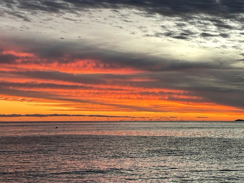
Happy New Year!

Before Christmas Mark painted the top deck with the non-skid paint! Very nice
Plane being de-iced in New Jersey on our way home Dec. 21 (around 8:00 am).
Hello Toronto Dec. 21 around 9:30 am.
New plotter in action (although it looks off).
Bye Puerto Del Rey!
Pulling up anchor Dec. 31 Culebra.
Cayo Botella (near Culebra).

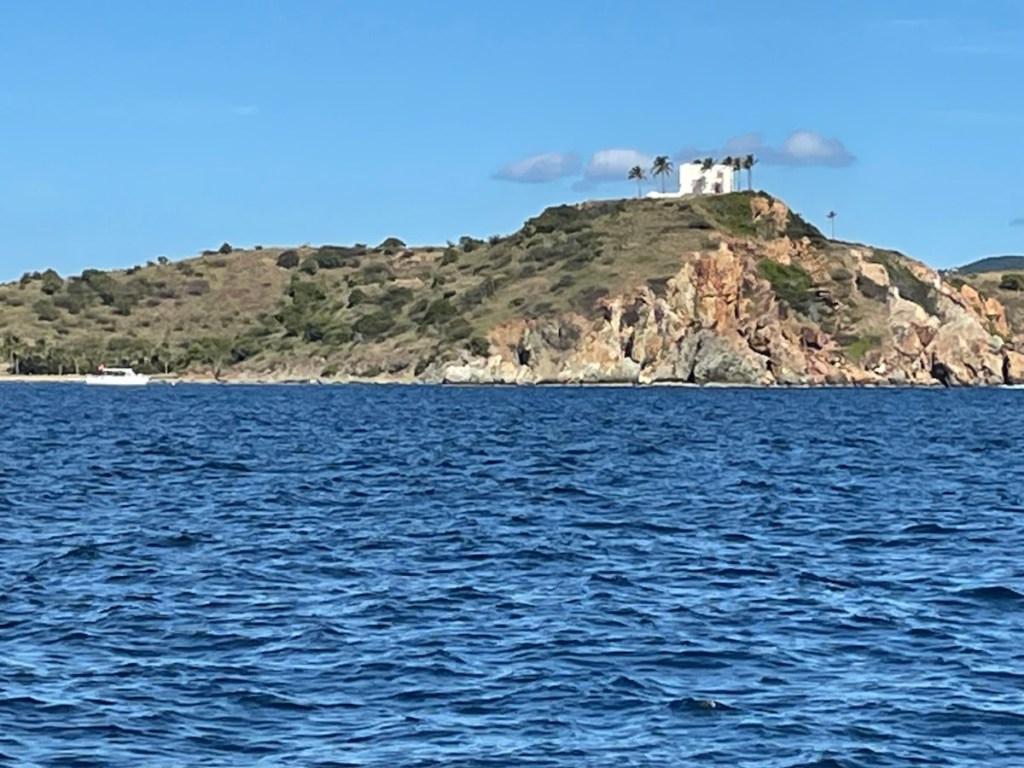
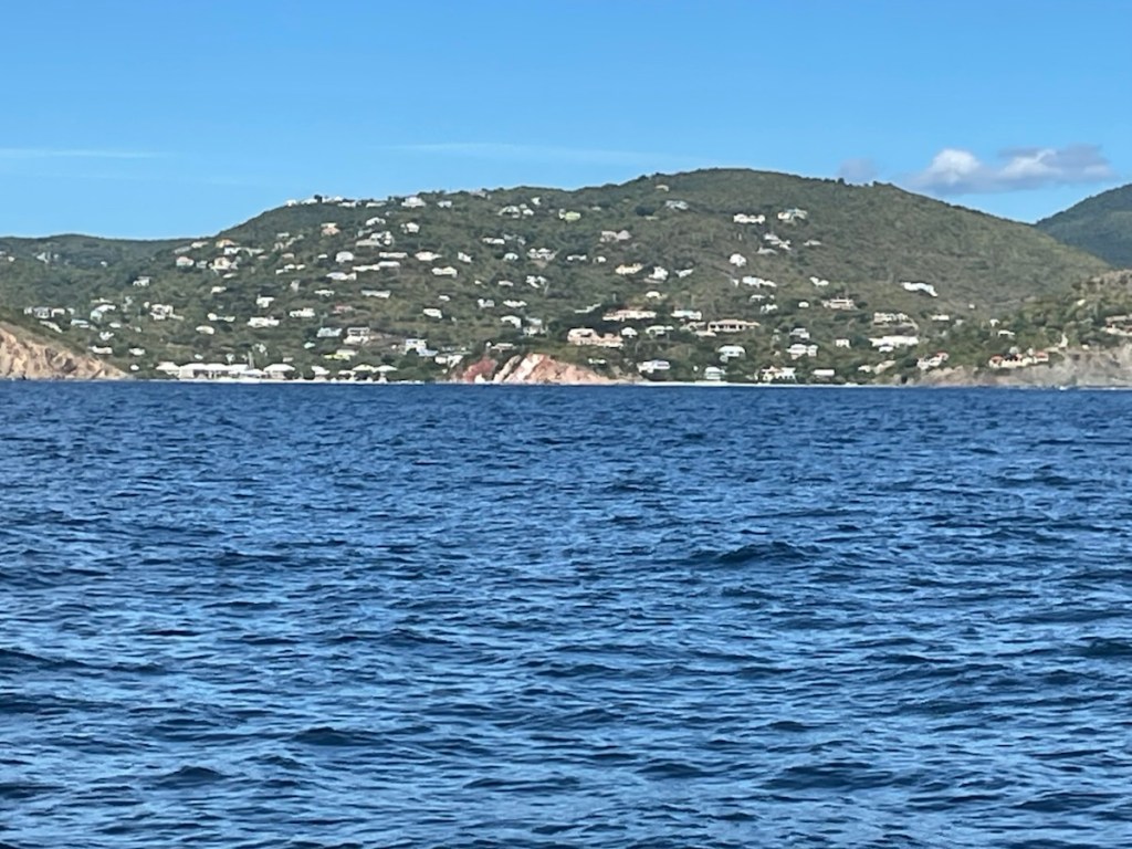
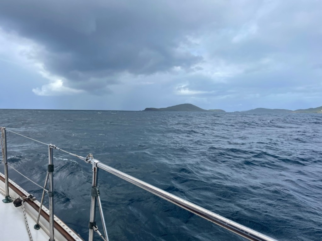
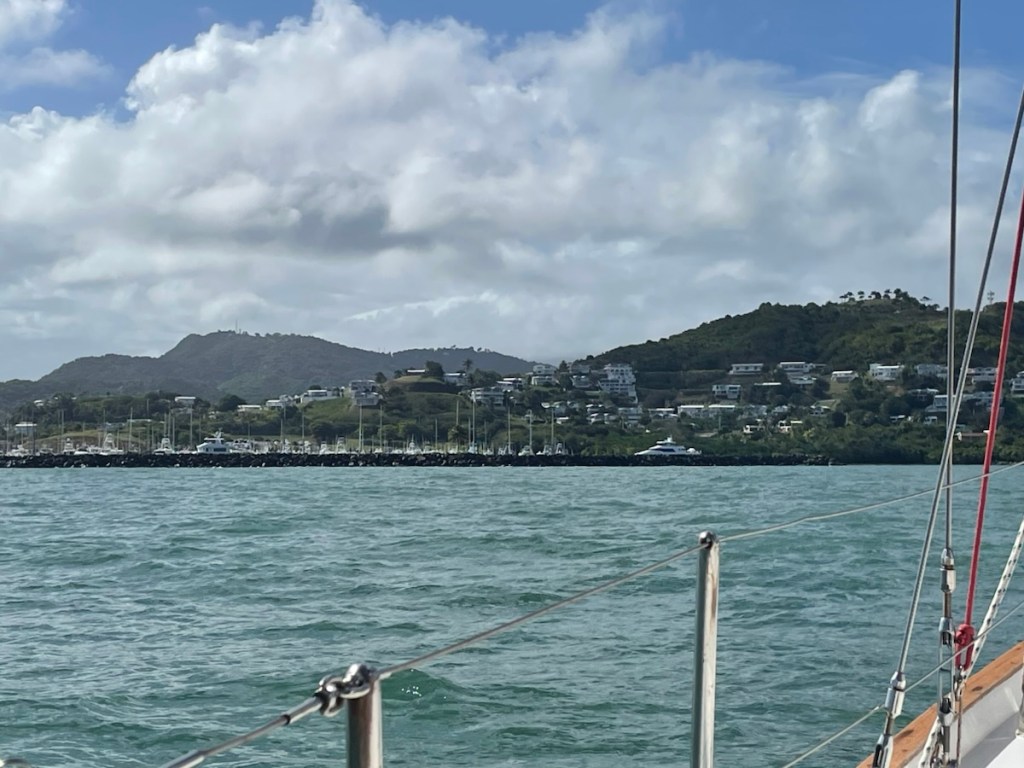
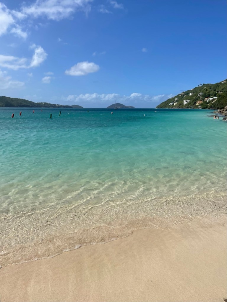
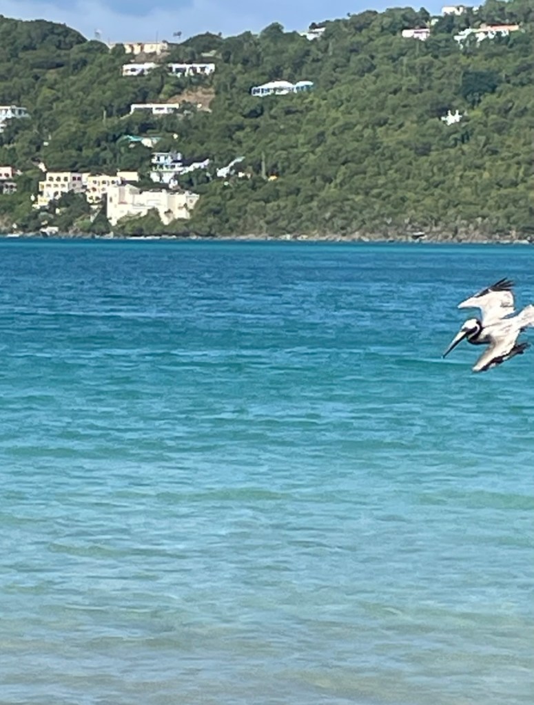
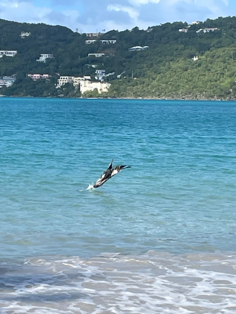
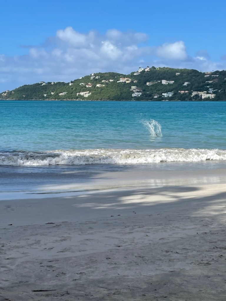
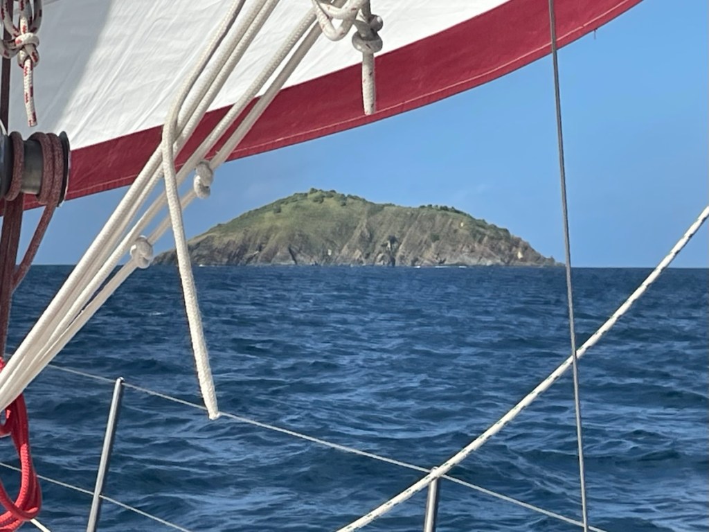
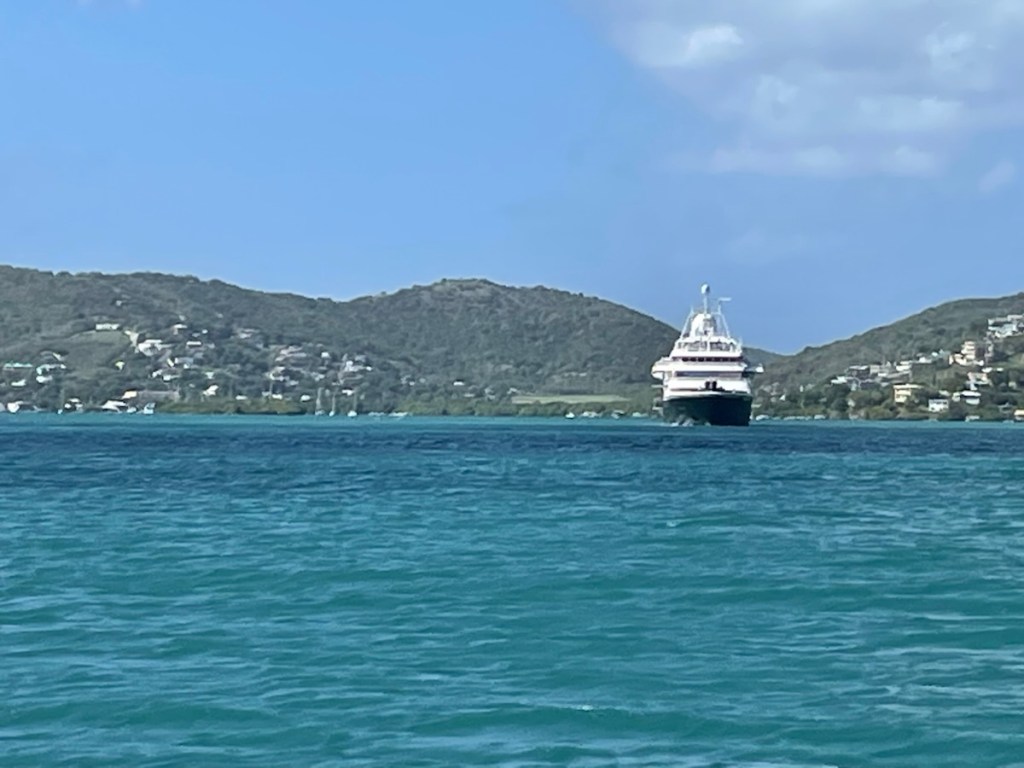
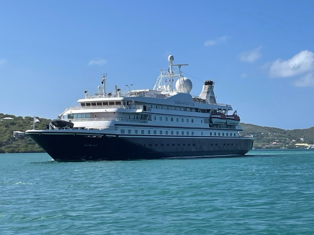
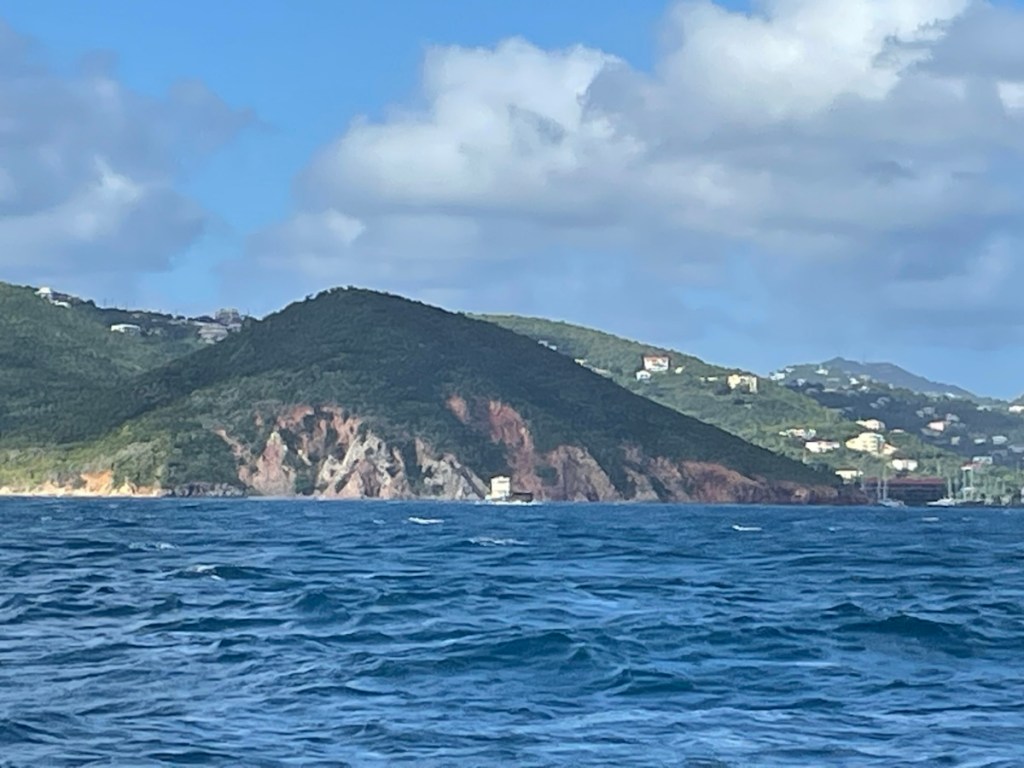
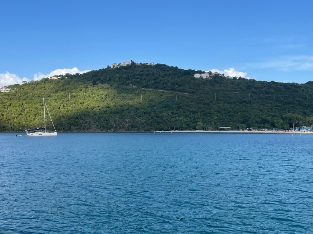
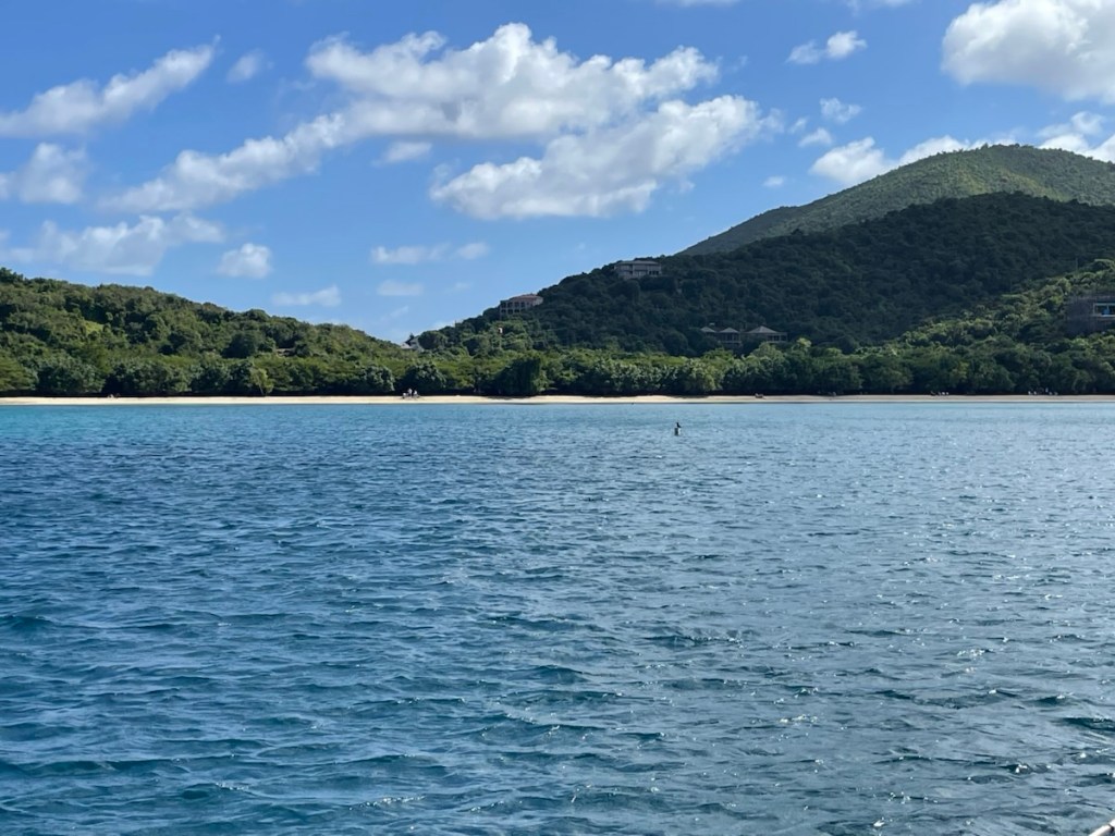
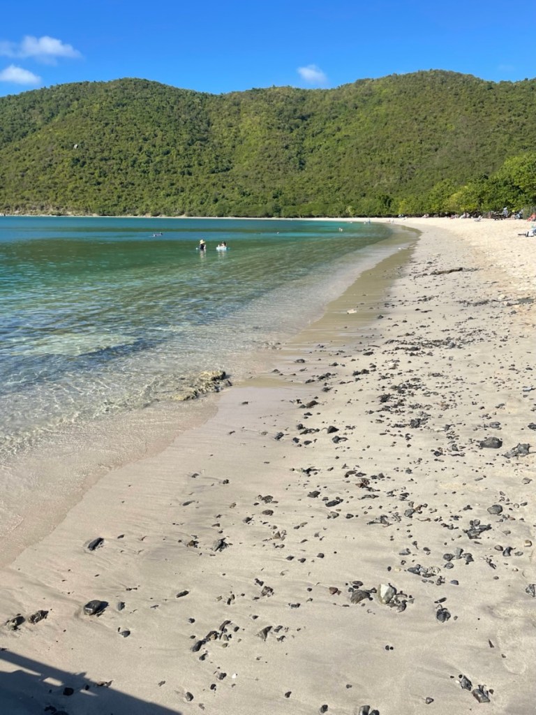
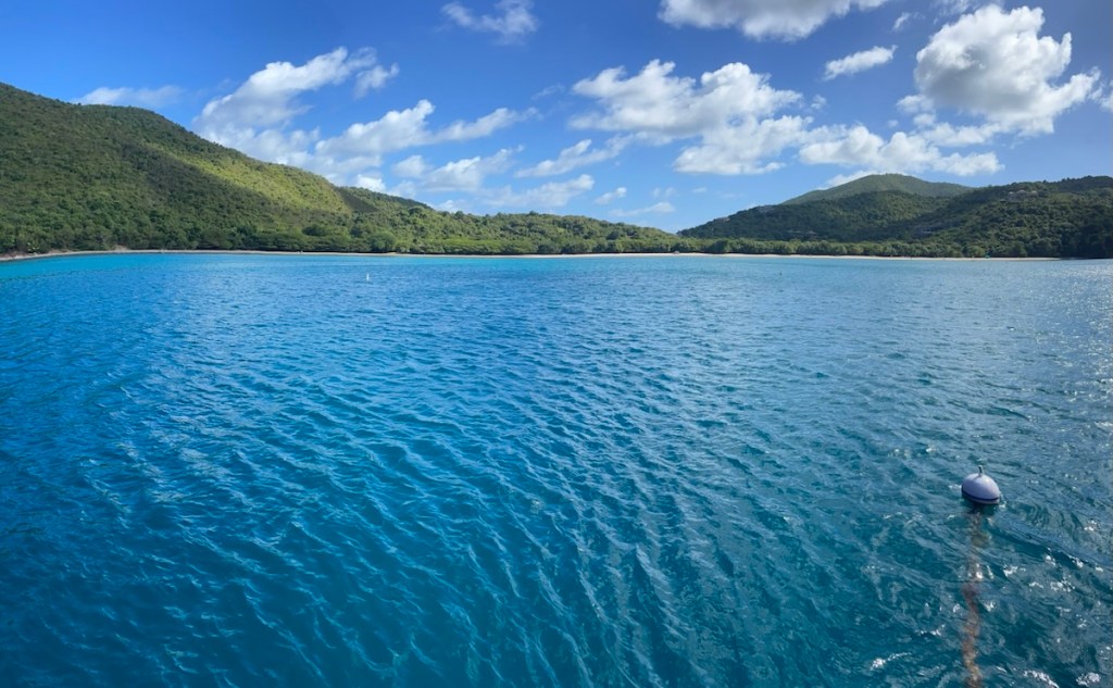
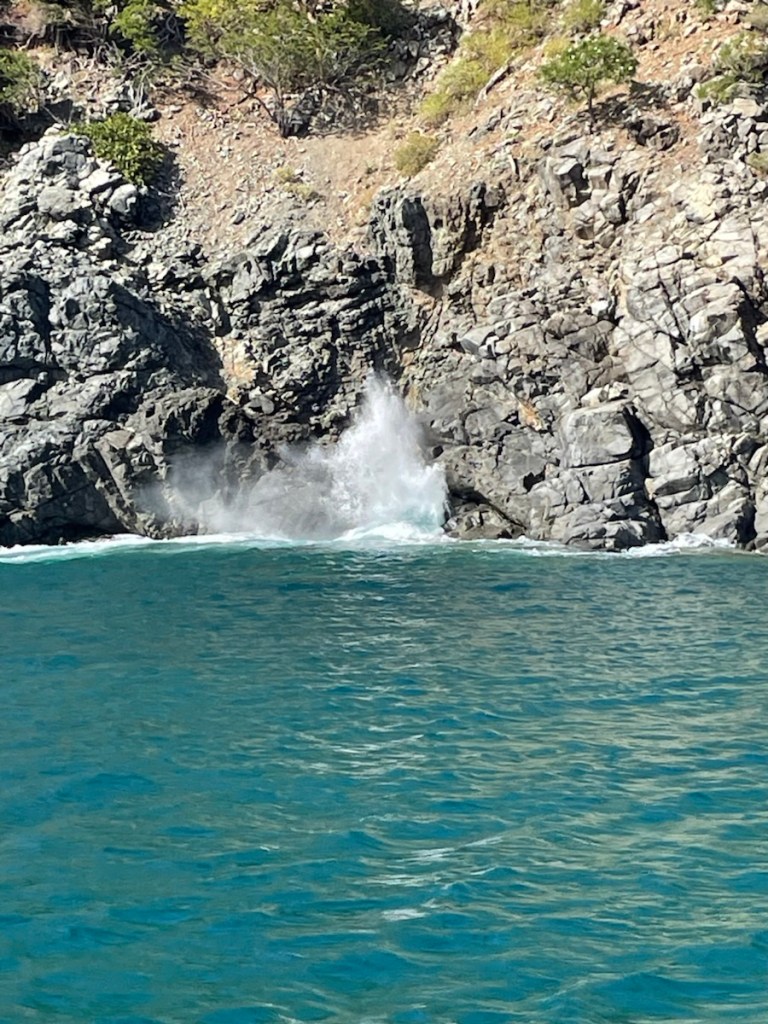
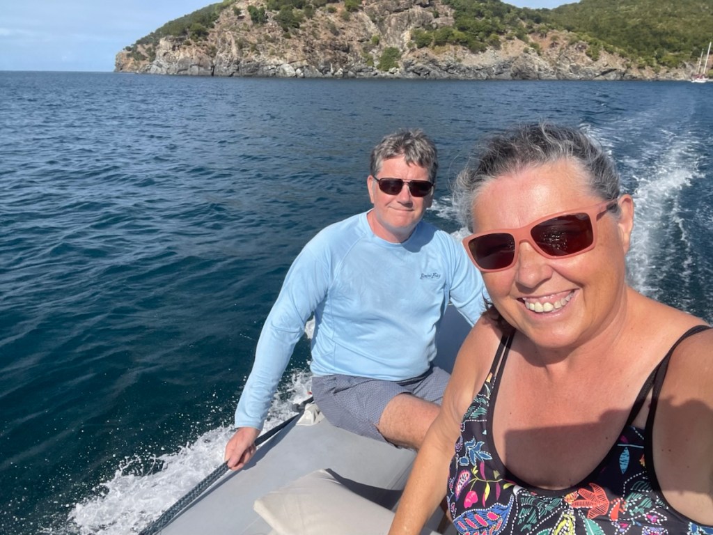
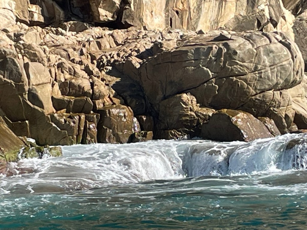
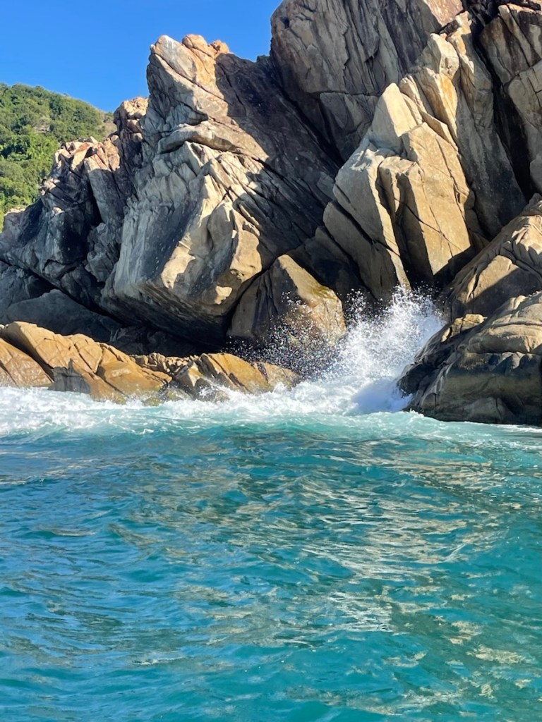
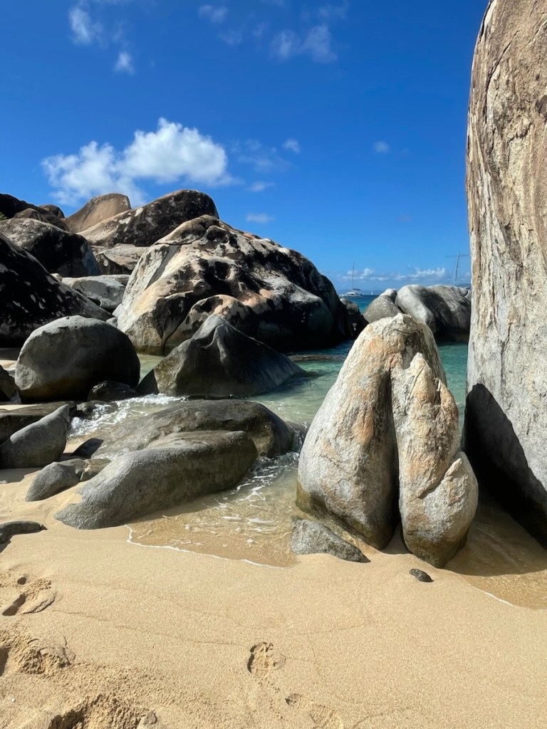
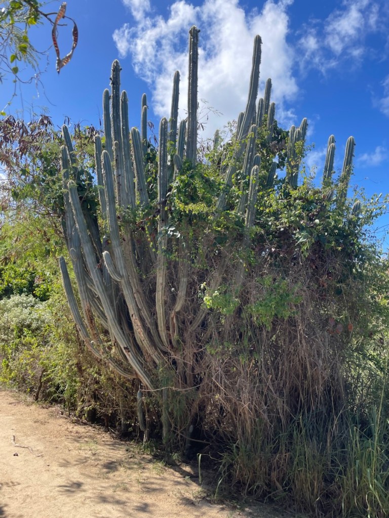
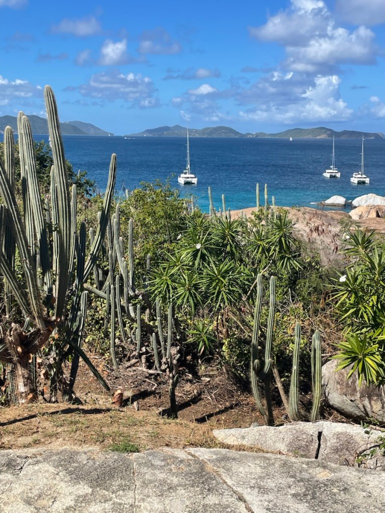
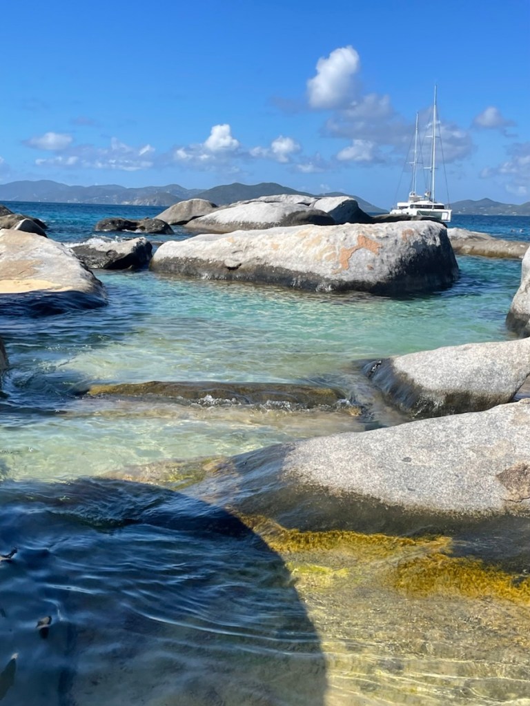
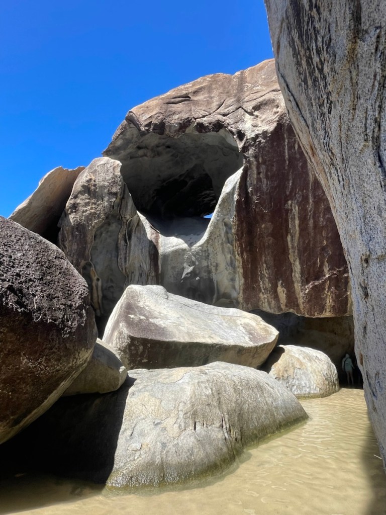
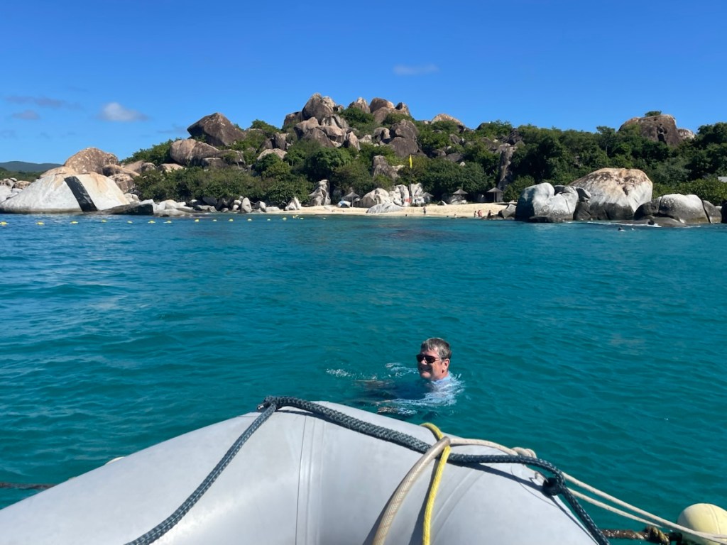
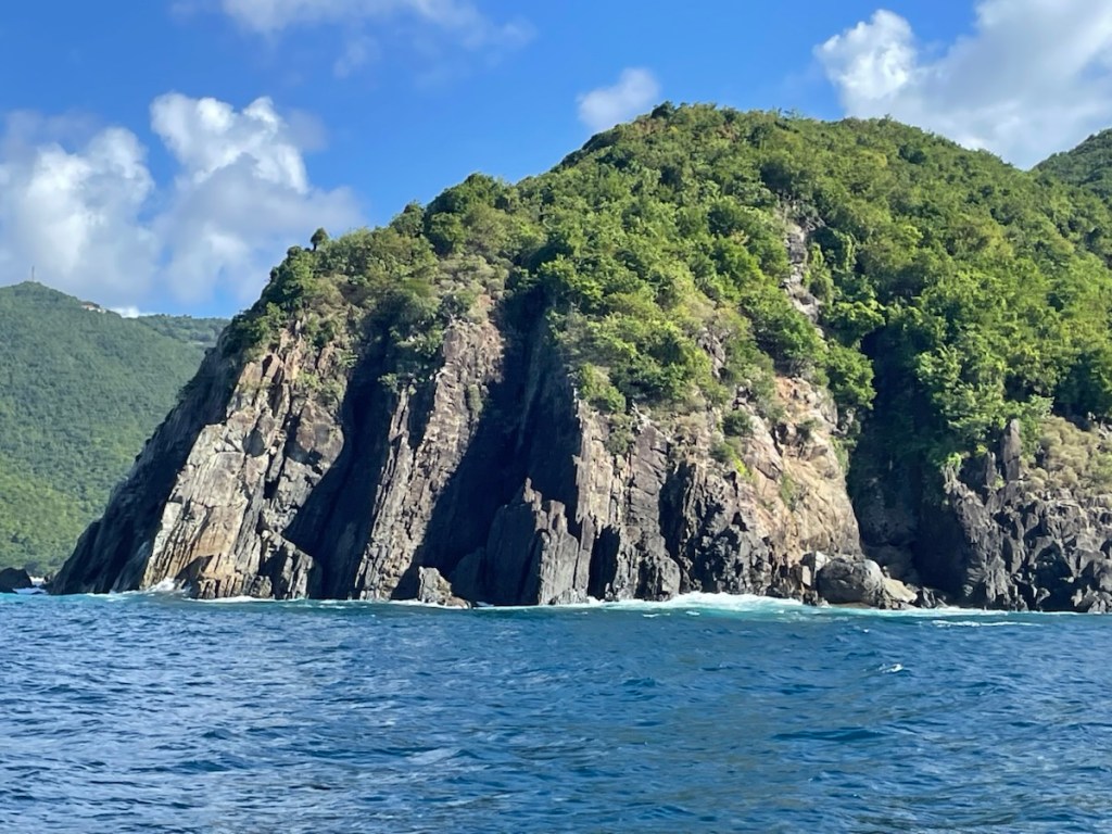
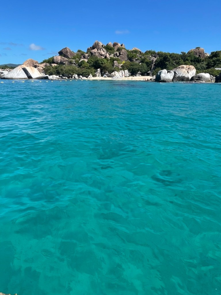
Little St. James Island (near Christmas Cove), St. Thomas.

Southside side of St. John USVI.
Sunset Dec. 31st. Goodbye 2025

Drizzle fest all the way to Fajardo

We had a nice few days resting in Ensenada Honda Culebra. The harbour was very calm and not super busy – although boats did come and go every day. Mark did some jobs on Dec. 15th and I finished a crochet project. My goal for the day was to let my back settled down and I can report that I was successful (back is fine now)! On Tuesday (Dec. 16th) we went to shore to visit Culebra. We’d spent a bit of time here last April with Caroline but it was nice to get out and walk (stretch those back muscles). We had lunch at this bakery that makes really good (and large) sandwiches and wraps. We stopped at the little grocery store for our last few items that should do until we fly home.

We were up nice and early on Wednesday (Dec. 17th) to have breakfast before we had a lovely birthday video chat with Evelyn (Caroline joined too!). The rain had started overnight and really poured down around 6am. We managed to get the anchor up and the sails ready before the rain came down again (this was around 9:30am). The whole morning was a drizzle fest – actually way more rain than just a drizzle!!

Once we were away from Culebra and in deeper water, we put the main sail up and pulled out the jib. The wind, waves, and rain were coming from behind us so it was a slow, rolly passage. We could watch the squalls creep up behind us so were well prepared when they hit. We opened and closed our enclosure many times that morning – zippers got a workout!! A few times the squalls hit with some crazy wind (we saw 25 knots with one) but once the main part of the storm blew over, the wind would die down. We eventually pulled in the jib and started the engine. We motor sailed about half of the 22 nm to the marina. We still made it into our slip at the marina by 3:30pm (after a stop at the fuel dock) and immediately started the air conditioning!! Oh boy what a treat!

On Thursday we had a late start (enjoying the cool interior) before getting to work. We took all our garbage up to the garbage bins and headed to the office. We had to check in, get our security passes and mostly importantly, pick up our new plotter!!! Talk about quick delivery – Mark ordered the new plotter on Dec. 12 and it arrived end of day Dec. 17th and it came from New Jersey plus there was a weekend in there! We returned to the boat with our package and I unpacked it while Mark washed the deck. After lunch I did laundry and Mark went in search of an atm and a few other things. Our last job of the day was to connect the plotter and play with it!! The connecting was a bit of a challenge but once that was done, the rest was great! The charts easily loaded onto the new device and it looked amazing! It will take a bit of time to learn the operation of this plotter but that’s part of the fun!

We only have today and tomorrow here at the marina (Dec. 19 – 20). We’re taking the red-eye flight home on Sunday – 2 am departure and arriving in Toronto at 9:30 am (and it’s not a direct flight – yikes!). We will leave the boat secured at the dock, power off, fridge and freezer emptied. We have a bit of work to do (besides packing) to be ready but have enough time.

This will be my last post until we return after Christmas. I wish you all a wonderful holiday season and a Happy New Year! See you back on the water in 2026!

Mark’s job on Dec. 15th involved climbing into the chain locker. Not much space in there!
CK in the Culebra harbour.
Street that leads to the dinghy dock.
The ferry was just leaving, heading back to PR.
Leaving Culebra Dec. 17
Some pretty crazy squalls.
Not raining on us but look at that sky! Yikes
Back at Puerto Del Rey, Fajardo.
Laundry time.
Look at this beauty!! Garmin chart plotter!
Happy captain! We can navigate with ease again!

Back at Culebra

Our stay at Magen’s Bay was very nice – even though it was quite rolly overnight (not a crankorage but on its way to becoming one!!). Unfortunately after our first night on anchor, my back started acting up (anyone who has had back problems knows that’s not great). I think the nighttime rolls led to me not sleeping well (and in awkward positions so I wouldn’t roll out of bed!) and then my back muscles just said enough is enough – we’re tired and are going to hurt! So Dec. 13th was a pretty low key day for me. Mark was busy – he went around the boat in the dinghy cleaning spots on the hull and he made chili (which I was going to make) for dinner. We did manage to get over to the beach and had a good walk (that certainly helped loosen those back muscles).

We were on the move before 9am this morning (Dec. 14th – happy birthday to my brother Matthew!! 🎉), heading the roughly 24nm to Culebra. My back was okay but still stiff and a bit sore. We pulled up anchor and headed out of the bay and I was very thankful for the wide, deep bay because without the plotter, we are navigating by sight (and with the help of my iPad). It sounds easy – just look where you want to go (how hard can that be), but there are things under the water you can’t see and it’s often difficult to judge distance. You have to look for the light differences – something farther away usually is more muted in colour. Anyhow, we made it out of the bay with no trouble .

It was a good wind day (actually there was a small craft advisory for Puerto Rico to the USVIs – gusty wind to 30 knots and 6ft – 8 ft waves) and we were able to start sailing while still in Magen’s Bay. The hills of St. Thomas did play a bit with wind speed so we had a slow start until we were far enough away from the Island for it to have an impact. Using aquamaps on my IPad, it was easy to navigate the north, west side of St. Thomas and then straight across the Virgin Passage to the main harbour of Culebra. We only saw one other sailboat out today. We didn’t have the gusty wind or the big waves that we were warned about. It was a bit rough at points because the wave (and wind) direction was on our port aft quarter (and sometimes on the beam – 90° to the boat). It was a pretty good sail and we made good time – got into the bay before 2 pm.

The entrance into Ensenada Honda, Culebra is fairly narrow but well marked. We took our sails down (jib and jigger) just before we got to the narrow part and, with our wind meter set to show depth, we easily navigated into the bay. We were just starting to turn up towards the town anchorage when we heard a radio call from some ship – it was leaving Culebra heading to Isle de Vieques (a PR island just south west of Culebra). Sure enough a small cruise ship was heading directly at us! We were both very happy that the ship didn’t depart about 15 minutes earlier. We would have met it right at the narrow spot and that would have been interesting!

We’re now anchored near the town of Culebra and we’ll be here until Wednesday (Dec. 17th) when we’ll hopefully sail the 20 nm to Peurto Del Rey. Time to relax and get my back feeling better!!

Dinghy landing channel on Magen’s Bay.
One view of the beach.
CK anchored near the beach.
We found a little pond at the west end of the beach.
This little guy was hiding in there!
Underway Dec. 14th.
This is Dutchcap Cay, St. Thomas.
Culebra in the distance.
We’re getting closer now.
Here comes the cruise ship!
We got a good look at it as we passed each other.

Christmas Cove to Magen’s Bay (St. Thomas)

There is no better time of year to visit Christmas Cove than now! We left Francis Bay on Dec. 11th and moved down to Cruz Bay (St. John) to do a bit of grocery shopping. We had a nice windy day so we sailed jib only for the less than 5 nm trip down the west side of the island. Shopping was quick and easy in Cruz Bay but definitely not cheap!! Good thing we didn’t need much at this point.

We arrived at our destination for the day – Christmas Cove, around 1pm. This cove is at Great Saint James Island and it’s known for having a calm anchorage, good snorkelling and the best sailboat pizza restaurant!! We definitely had to taste that pizza!! We picked up a free mooring ball and ordered our pizza. We were very close to the boat/restaurant so we could watch people come and go. Mark dinghied over to get our pizza and we had a very yummy (although somewhat expensive) dinner!!

Our original plan was to stay at Christmas Cove for another night but we decided to move on in the morning of Dec. 12. Our wind apps were showing a very windy day on Dec. 13 so better to move when it wasn’t too bad. We were on the move around 9:30 am and heading the whole 6nm to Magen’s Bay – on the north shore of St. Thomas. We had quite a bit of wind (from the east/south east) so we only used the jib. At one point we saw 25 knots of wind and some interesting large waves (which were hitting us on the side – a bit rough). We had a nice sail going when our chart plotter suddenly shut off!! The plotter is our guide – it is a map of the area and shows our course, speed and water depth (plus a few more items). It has shut off before but usually turns back on. This time no luck!! At first it would turn on and almost load the maps before shutting off and in the end, it wouldn’t even turn on!! The plotter is 15 years old so it doesn’t owe us anything but the timing of its demise left a lot to be desired!! It’s a good thing we have backup for everything on this boat – including the plotter. My iPad has an app called aquamaps and it works just like our plotter. So we switched to using my iPad for the chart. What my iPad doesn’t do is depth – but we have a secondary depth sounder with our wind meter so we were good!! We made it into our new destination with only a bit of stress (can’t see the wind direction when the wind meter is showing the depth). We ordered a new Garmin chart plotter which will be delivered to Puerto Rico. An early unplanned Christmas present – the joys of sailing! 😁

So here we are in Magen’s Bay – apparently one of the 10 best beaches in the world. It is a very lovely long bay with hills surrounding it. The beach is very long and by the number of folks on it today – it’s quite popular. We had a lovely swim this afternoon and relaxed in the cockpit. Our plan is to stay here until Sunday and then head to Culebra. Without our plotter we’re trying to minimize the number of anchorages we visit between now and going into the marina. So we’ll stay here, go to Culebra (where we’ve already been) and then go into the marina on Dec. 17th.

Sunset from Francis Bay Dec. 9th
Very rainy day in Francis Bay on Dec. 10
Cruz Bay dinghy dock by the National Park Service offices.
View from the grocery store of the little harbour in Cruz Bay.
Pizza Pi sailboat restaurant in Christmas Cove.
Sailboat wreck right beside us at Christmas Cove.
St. Thomas east shore.
Sailing along with the jib (before the plotter died)
iPad comes to the rescue!
Incredible hills around Magen’s Bay.
Anchoring near the beach in Magen’s Bay.
The north side of the bay.
The main beach area with a bar and other facilities.

Cruising in the USVIs

Our clear out from the BVIs on Dec. 8th went very smoothly. We were able to grab a “first come, first served” mooring ball in Great Harbour (Jost Van Dyke) and it took less than a hour for Mark to dinghy over to the customs and immigrations office, get cleared out, pay our $15, drop off some garbage and get back to the boat. As I mentioned in an earlier post, you can pick up a mooring ball for a few hours for free so we didn’t have to pay for the ball!! We were sailing the 5nm to Francis Bay, St. John (USVI) by around 12:30pm. The whole journey from Lee Bay to Francis Bay (with our stop in Great Harbour) was only 17nm and we sailed the whole way!! It was grand!

We arrived at Francis Bay mid afternoon and found this lovely national park area was quite busy with sailboats on mooring balls and people on the two beaches. Most of St. John Island is part of the US national parks and in an effort to preserve the seabed (coral etc), the park has installed many mooring balls to stop boats from anchoring. The balls are cheaper than the BVIs, only $26/night so we’ll be secured to a mooring ball as long as we’re here. We also had to check into the USA when we arrived. Using our new Starlink for wifi, I submitted our entrance request using the ROAM app. The normal process for entering the USA (as a foreign boat) is to submit a request through the app and ask for a cruising license. The request is processed and then you have an interview – video call usually, and then your request is approved. Well that’s the normal way when entering mainland USA – all bets are off when entering USVI or Puerto Rico. Back to our request – it seemed to take a bit of time to process (maybe 30 minutes or so) but in the end we were approved – no video call and no questions!! We also didn’t have to request a cruising license because USVI and PR accept the boating decal. If you’re confused so are we all! It’s never an easy process and you never know how it’s going to go.

Today, Dec. 9th, we ran the water maker in the morning and Mark did 1 boat job. He installed a 12v usb charging station in our cockpit cubby so we can charge our communications headsets. In the afternoon we dinghied to the beach, had a nice walk and did a bit of snorkelling. It’s very quiet here today – many boats left and the beaches were not as busy, probably because we had quite the rain storm overnight and most of the morning. 

We’ll be exploring this side of the island (north and west) for a few days. There are some walking trails close by and a few ruins that are supposed to be interesting. We’ll check those out and also just relax in this lovely, calm anchorage!

CK in Francis Bay.
Got our Christmas lights out!
Different mooring pennant set-up here. It’s attached underneath the ball somehow.
View of the beach from our boat.
The closest beach to us.
Panoramic shot from the bow.

The perfect anchorage

The search can stop!!! We’ve found the perfect anchorage in the BVIs!! I hesitate to give you this information but I trust none of you will share this with cruisers headed this way 😉😁. We’re currently anchored in Lee Bay, Great Camanoe Island and it’s the absolute perfect spot for us! When we arrived here on Dec. 4th, we were the second boat here and then that boat left. Within an hour or so 2 boats had joined us. One of those boats we had met just the day before at the Baths.

Our first trip to the Baths on Dec. 3rd was done by dinghy. We thought we could go to a beach, leave the dinghy and check things out. As we approached, we discovered things were a bit more complicated so we went in search of some help. There was a couple sitting in their cockpit close to the Baths (on a mooring ball). Their boat looked like a Whitby (ketch) so we stopped for information. Turned out the boat (named Passage) was an Allied Princess 39 (ft) 1970s vintage and the couple, Marina and Hayden, were from Maui, Hawaii. Marina (the captain) was born in the BVIs but travelled all around the world first with her parents and then with her first husband. We had a nice little chat with them before returning to Crimson Kathyrn and moving the boat closer to the Baths. Fast forward to our perfect anchorage where Passage joined us. Mark and I had a great swim in the afternoon and Mark went snorkelling with Hayden. We invited Marina and Hayden over for happy hour and had a great visit (until 8 pm) with them. In the morning (Dec. 5th) we waved goodbye to Passage.

We have had a few days to enjoy this mostly secluded anchorage. There is no roll and because the land is low in front of us, we have a constant breeze keeping us very stable! Each day boats leave and new ones join. Friday night was definitely the craziest with 8 boats anchored here and 2 of them (chartered catamarans) rafted up together and had a party. Fortunately they didn’t keep the noise up for long and they were pretty far from us!! We’ve swam and snorkelled and today we went for a dinghy ride (plus more snorkelling).

It’s been so nice here that we’ve even managed to get a few boat jobs done!! The individual chairs in our main cabin were in need of new cushions so Mark and I took them apart and put the new foam in (for both chairs). Today we replaced the hatch we had installed in our cockpit last season. The not even one year old cockpit hatch broke at the end of last season so hopefully this new one will last longer. It’s slightly larger so some skill saw work was required to cut the hole larger. It was a bit of a messy job but only took a few hours!

In the morning (Dec. 8th) we’ll pull up anchor and make our way over to Great Harbour on Jost Van Dyke. Mark will go back to Customs and Immigration to clear out of the BVIs. After that we’ll make the 5 nm jump to St. John Island, USVI and clear in with the ROAM app. Slowly making our way back to Puerto Rico.

Full moon on Dec. 4th.
This cave near us makes all kind of noise as the water pushes into it.
Cockpit hatch replacement.
CK in our anchorage.
Dinghy ride today (Dec. 7th).
We found a nice beach nearby.
Boulders at the end of the beach.
View to the east.
BVIs’ airport.
The ocean surge hits the rocks near our anchorage and makes some impressive splashes.
Can’t get enough of those splashes.
Our anchorage from a distance. We’re the far left.
CK in the late afternoon sun (Dec. 7th).

The Baths!!

“The Baths in Virgin Gorda are a famous natural attraction in the British Virgin Islands, known for their massive granite boulders that form a maze of grottoes, tunnels, and sea pools.” Thanks Google AI for this great description!

Main beach view of boulders.
Up we go – easy trail!
Little crab on the trail.
I’ll catch up!
Large cacti along the trail.
View from the top.
Heading into the caves.
One of the many little windows in the rocks.
Rocks make some interesting pools.
Huge boulders
Going inside now.
Amazing trail through the caves.
Water is about knee deep.
Back at the dinghy after our return swim!

Virgin Gorda and the Baths

Okay so I had partly written this post in my head last night but after the most amazing downwind sail this morning (Dec. 4th), I have to adjust my tone (a bit). We’ve now been in the BVIs for 2.5 weeks and have seen beautiful scenery. Unfortunately the overcrowded anchorages full of mooring balls (that aren’t cheap) plus the on and off rain has kind of soured the place. And let’s not forget the crankorages we’ve had to endure!! I came up with this new sailing term to describe anchorages that are rolly and uncomfortable – they make you cranky!!

But yesterday we spent the morning exploring the baths on Virgin Gorda. What an experience!! First we moved CK from the anchorage near Spanish Town closer to the south end of Virgin Gorda near the Baths. This is the first time we’ve ever had to swim to reach our destination. We took the dinghy  to the designated tie up area (basically a rope line marking the end of the swimming area. From that point, we swam to shore – for me it was a one armed swim because I had to keep my phone out of the water (it does have a waterproof case but who wants to take a chance!). From the beach we took a really nicely maintained trail up to the top of the Baths and then back down to get to a second beach. The trail then led to the caves – this was the spectacular part!!! The Baths is made up of 3 beaches and these large boulders that make some super impressive caves. The path through the boulders was fun – over and under rocks plus walking through water pools! We climbed up and down steps and used a rope line to descend a little bit steep rock slope. The whole Baths walk took us about an hour (and cost $6) and it was worth every penny! Certainly redeemed the BVIs for both of us!

Today’s morning sail was awesome. We left Virgin Gorda around 9am and quickly put up all 3 sails. The wind was on our aft starboard quarter (behind us near the stern on the right side) and we had a nice smooth ride. We managed to sail the 6nm to our new anchorage in Lee Bay off of Great Camanoe Island. So far we’ve found a good spot – no roll and only 1 other sailboat (definitely not a crankorage). We’ll probably stay here for a day or so. We’re now on our way back to Puerto Rico with some stops in the USVIs. We have until Dec. 17th to get back to the marina (Puerto Del Rey) – lots of time!!

(PS – I have so many amazing photos of the Baths that I will do a second post with just those photos!!)

Doing laundry at Cane Garden Bay
We had lunch out there! It’s quite touristy with hotels, resorts and a nice beach.
The east side of Cane Garden Bay where the beach is not part of the tourist scene.
CK tied to a mooring ball at Cane Garden Bay. You can grab a mooring ball for free if you’re only staying a few hours.
Leaving Cane Garden. It was very busy so we decided not to stay.
Amazing cliffs north side of Tortola.
We had a rainbow over Virgin Gorda near Spanish Town.
The swim to the Baths main beach
We made it to shore! Time to explore (more photos in the next post!)
Funky building in Spanish Town.
Time to sail!