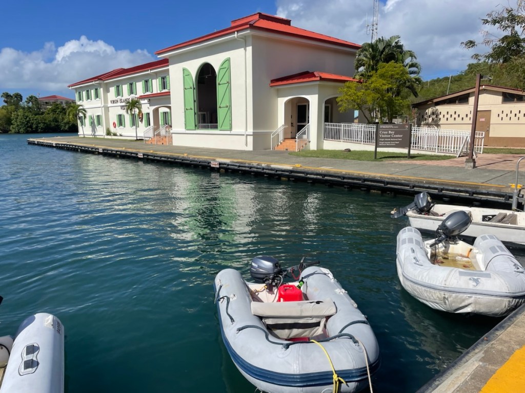
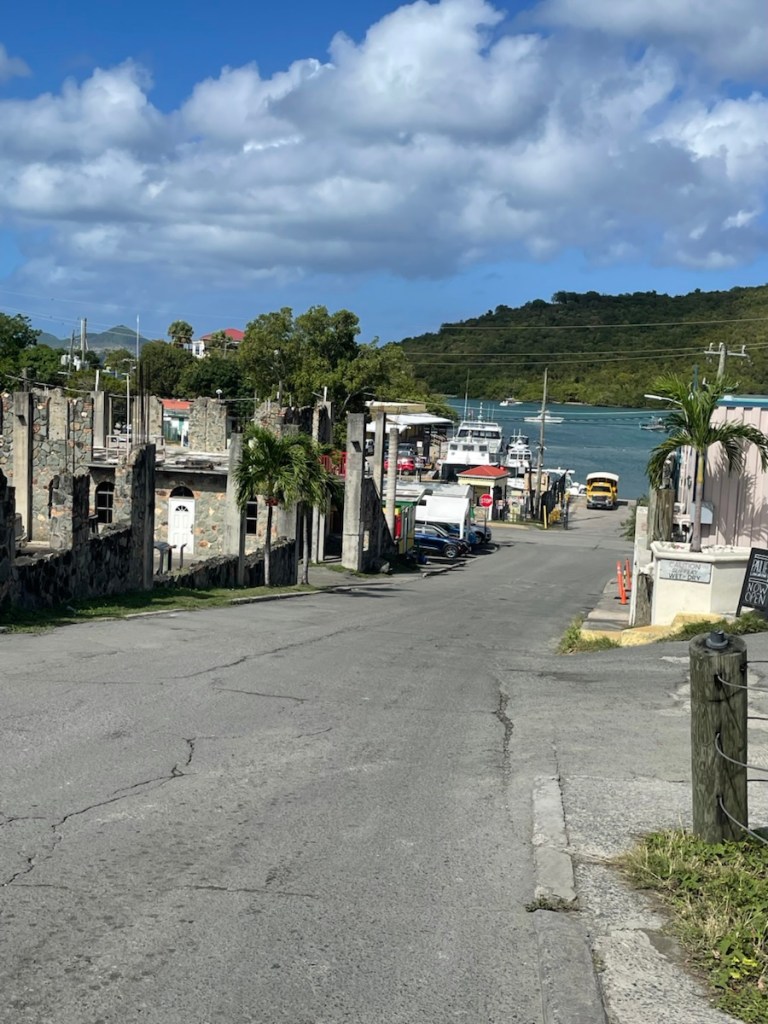
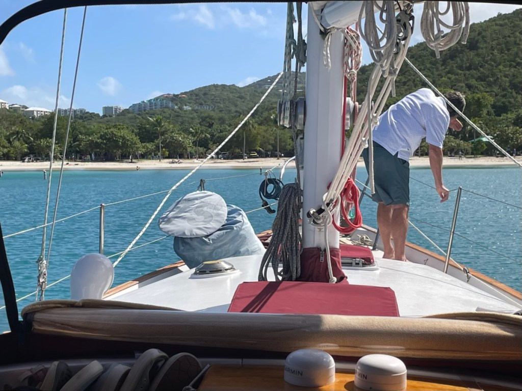
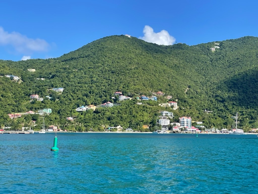
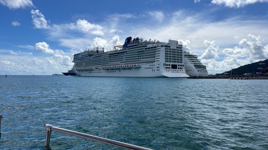
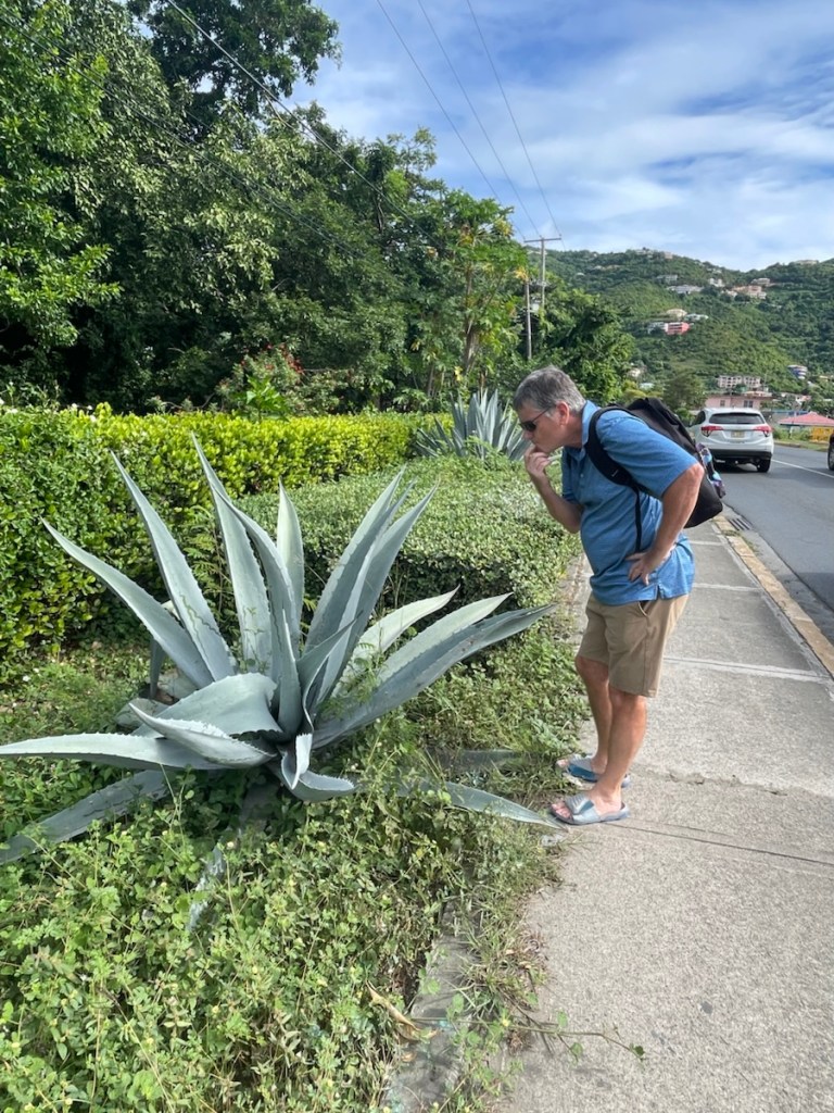
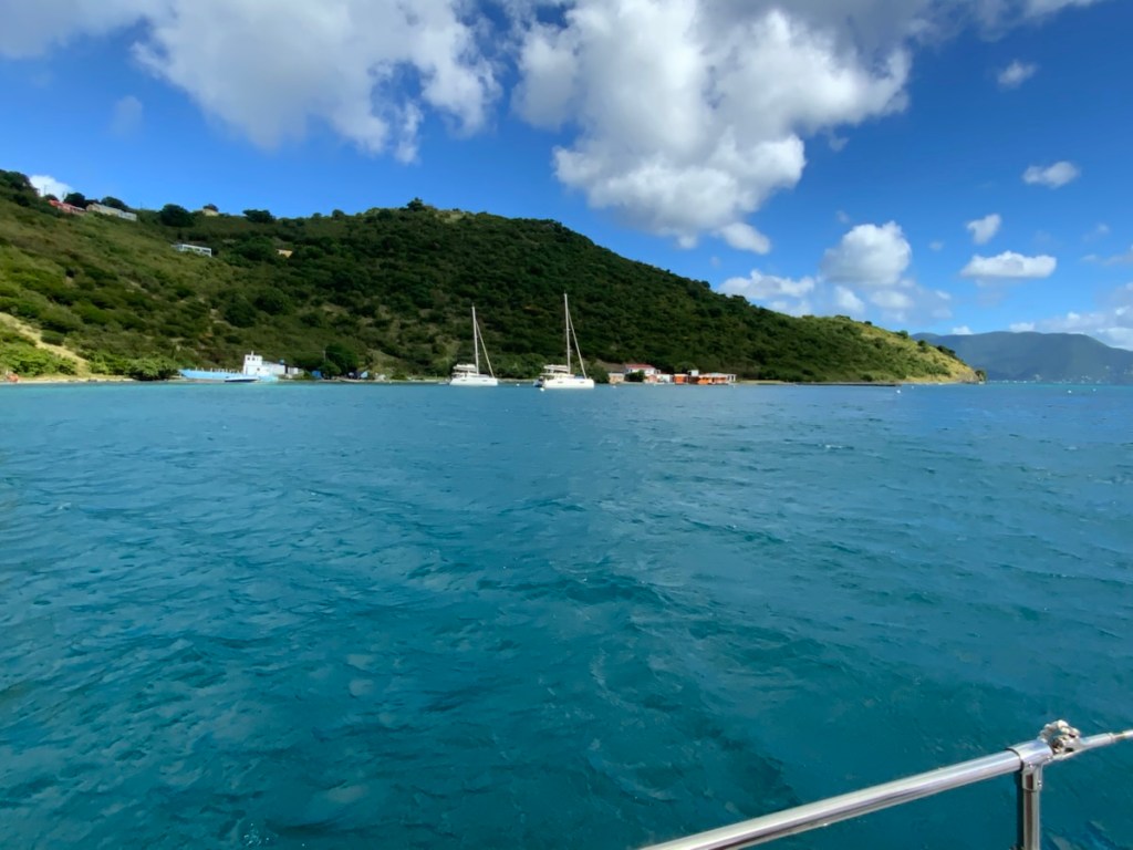
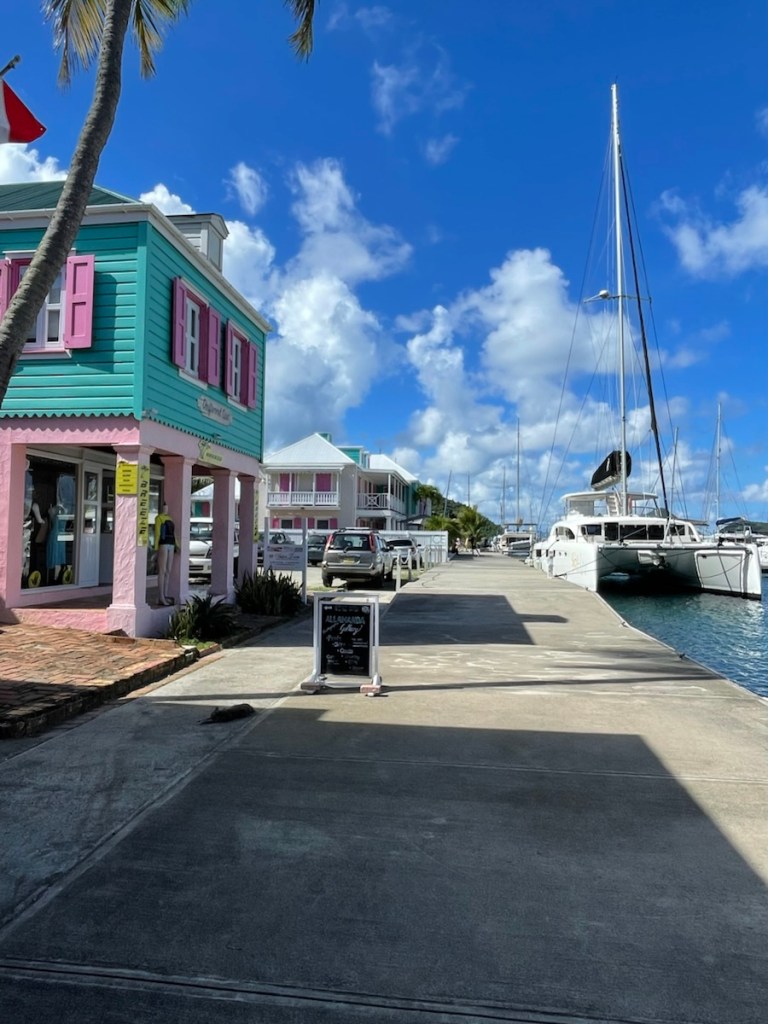
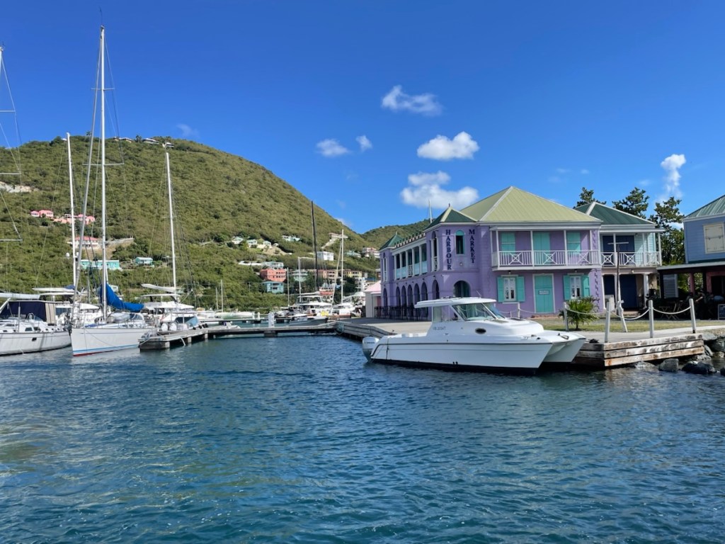
There is no better time of year to visit Christmas Cove than now! We left Francis Bay on Dec. 11th and moved down to Cruz Bay (St. John) to do a bit of grocery shopping. We had a nice windy day so we sailed jib only for the less than 5 nm trip down the west side of the island. Shopping was quick and easy in Cruz Bay but definitely not cheap!! Good thing we didn’t need much at this point.
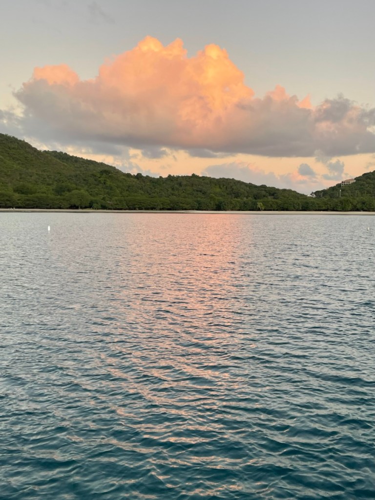
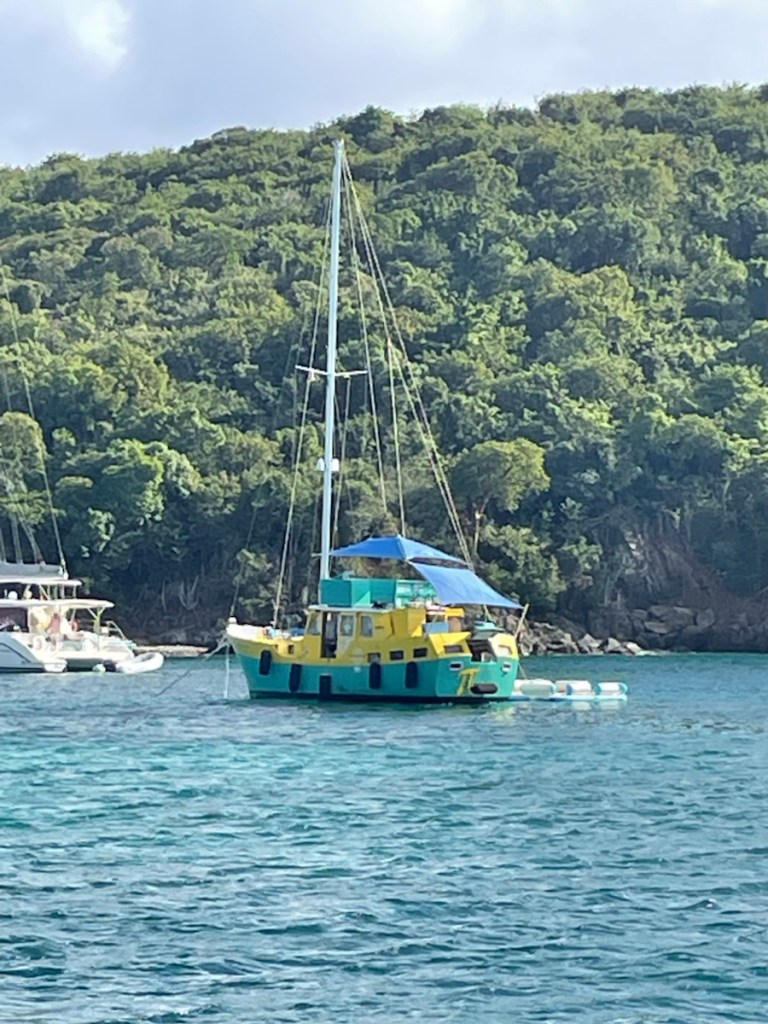
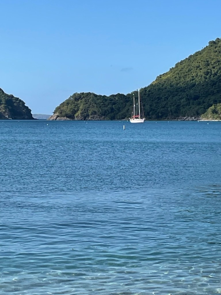
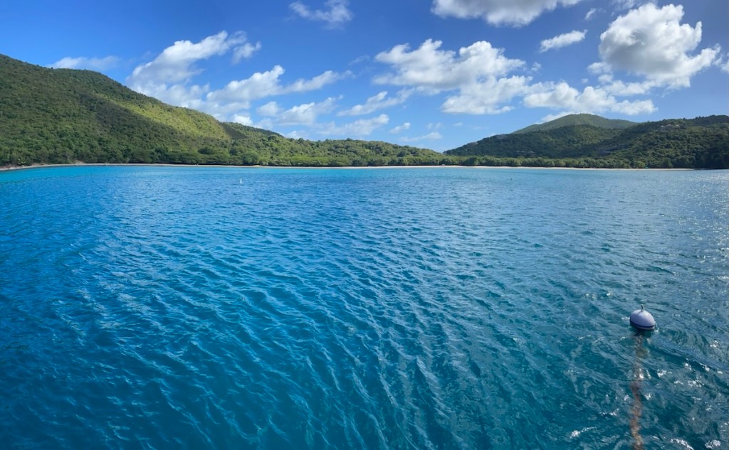
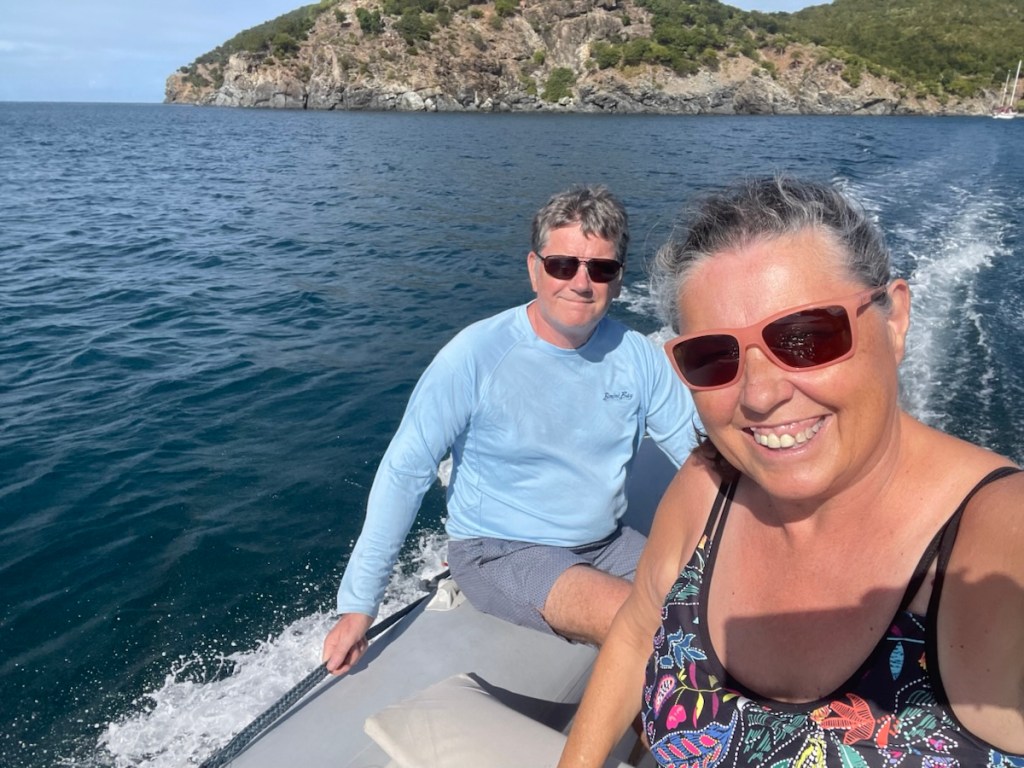
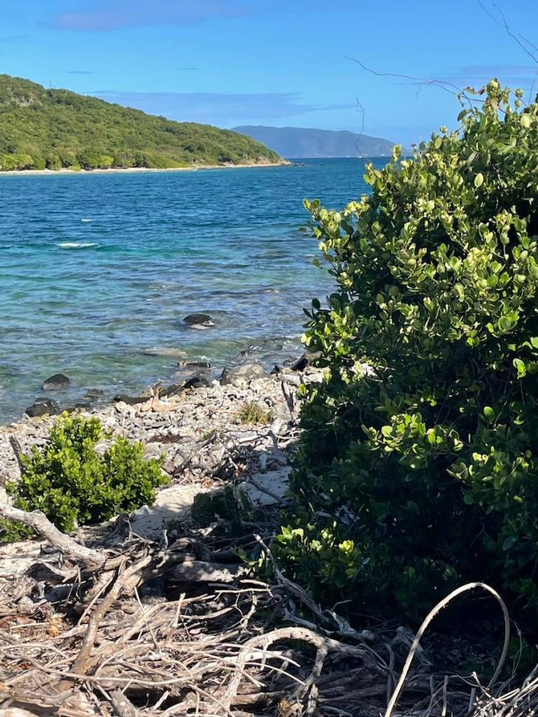
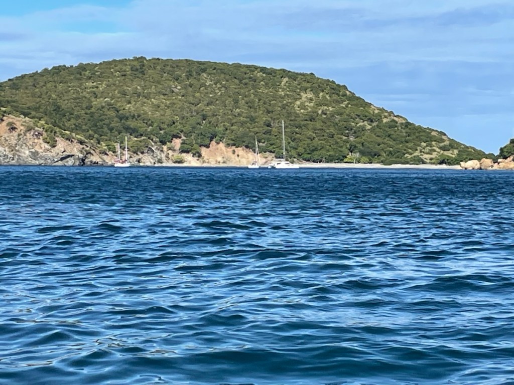
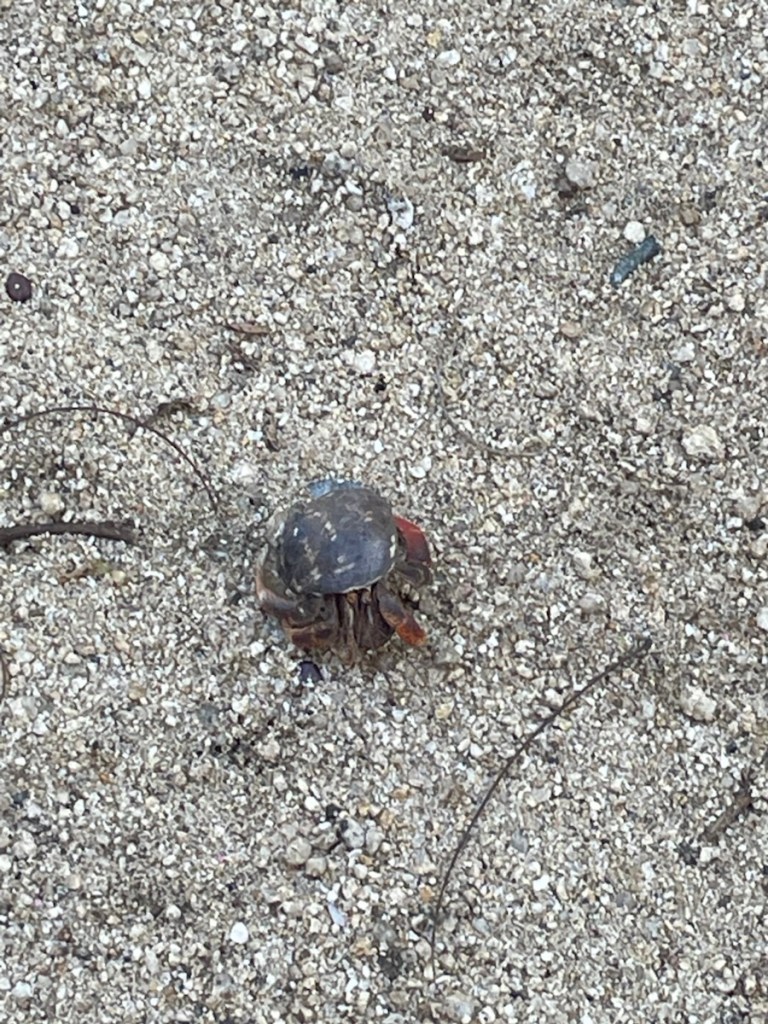
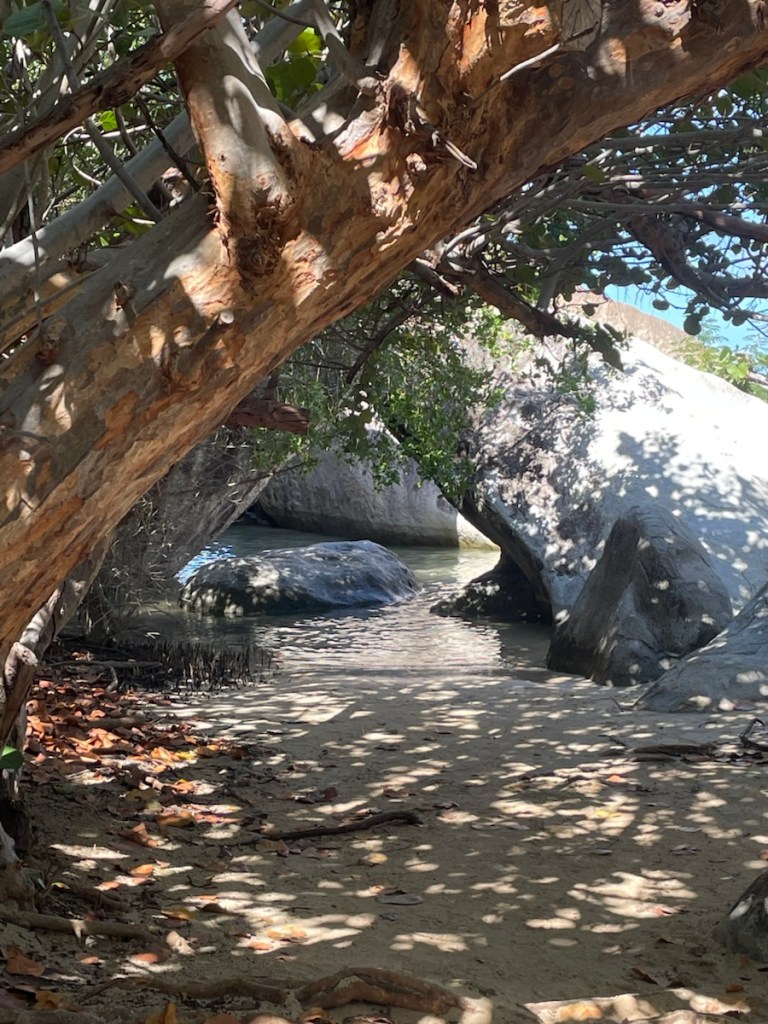
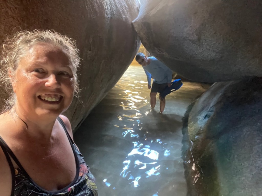
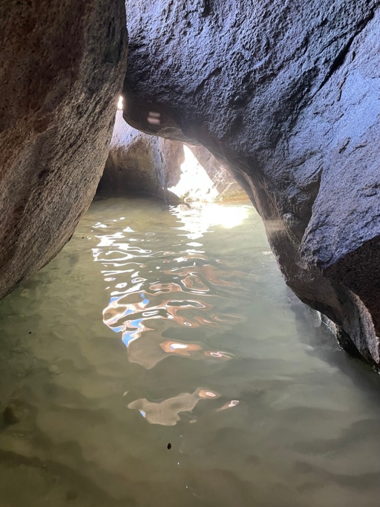
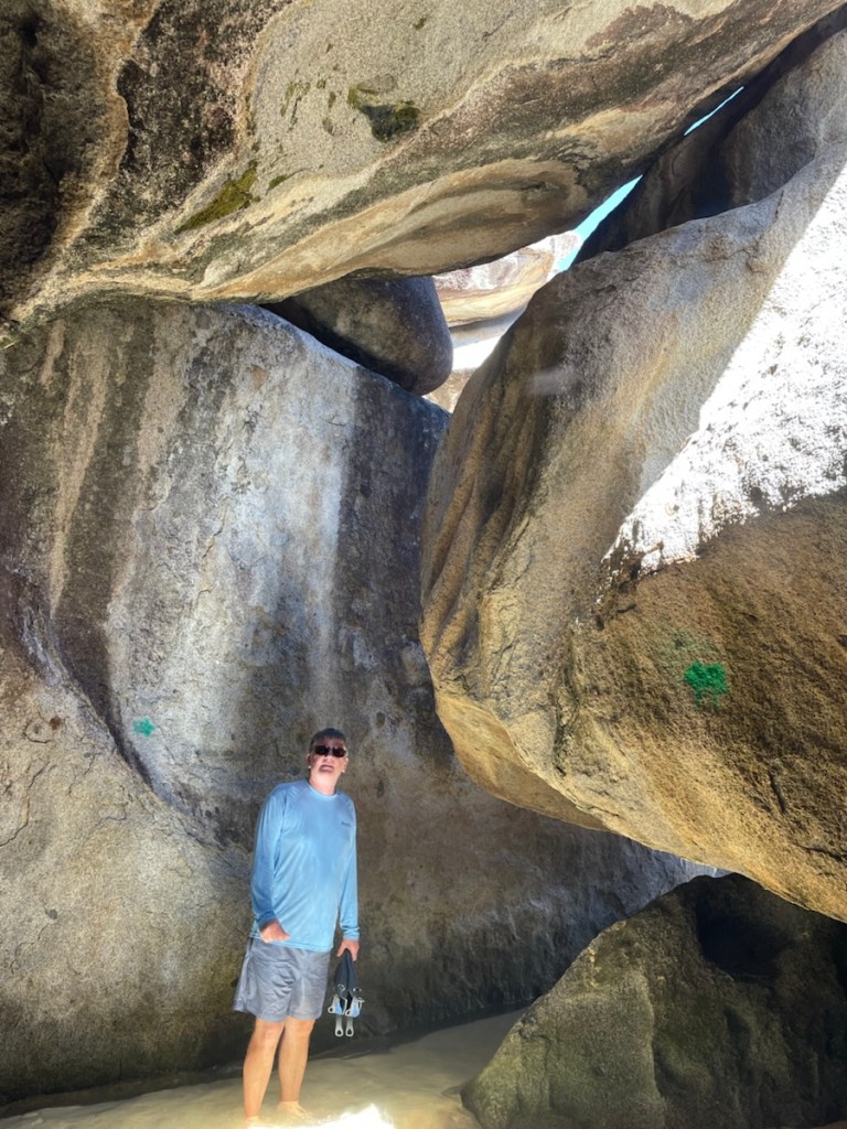
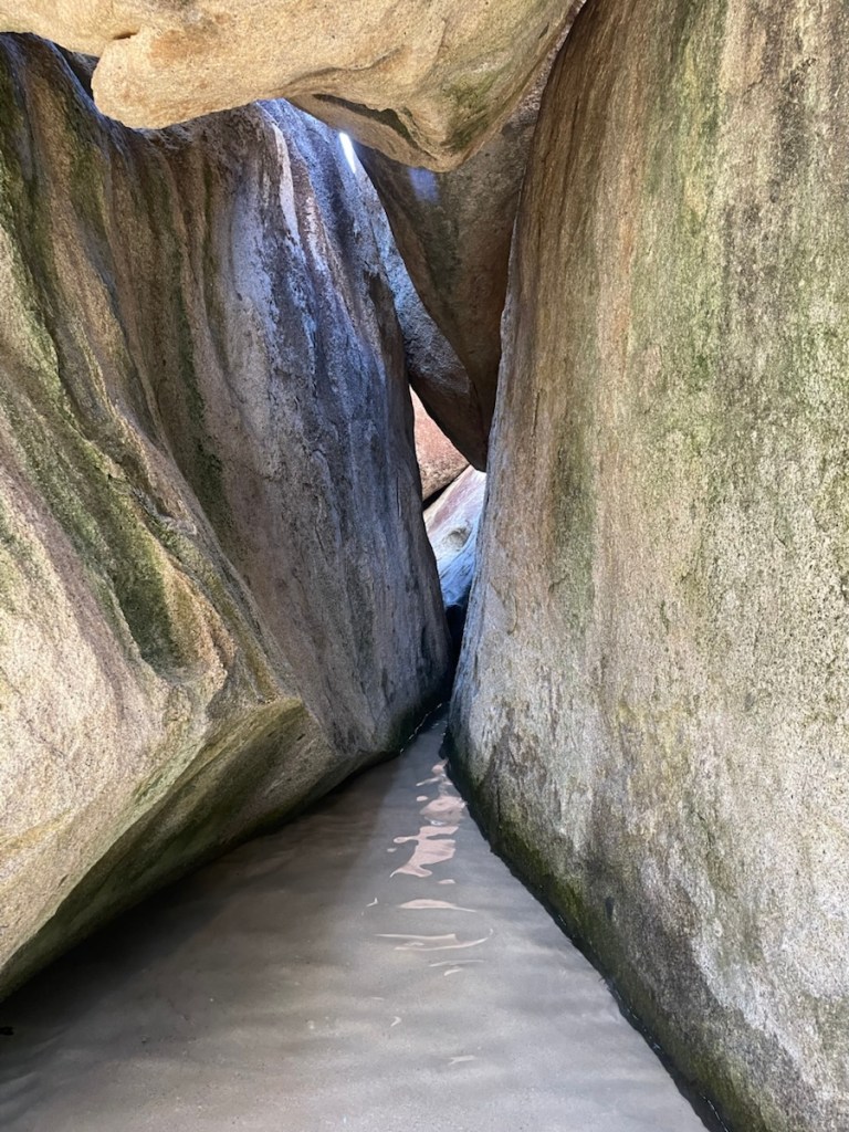
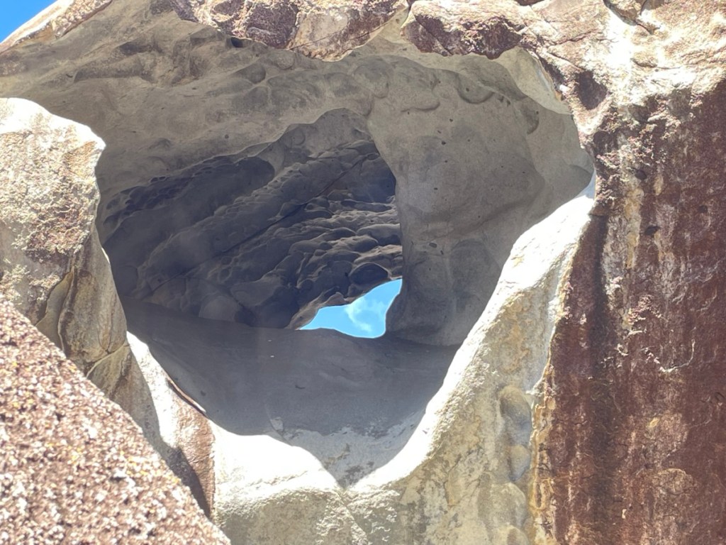
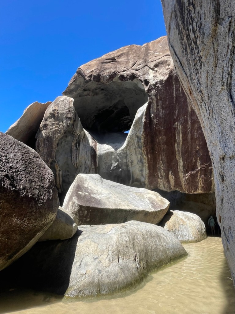
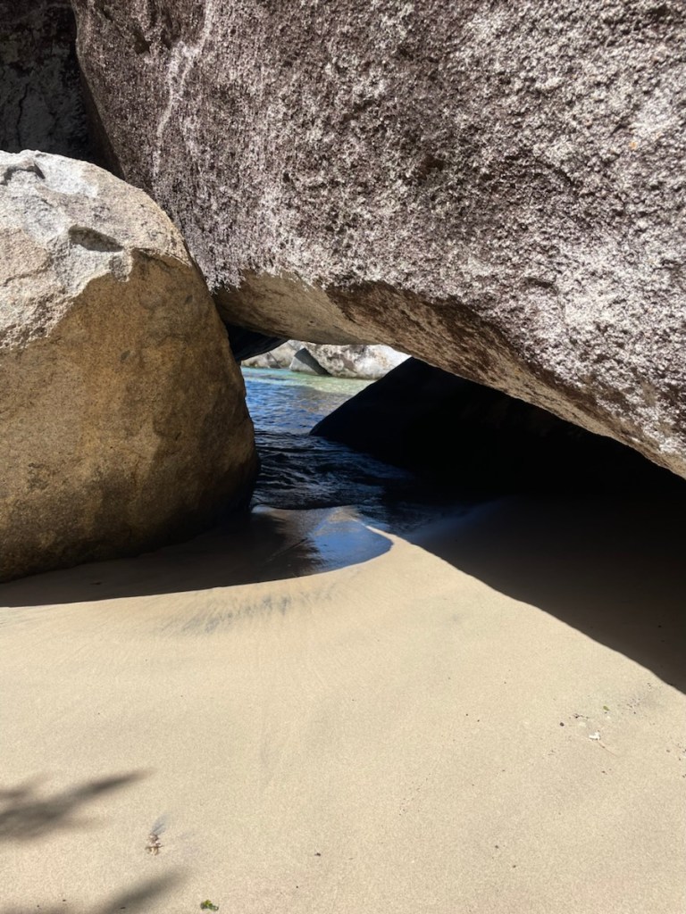
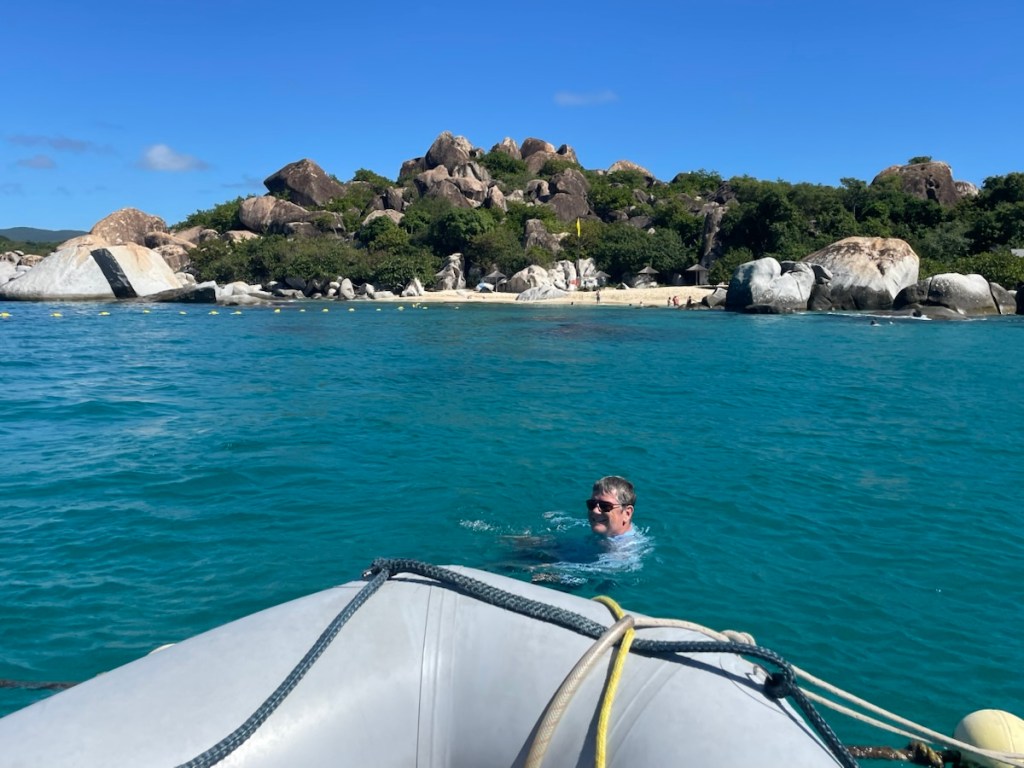
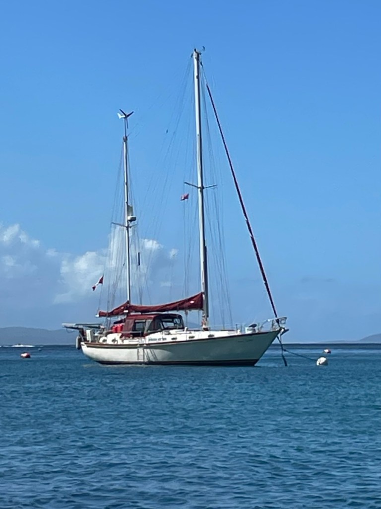
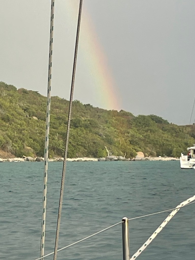
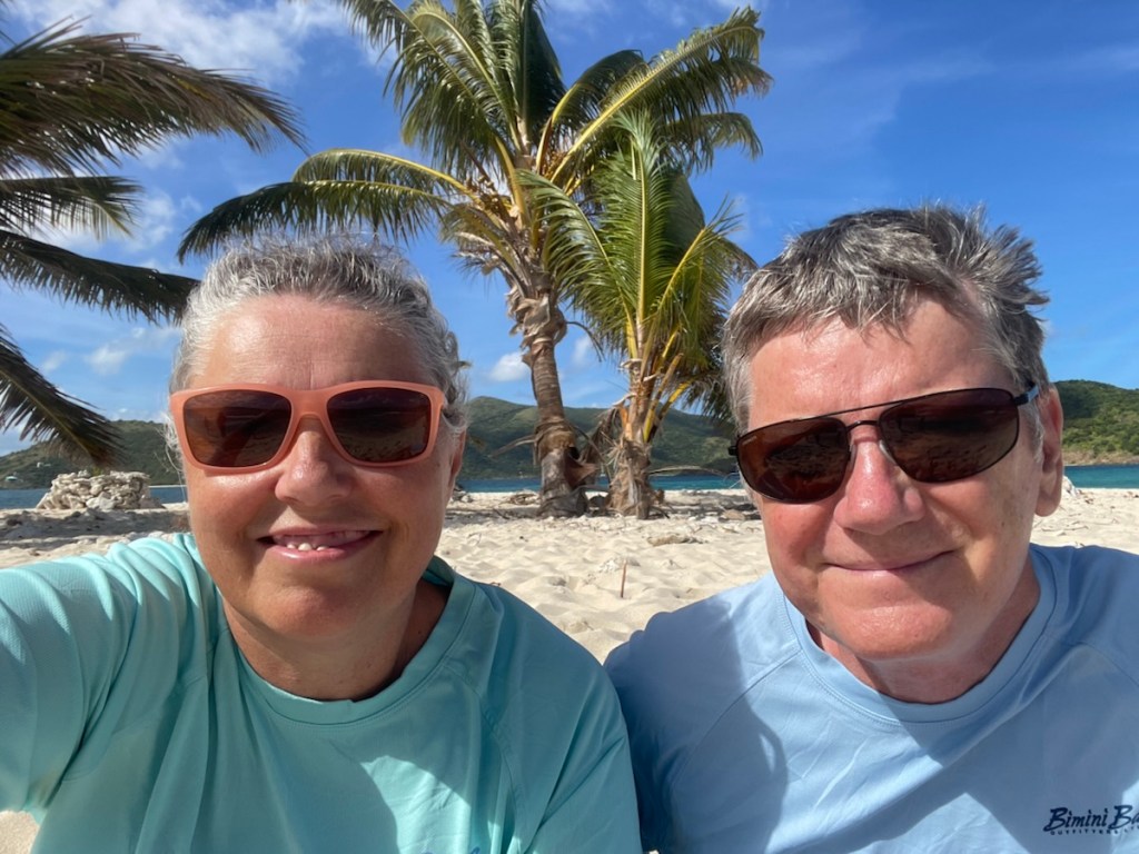
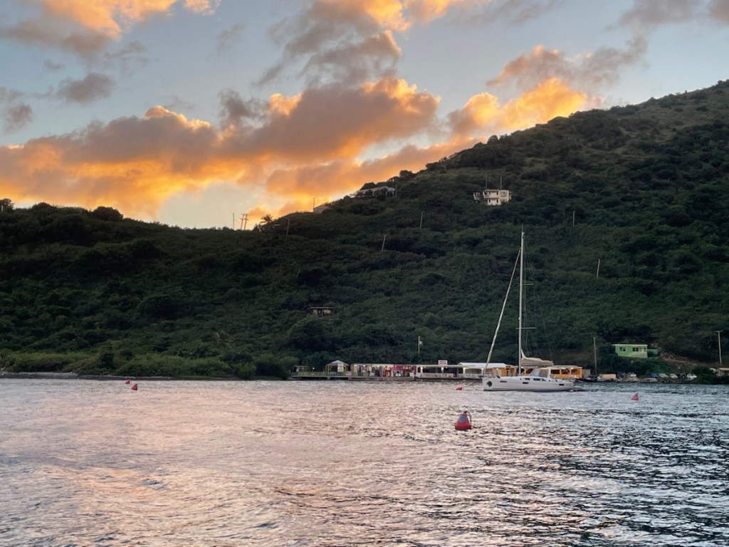
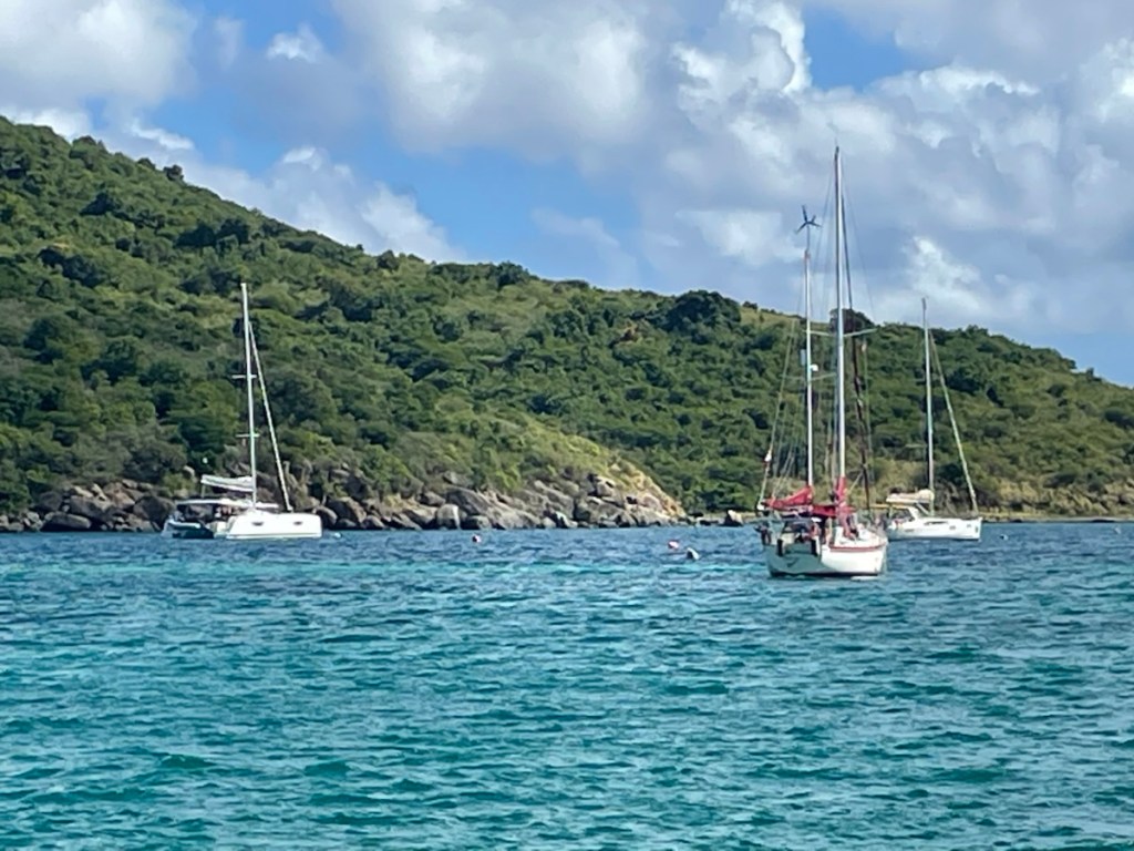
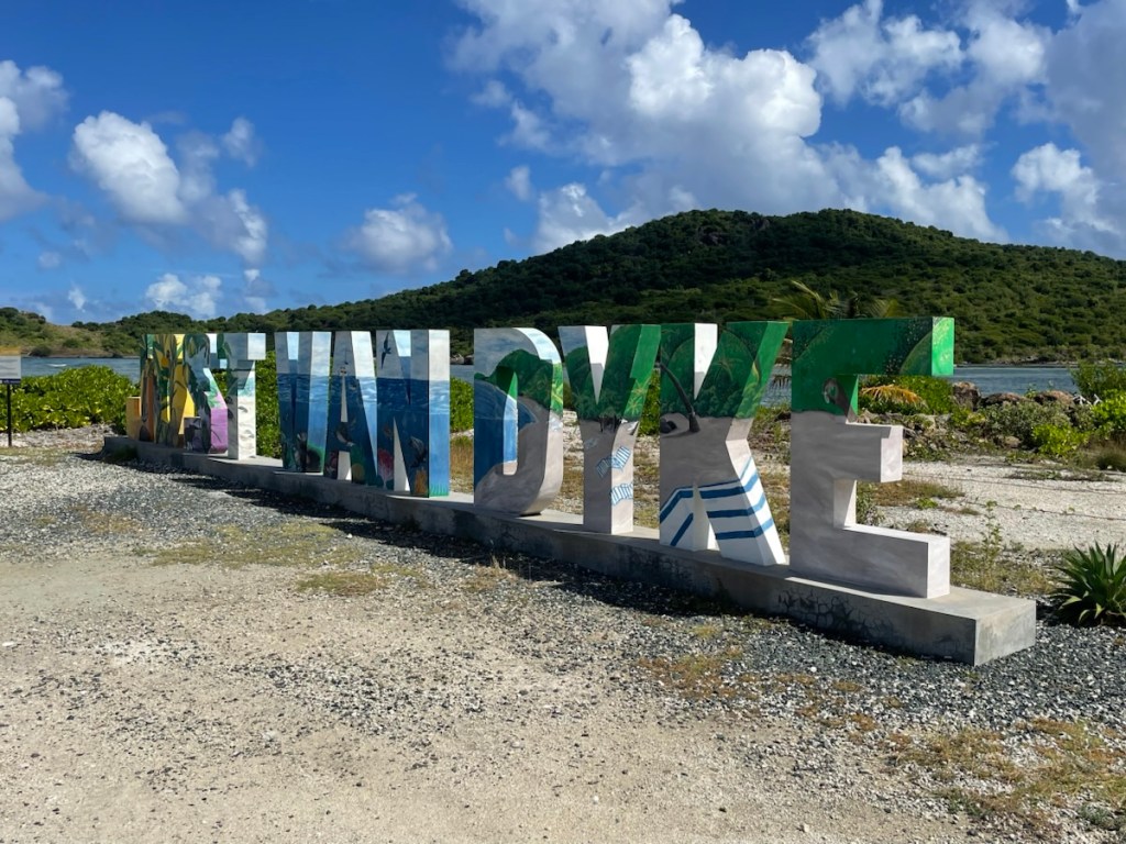
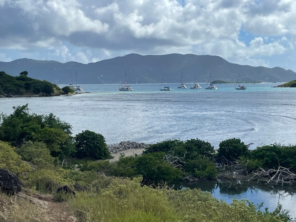
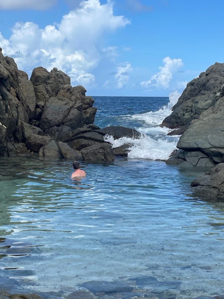
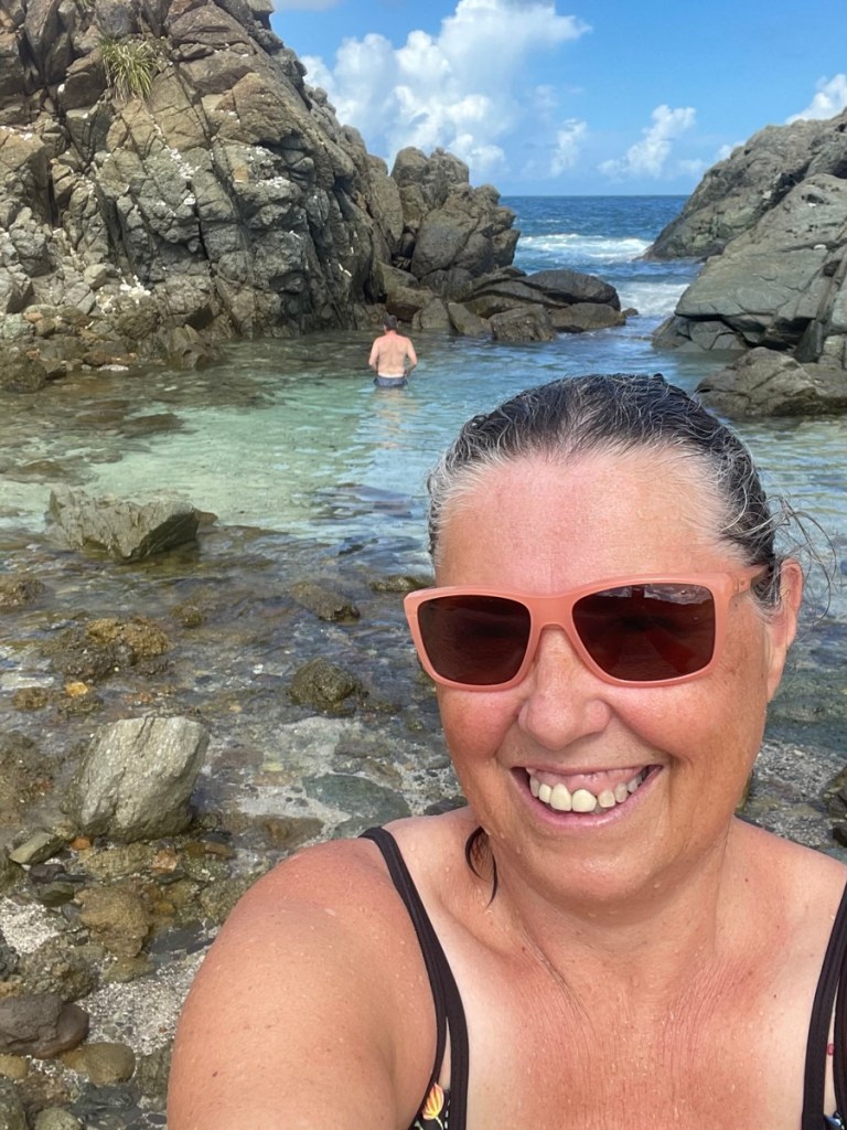
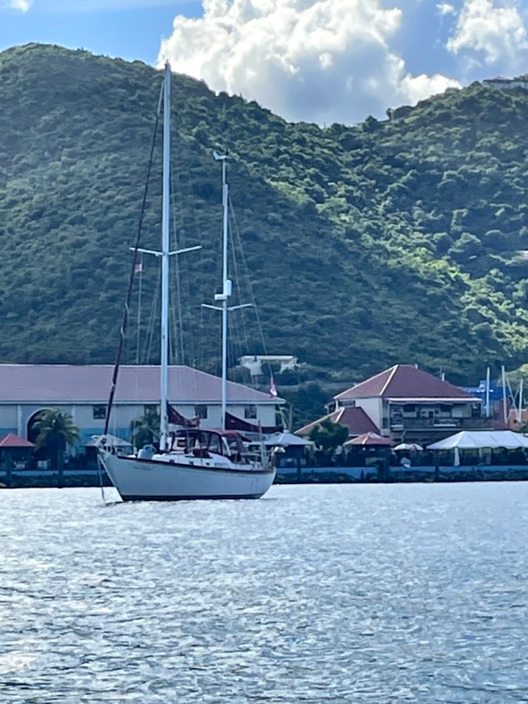
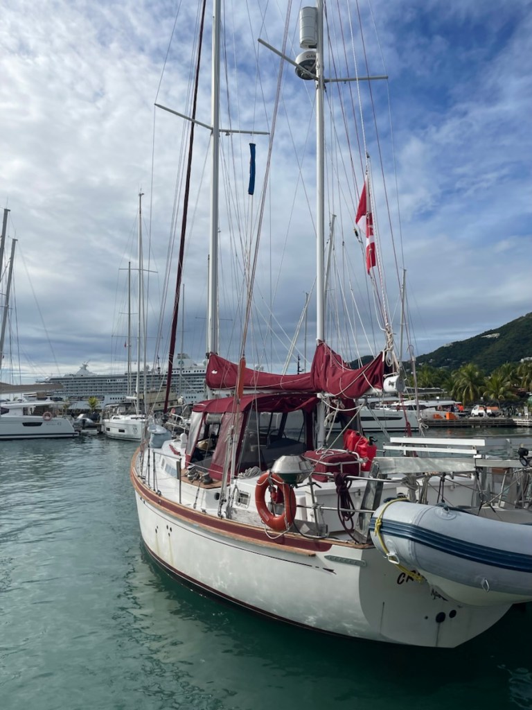
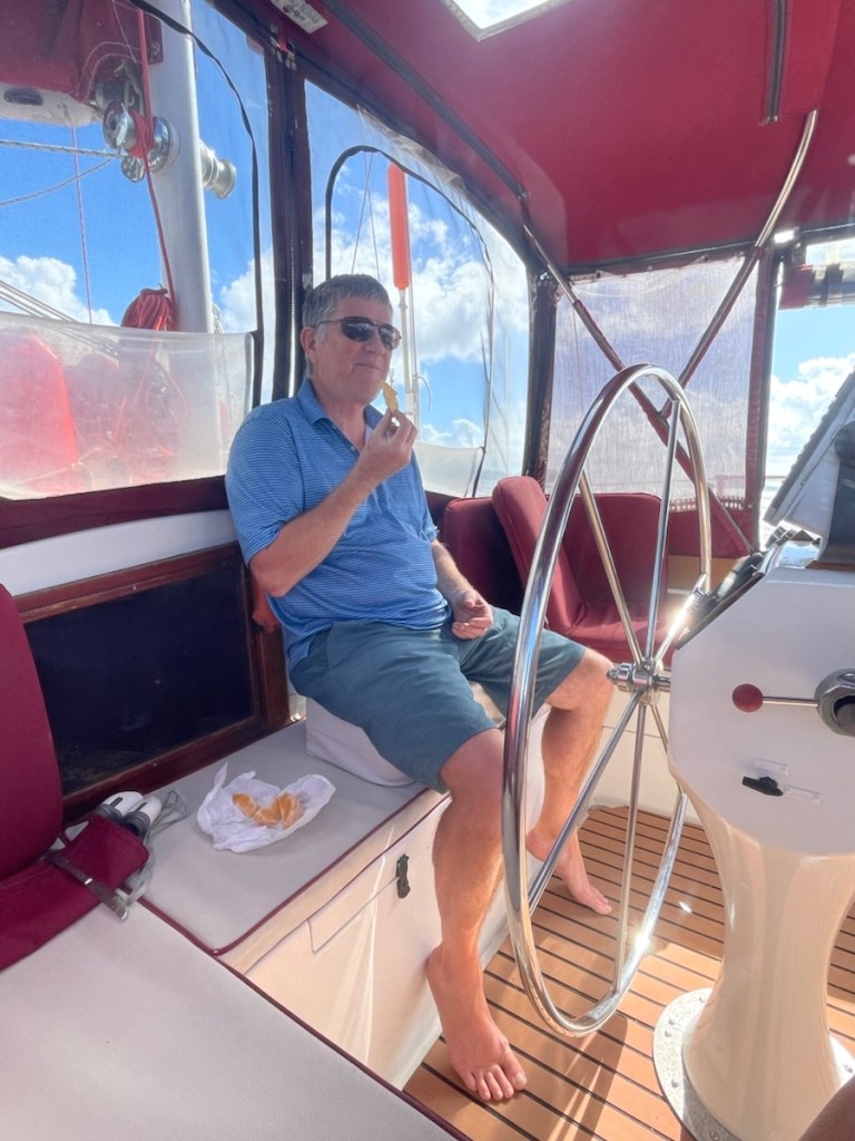
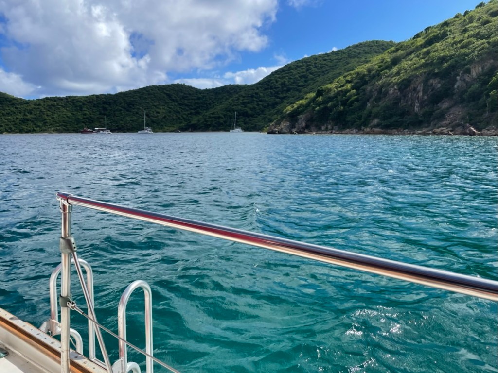
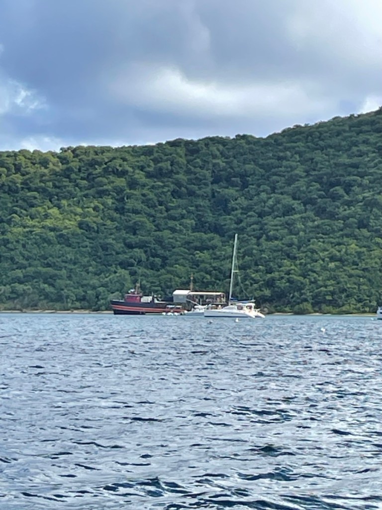
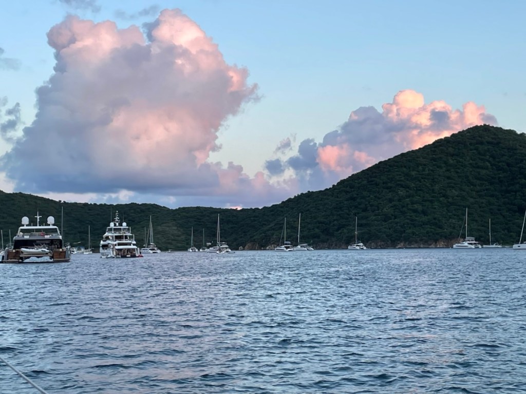
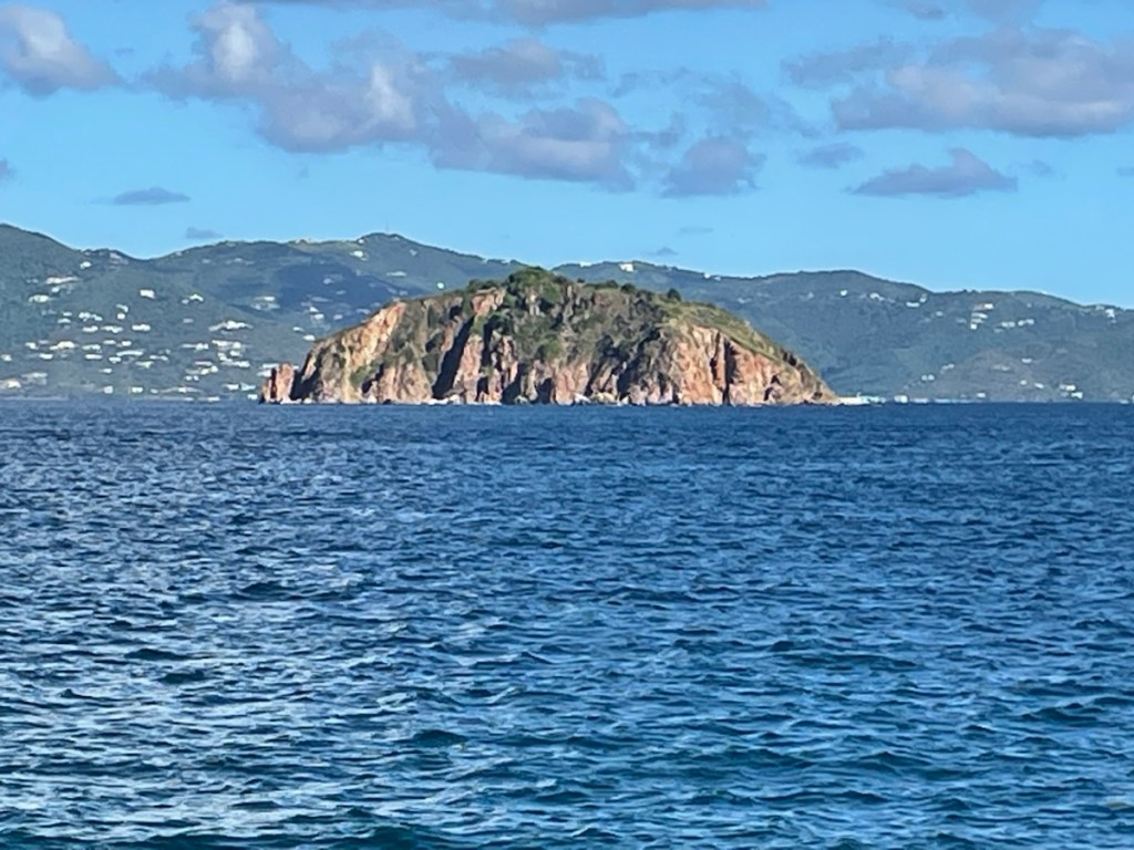
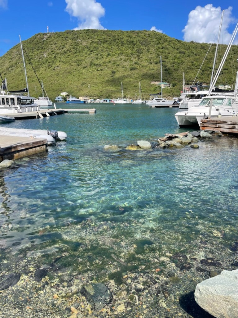
We arrived at our destination for the day – Christmas Cove, around 1pm. This cove is at Great Saint James Island and it’s known for having a calm anchorage, good snorkelling and the best sailboat pizza restaurant!! We definitely had to taste that pizza!! We picked up a free mooring ball and ordered our pizza. We were very close to the boat/restaurant so we could watch people come and go. Mark dinghied over to get our pizza and we had a very yummy (although somewhat expensive) dinner!!
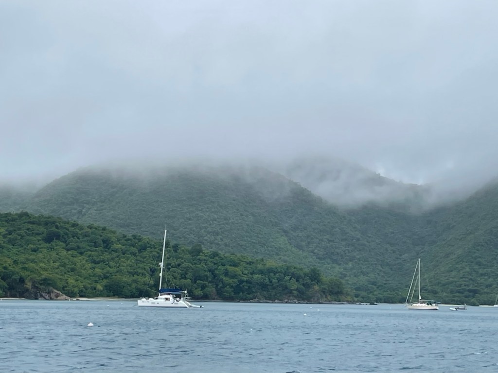
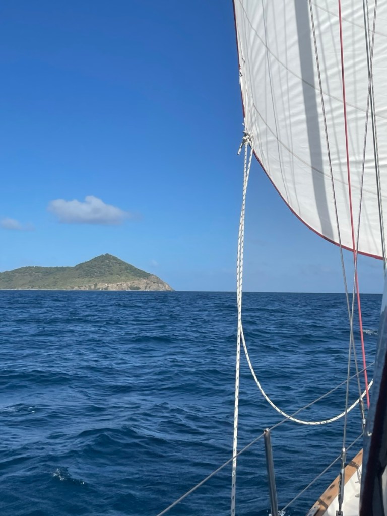
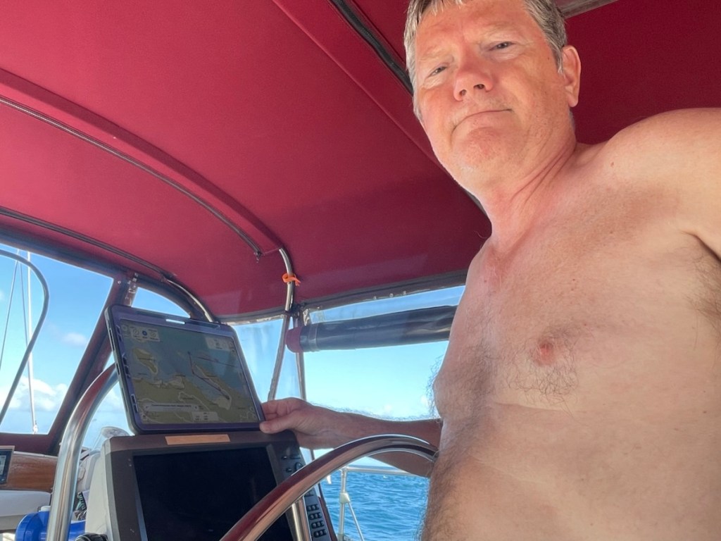
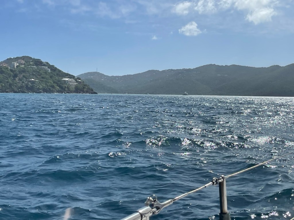
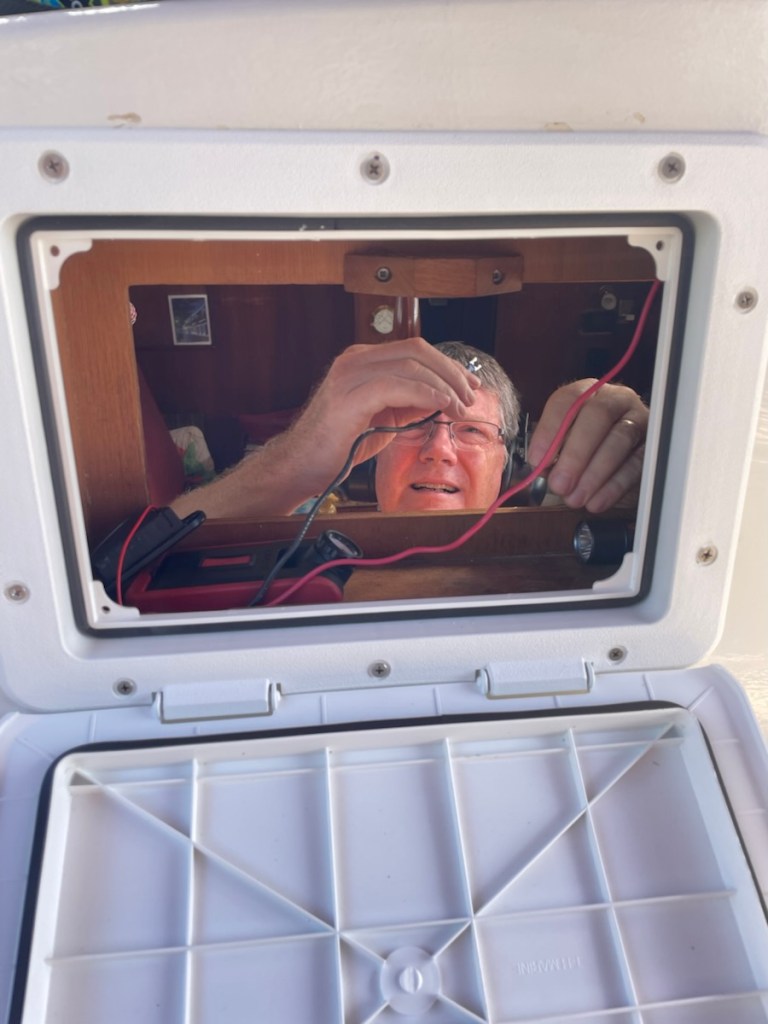
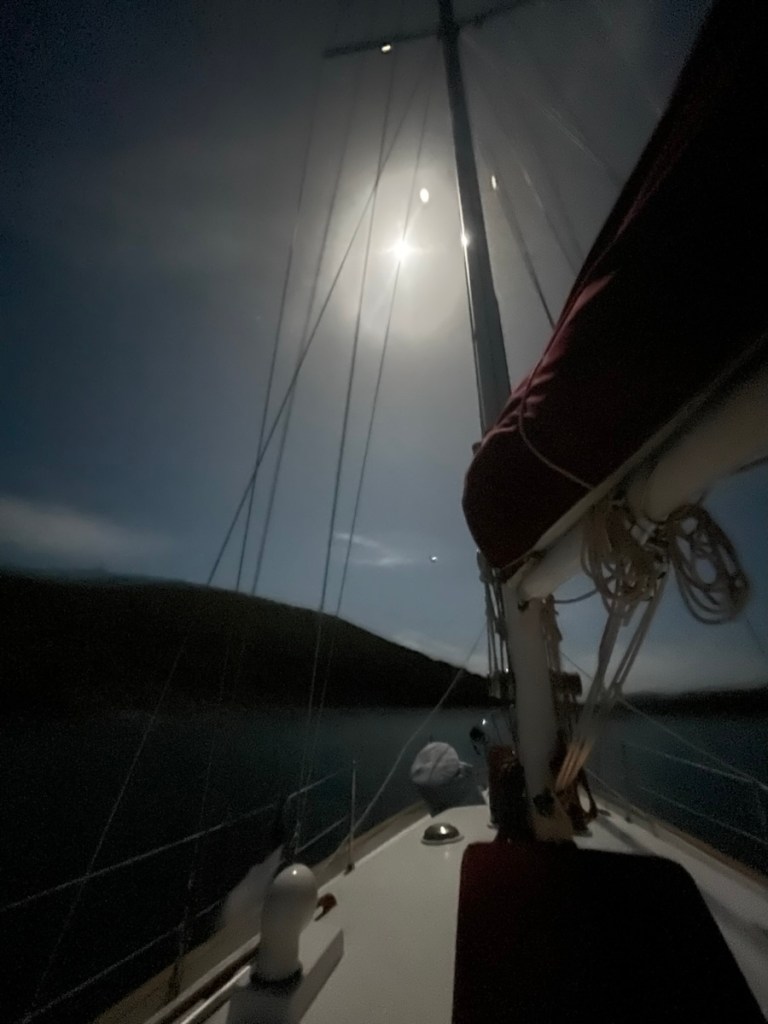
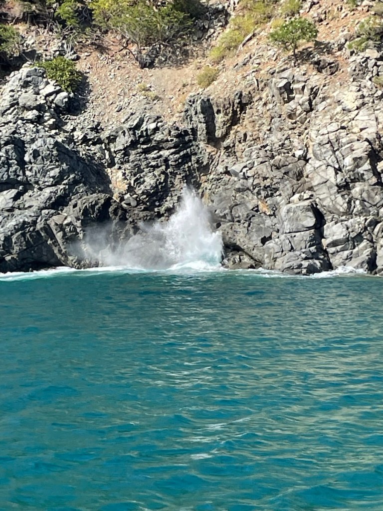
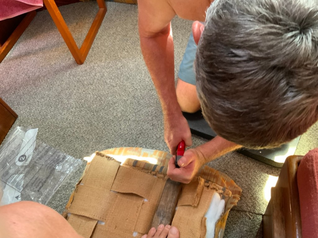
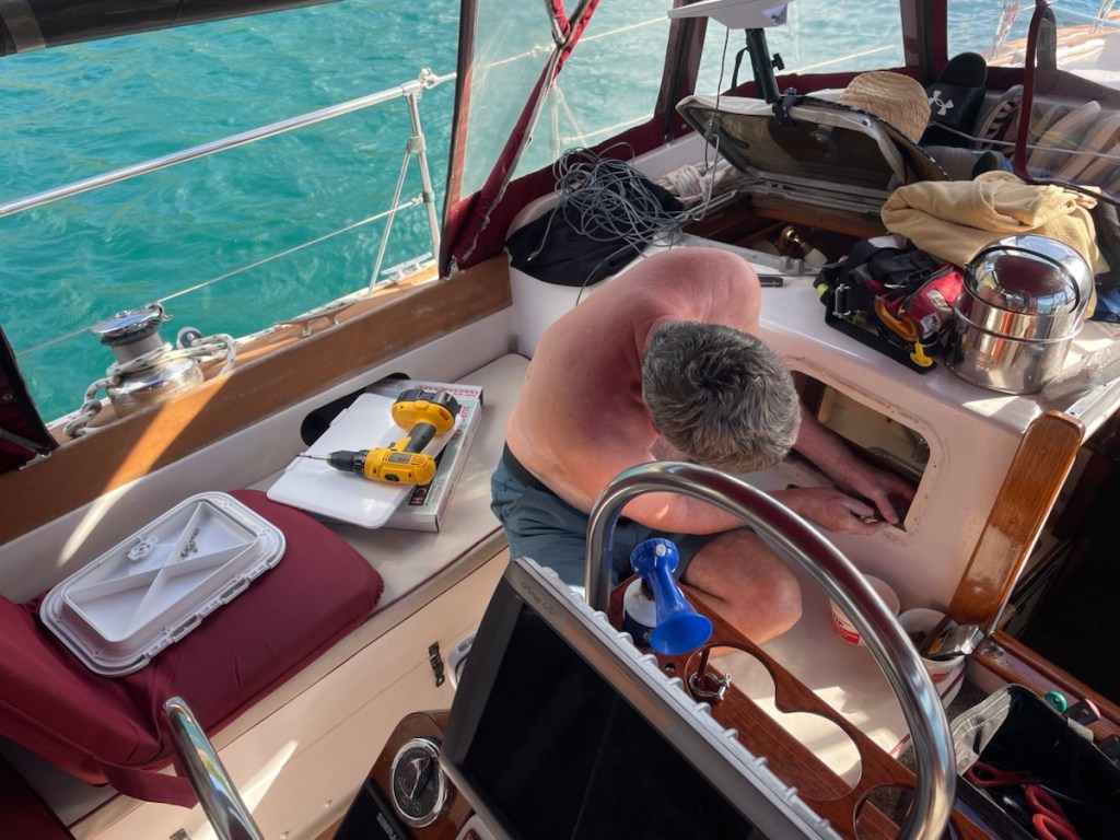
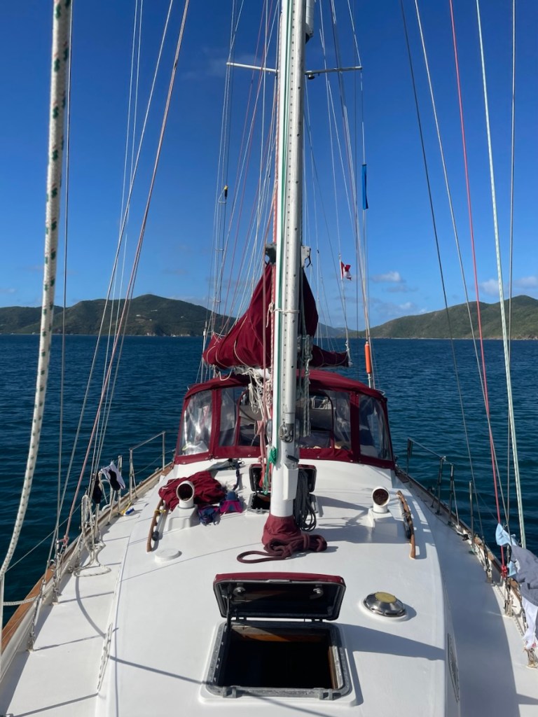
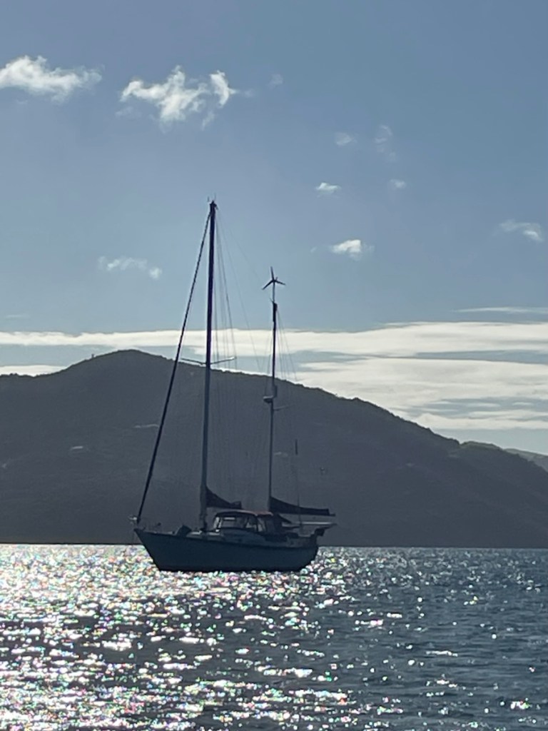
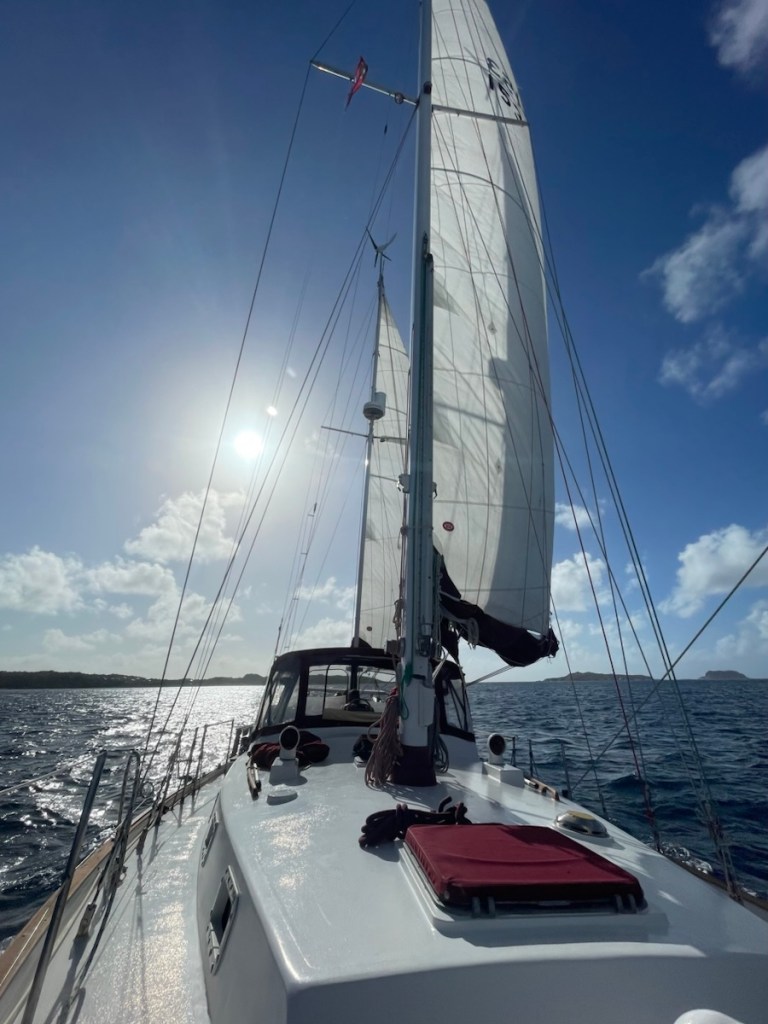
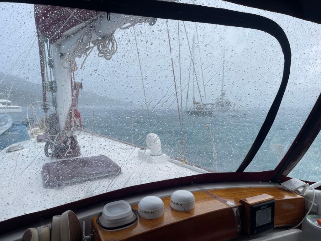
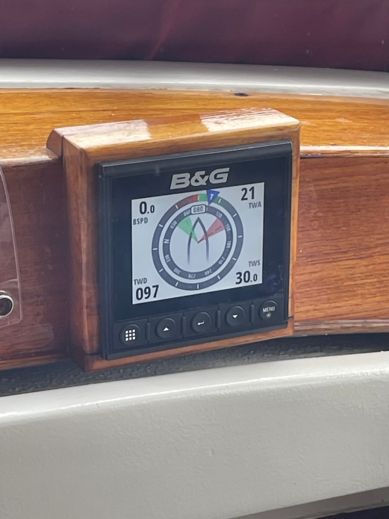
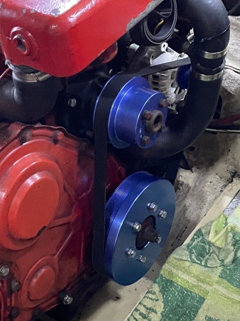
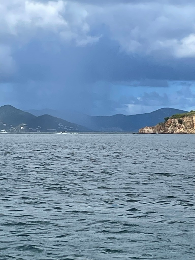
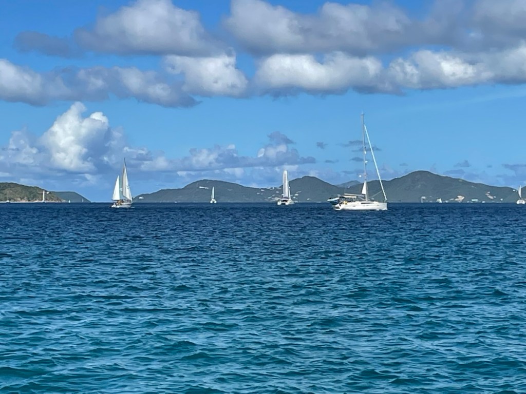
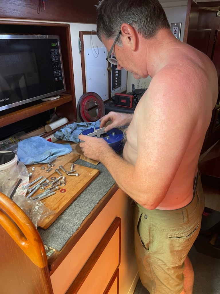
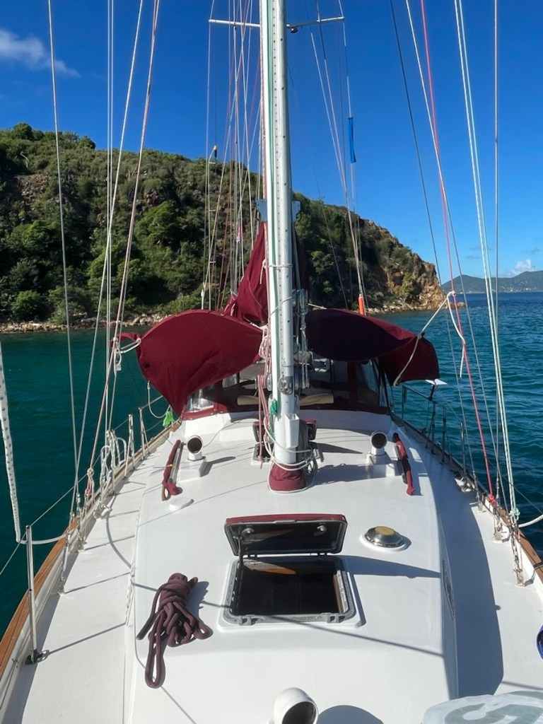
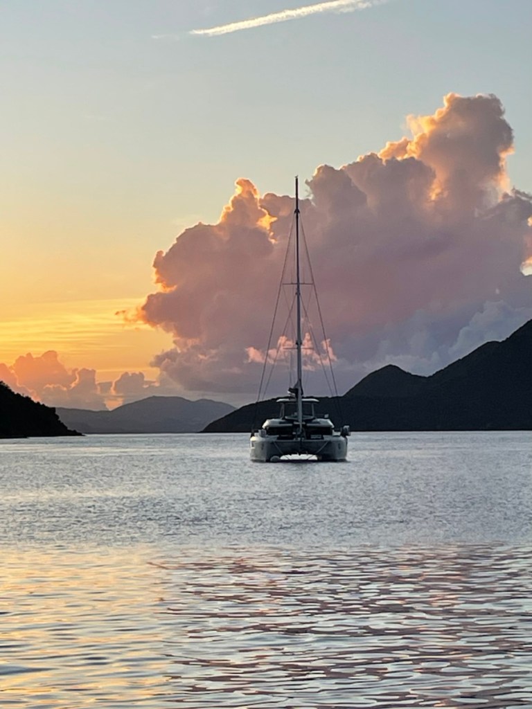
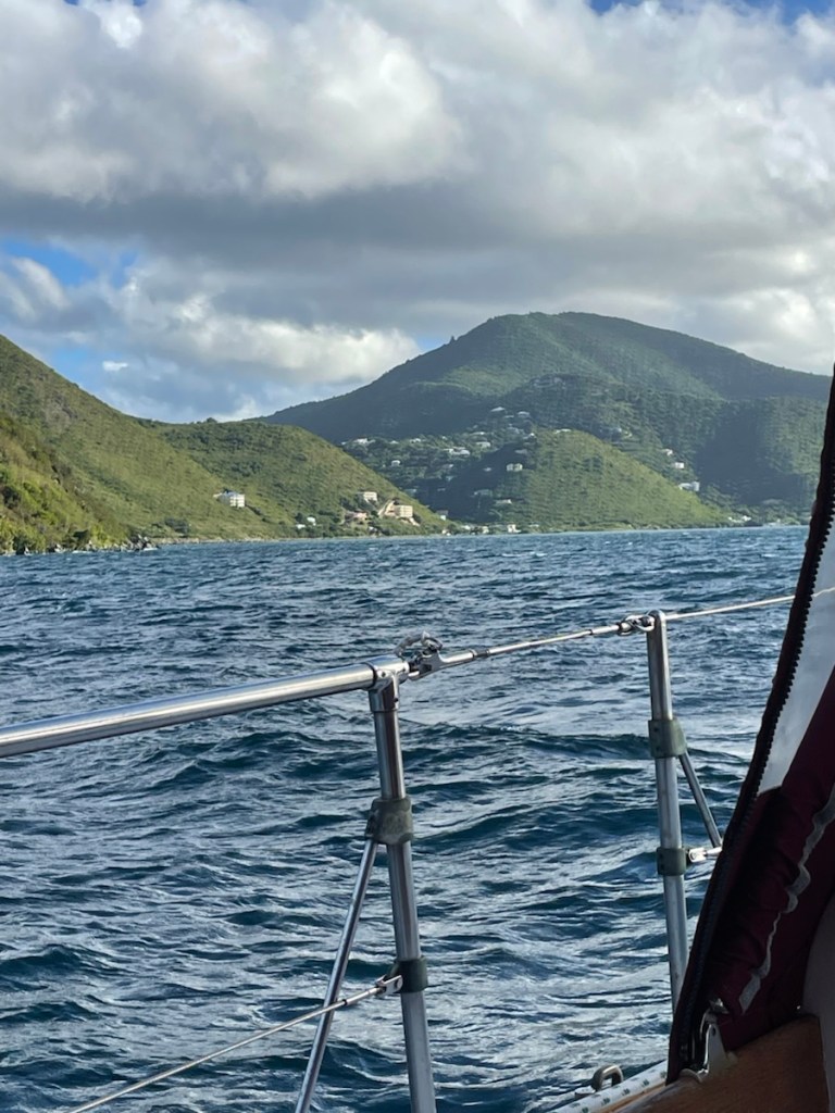
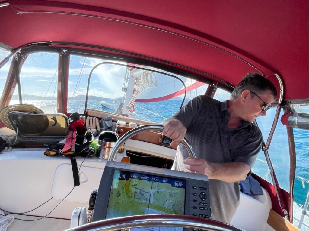
Our original plan was to stay at Christmas Cove for another night but we decided to move on in the morning of Dec. 12. Our wind apps were showing a very windy day on Dec. 13 so better to move when it wasn’t too bad. We were on the move around 9:30 am and heading the whole 6nm to Magen’s Bay – on the north shore of St. Thomas. We had quite a bit of wind (from the east/south east) so we only used the jib. At one point we saw 25 knots of wind and some interesting large waves (which were hitting us on the side – a bit rough). We had a nice sail going when our chart plotter suddenly shut off!! The plotter is our guide – it is a map of the area and shows our course, speed and water depth (plus a few more items). It has shut off before but usually turns back on. This time no luck!! At first it would turn on and almost load the maps before shutting off and in the end, it wouldn’t even turn on!! The plotter is 15 years old so it doesn’t owe us anything but the timing of its demise left a lot to be desired!! It’s a good thing we have backup for everything on this boat – including the plotter. My iPad has an app called aquamaps and it works just like our plotter. So we switched to using my iPad for the chart. What my iPad doesn’t do is depth – but we have a secondary depth sounder with our wind meter so we were good!! We made it into our new destination with only a bit of stress (can’t see the wind direction when the wind meter is showing the depth). We ordered a new Garmin chart plotter which will be delivered to Puerto Rico. An early unplanned Christmas present – the joys of sailing! 😁
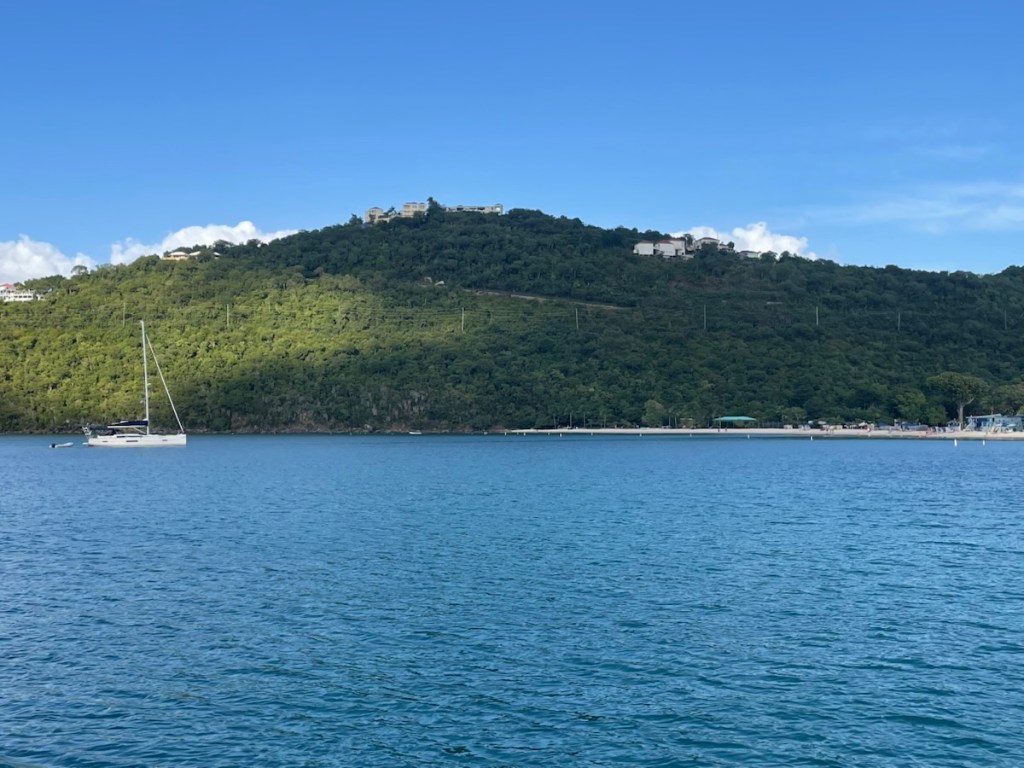
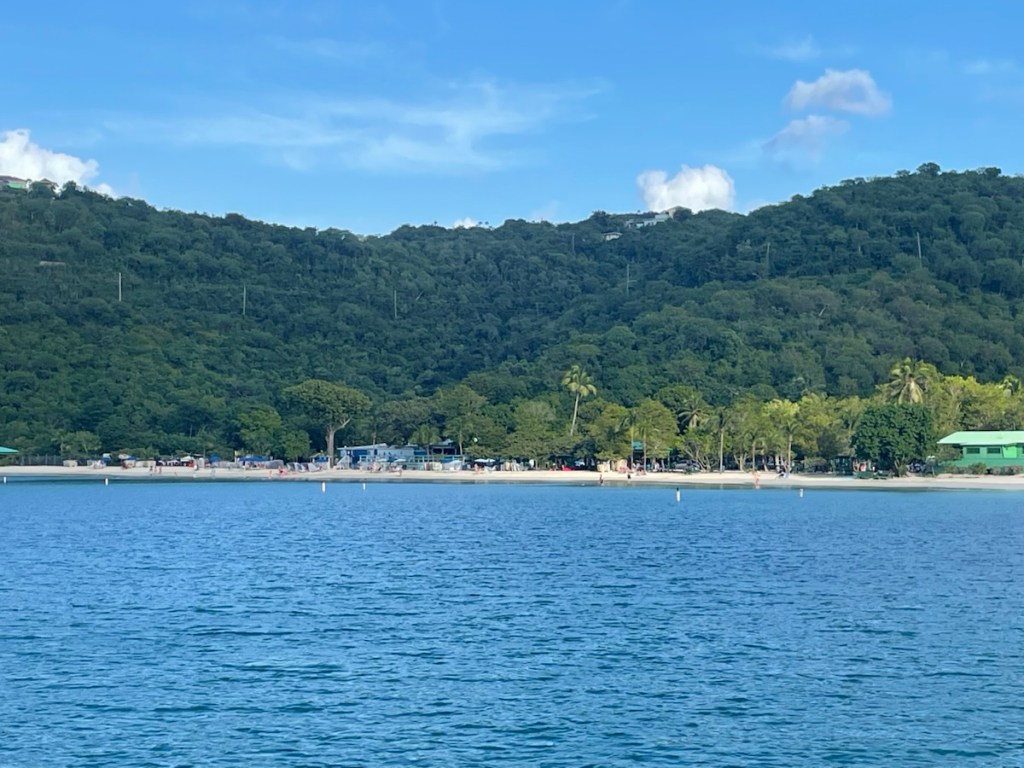
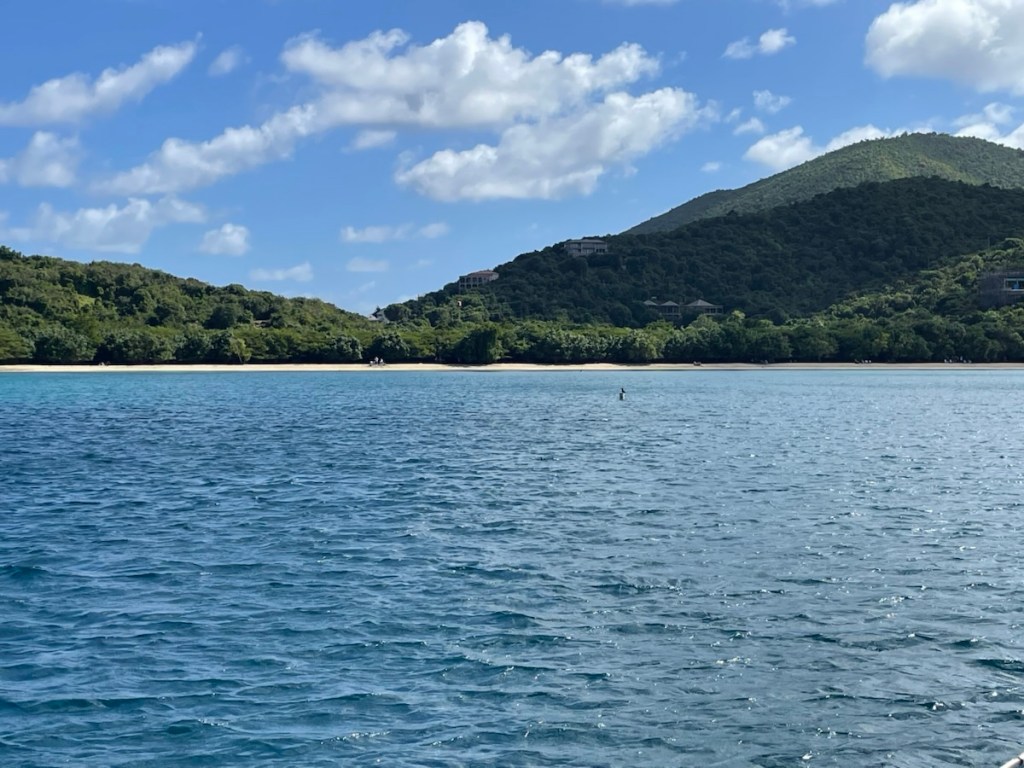
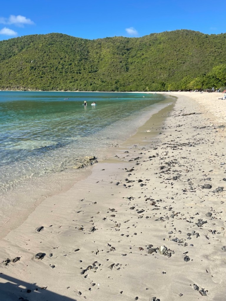
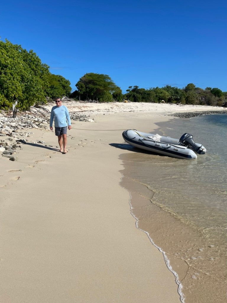
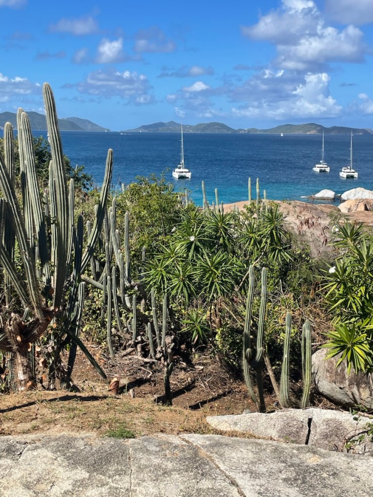
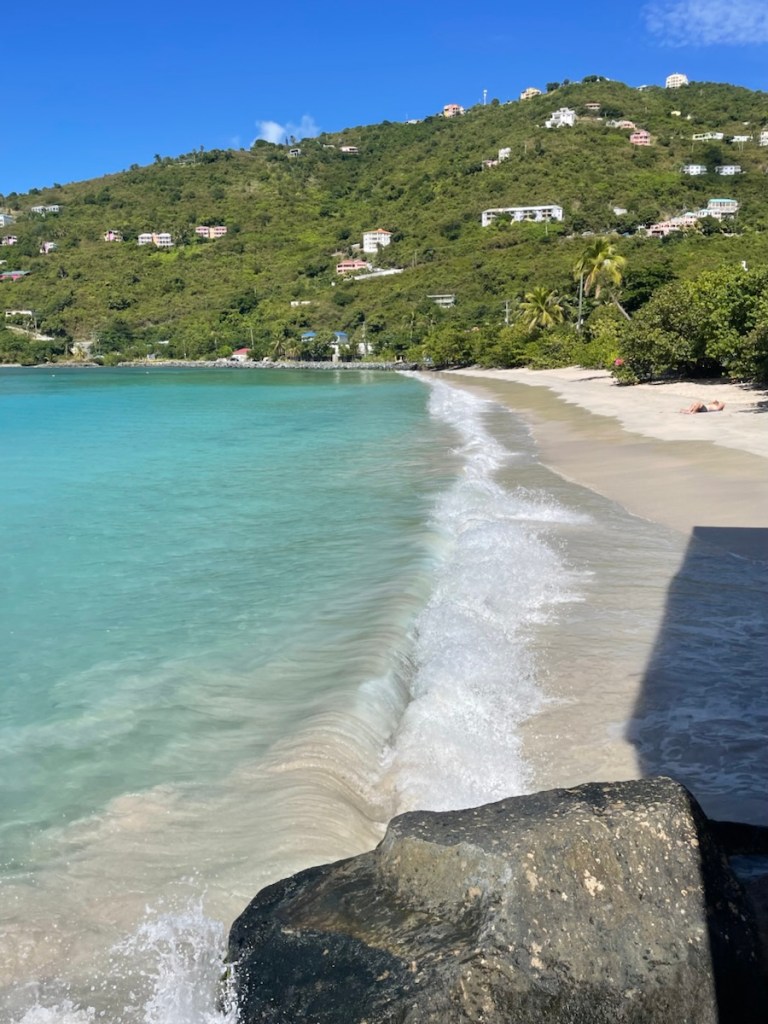
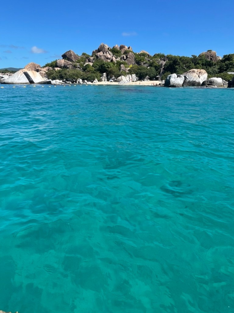
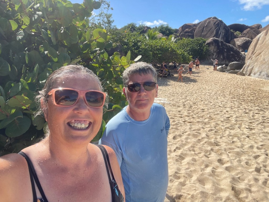
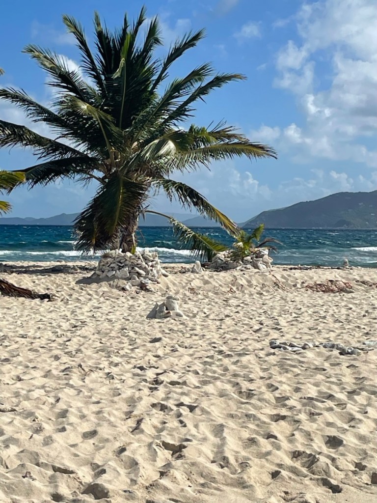
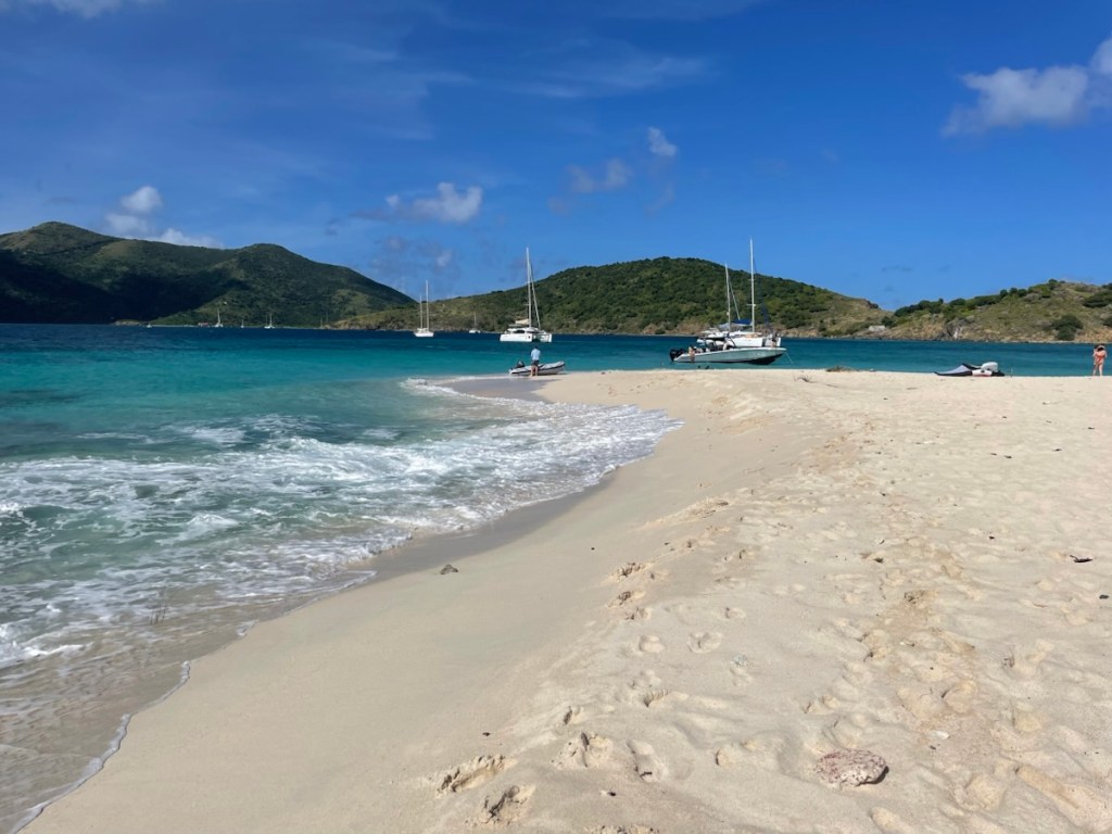
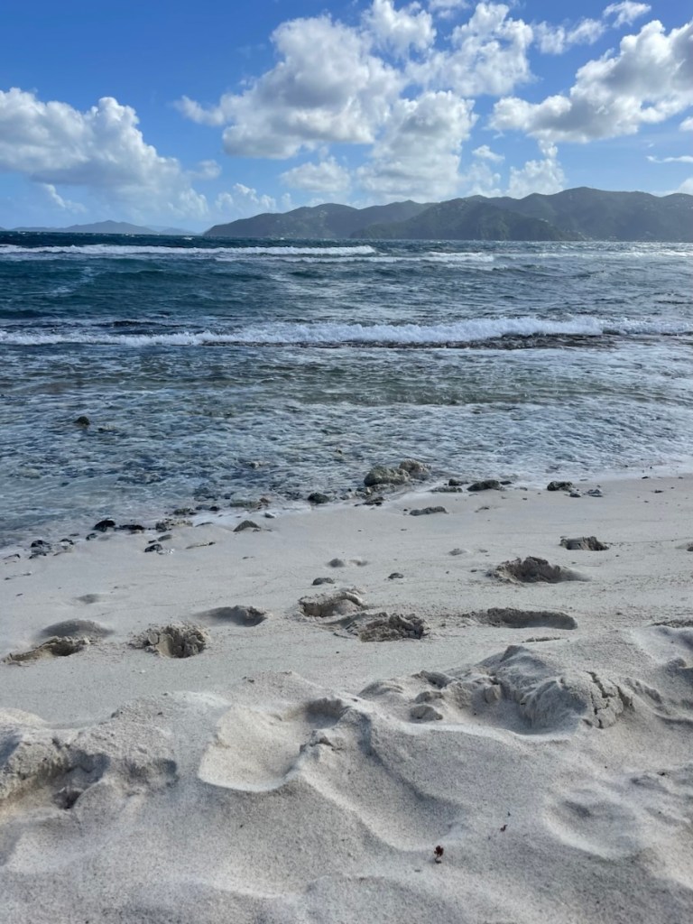
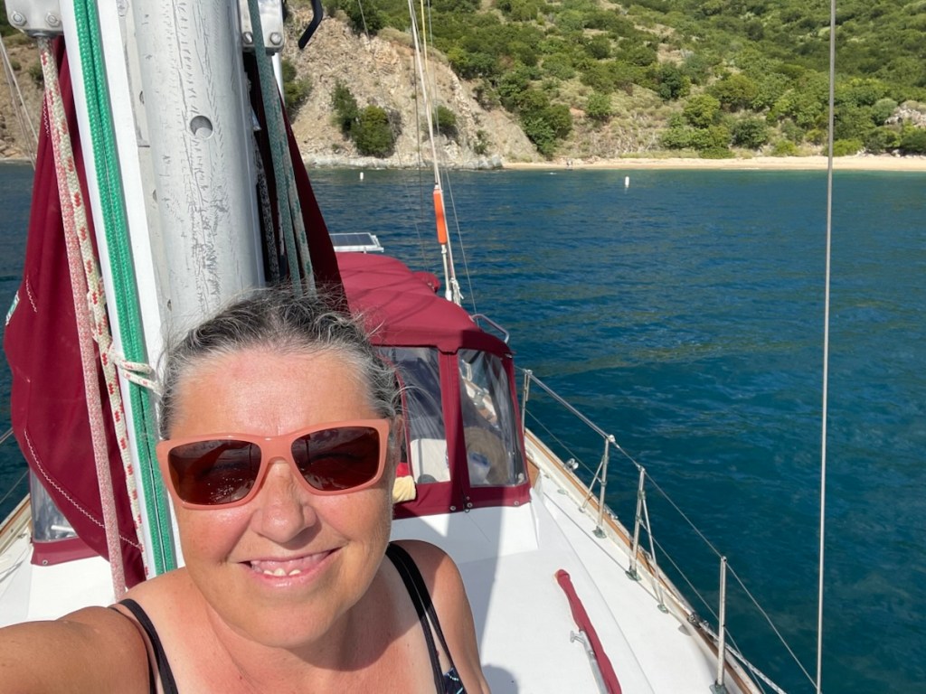
So here we are in Magen’s Bay – apparently one of the 10 best beaches in the world. It is a very lovely long bay with hills surrounding it. The beach is very long and by the number of folks on it today – it’s quite popular. We had a lovely swim this afternoon and relaxed in the cockpit. Our plan is to stay here until Sunday and then head to Culebra. Without our plotter we’re trying to minimize the number of anchorages we visit between now and going into the marina. So we’ll stay here, go to Culebra (where we’ve already been) and then go into the marina on Dec. 17th.