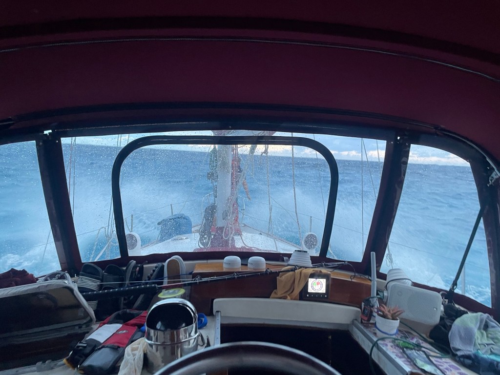
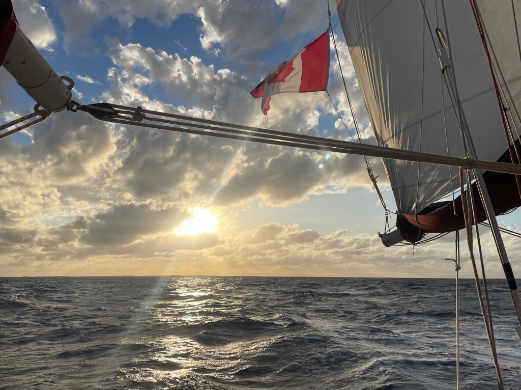
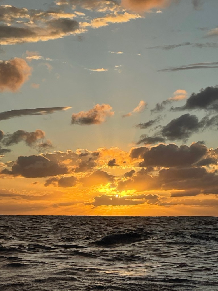
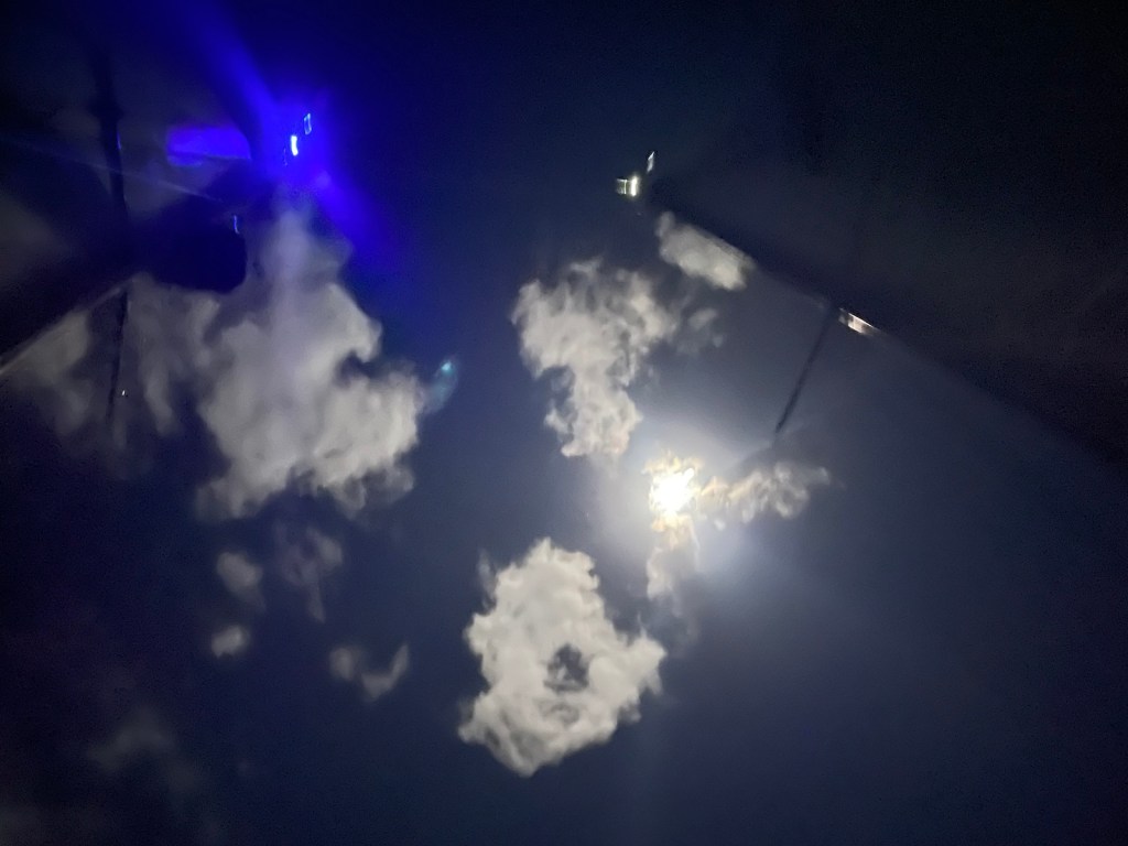
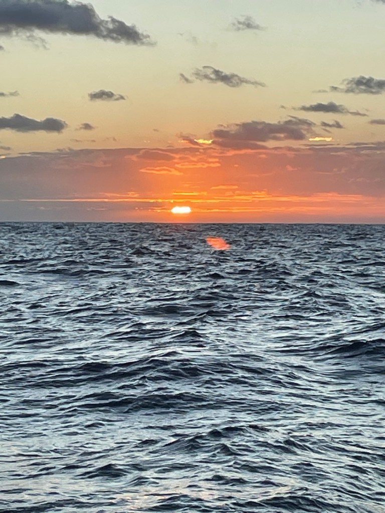
We made it!! 170 nm from Clarence Town to the Caicos Banks in 28 hours. The wind was northwest the whole journey with the waves pretty much in the same direction. We had all sails up and we were cruising along in the low 7knots for most of the time. It was a very quiet trip – only a few other AIS signals (boats in other words) were out on the water (mostly cargo ships) and we were fortunate to have a clear night with an almost full moon so even the night portion of our passage was easy.
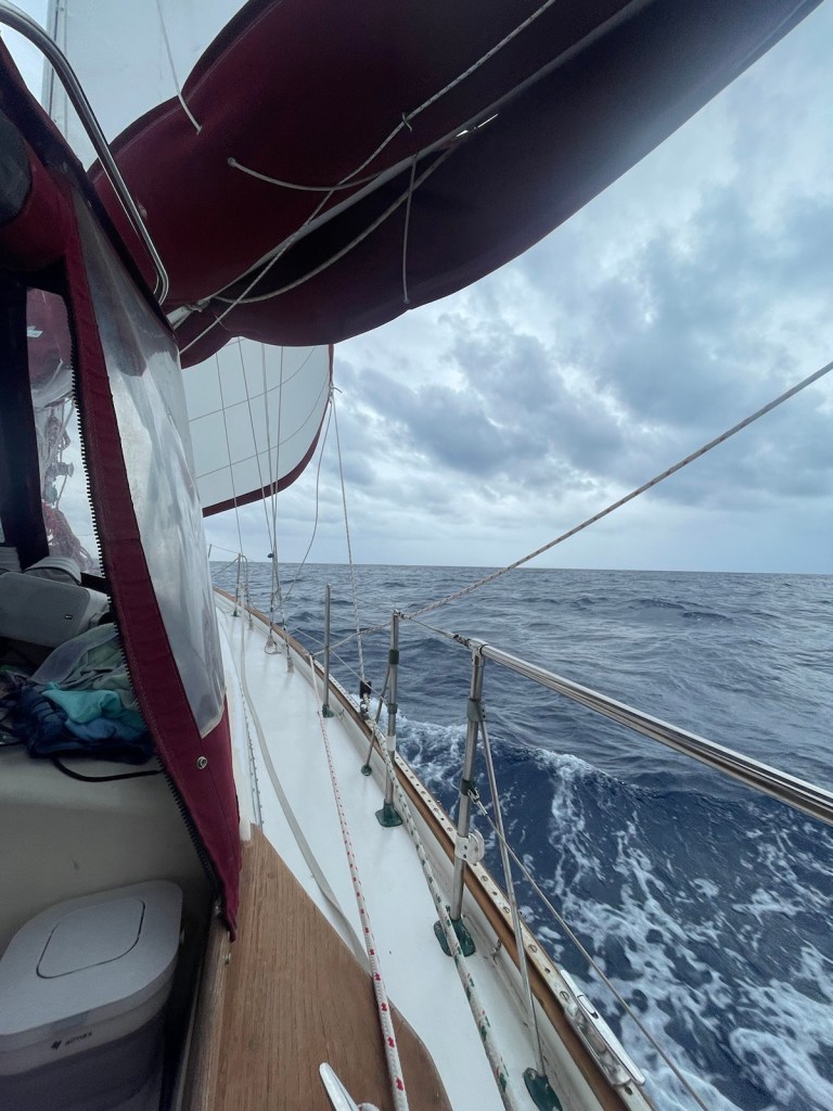
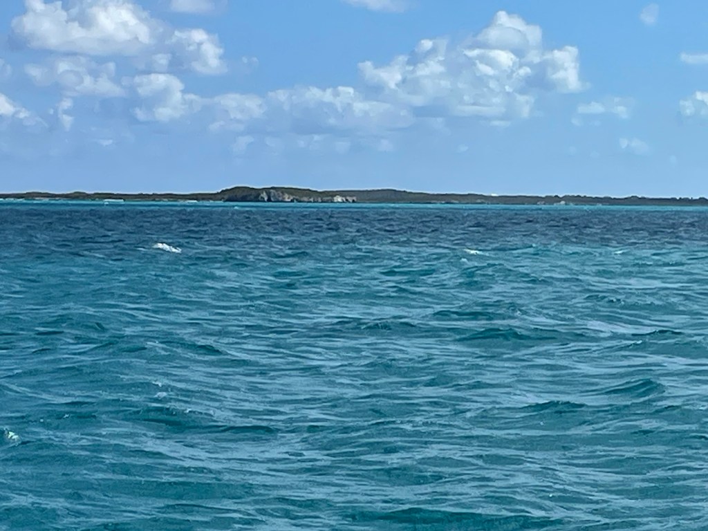
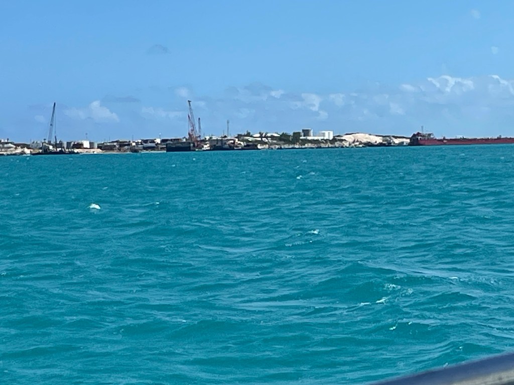
The whole trip was 180nm (from Clarence Town to South Side Marina) and the last 10nm or so getting into our marina was a bit more interesting. The Caicos Banks are very shallow and have lots of coral heads and rocky areas to navigate. As soon as we crossed into the Sandbore Channel (this channel separates Providenciales and West Caicos and gives access to the Caicos Banks), the water depth dropped down to 20ft or so. Very quickly the depth decreased to less than 15ft, but not to worry – we had great visibility (through somewhat sleepy eyes!). Turks & Caicos still uses an old school radio arrival system. Each entering boat must hail “Provo Radio” when you are 12nm away from the islands. We did that and got no answer – it was early. So Mark tried again once we were actually on the Caicos Banks but still no answer even though we heard Provo Radio hailing other vessels. We decided to just do to our destination, South Side Marina and not worry about Provo Radio. We took our sails down about 20 minutes from our turn into the shallow route to South Side. Just when we were back on course, Provo Radio hailed us and went through a crazy number of questions (mostly ones we’d already answered online through Turks & Caicos’ online clear in). This delay definitely caused us a bit of precious mid tide time!!
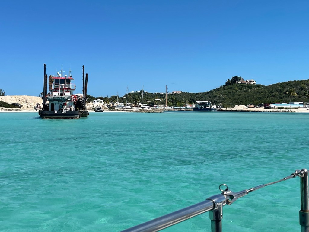
Finally the questions were all answered and we were ready to turn onto the course to enter South Side Marina. We had been warned to come in no later than mid tide but preferably at high tide. Unfortunately high tide on Feb. 21 was 6 am and 6 pm – we were entering around 11am. All was good for the first part of the 2nm route with depths in the 10ft range. Mark slowed us down as the depth dropped to about 8ft and when we were in this part of the route, we ran aground!! Even though we were going fairly slow, we got stuck hard (and we were going to low tide – not great). Mark quickly hoisted the main sail to try to heel us over so we could motor off (either forward or reverse) – no luck! Up went the jib and we began to bounce and rock in place. Slowly we moved forward and were off the high spot. The rest of the trip into the marina was a nail biter – our draft is 5 ft (we need at least 5.1ft to not touch bottom) and at one point our depth metre said we were in 4.9ft of water!! I guess we were plowing sand at that point!! We finally reached the entrance green and red buoys and turned into the marina basin. We were secured to the dock and settled in by about 11:30am.
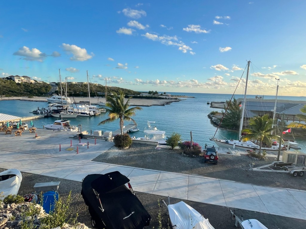
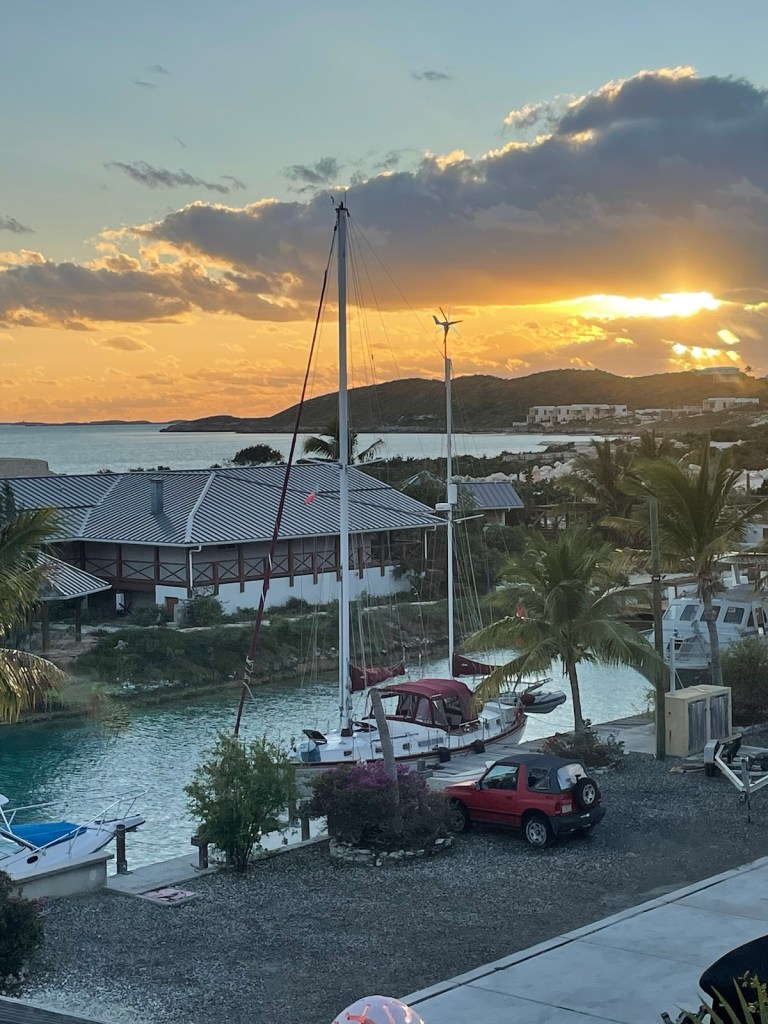
After lunch Mark had to check us in through customs and immigration. The 2 officers were at South Side earlier in the day so they had to return to check in us and 2 other vessels. Only the Captain of each ship goes ashore to check in – everyone else is supposed to stay onboard. So I cleaned up the interior of the boat (did dishes, put the main cabin back together because we set it up as a bed when doing long passages, removed all the pillows that were securing items during our passages) and then got connected to the wifi. Mark was back aboard by about 2 pm with our stamped passports but no cruising license. The officers didn’t have time to do that so they’ll come back later to give us our cruising permit for the 5 weeks we’ll be here.
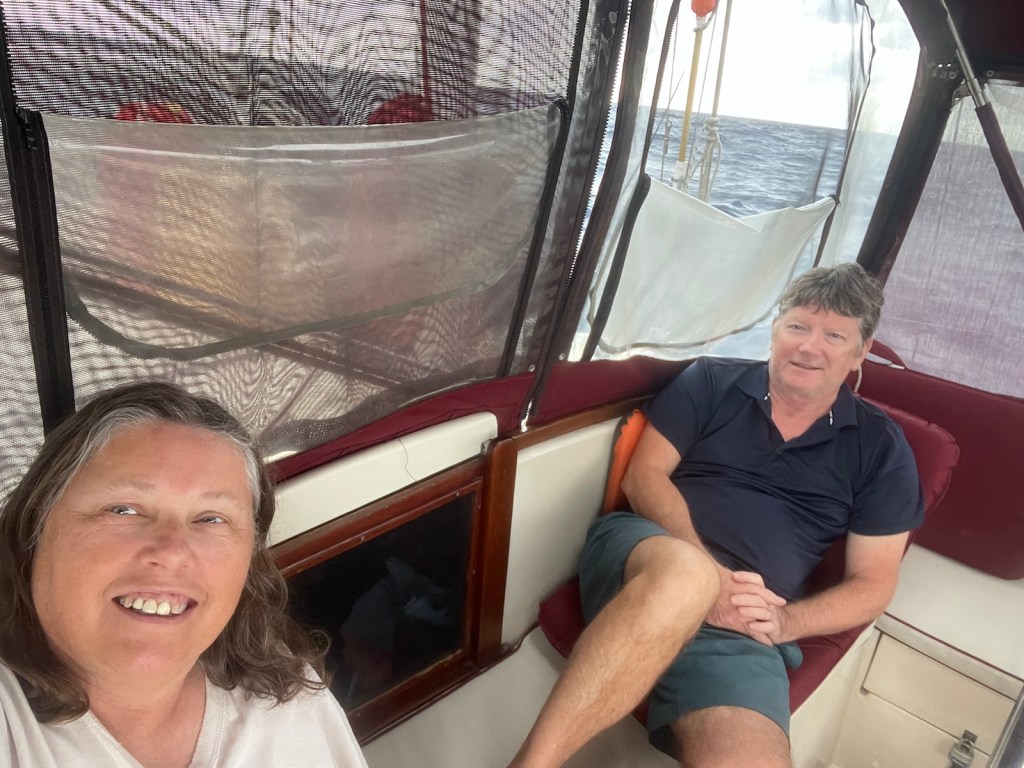
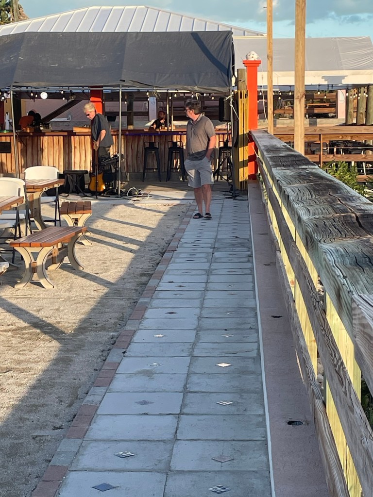
It was a great trip over and to celebrate we ordered dinner from the on-site restaurant (Bob’s Bar and Eats), brought it back to the boat and had a bottle of bubbly!! Now we have 2 weeks to explore Providenciales before Donalda and Bill join us on March 7th to March 19th. Evelyn, Caroline and their friend Samantha will be aboard from March 20 – 27 so we’ll have lots of company here!!

🤗🤩😎 Looking forward to joining you two! B & D
LikeLike
Me too! It’s beautiful here (so far 😁)
LikeLike